

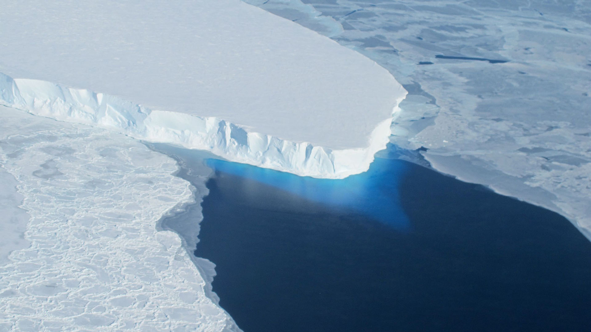
An international team of researchers has reported a staggering loss of 12.5 trillion tons of polar ice from Greenland and Antarctica since the 1970s. This finding is based on the longest satellite record in history, which spans from 1972 to 2023 and incorporates data from 42 satellite surveys and 27 missions. The majority of the ice loss is attributed to Greenland's ice sheets, with significant implications for global sea levels.
The Ice Sheet Mass Balance Inter-comparison Exercise (IMBIE) has provided a comprehensive overview of polar ice loss, revealing over 1.18 inches (3 centimeters) of sea level rise during this period. Researchers noted that 84% of the ice loss resulted from faster-flowing glaciers, while only 16% was due to surface melting. Climate change is identified as the primary driver of this long-term trend, emphasizing the urgent need for global assessments to protect communities vulnerable to climate impacts.
Looking ahead, the data indicates that ice loss has intensified since the 1990s, with Greenland experiencing a dramatic increase from 66 billion tons (60 billion tonnes) lost per year in the 1980s to 291 billion tons (264 billion tonnes) in the 2010s. As the world approaches critical climate thresholds, the importance of satellite data in monitoring these changes and informing policy decisions becomes increasingly clear. No further timeline was disclosed at the time of publication.
Editor's Note
The findings from the IMBIE project underscore the critical role of satellite technology in understanding climate change impacts. As ice loss accelerates, the implications for global sea levels and coastal communities become more severe. This data can inform policy decisions and highlight the need for urgent action to mitigate human-induced climate change effects.



































Leave a comment