

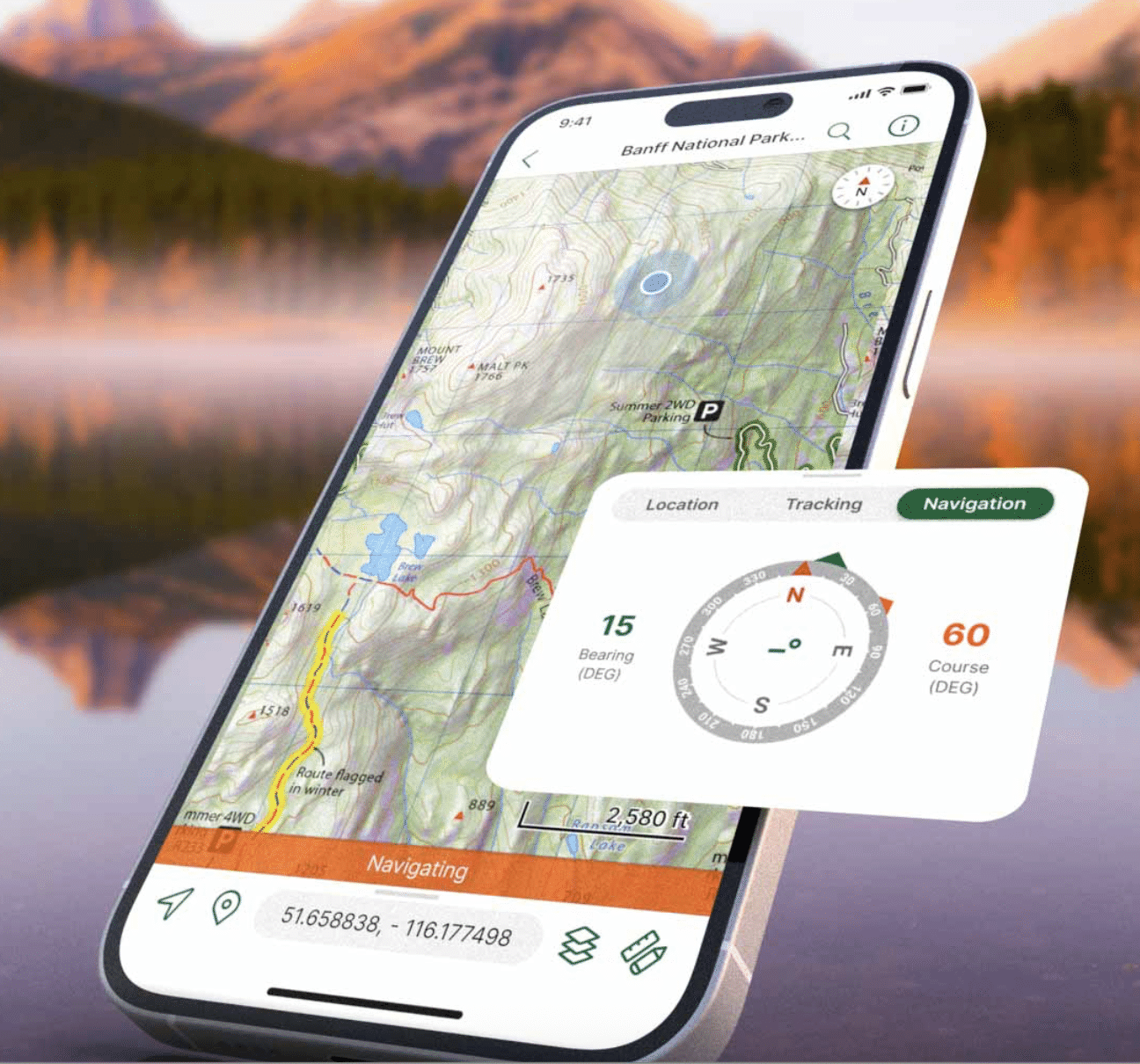
Blue Marble Geographics has launched a new Global Mapper subscription that integrates various applications and services for drone mapping professionals. This offering, available in Essentials, Advanced, and Professional tiers, aims to streamline the geospatial workflow by connecting data collection, processing, and analysis in a single platform.
The significance of this development lies in Blue Marble's strategy to create a cohesive geospatial workflow, especially following its merger with Avenza Systems in April 2026. The integration of Global Mapper with Avenza capabilities enhances the office-to-field and field-to-office connectivity, as highlighted by Eric Bogard, Vice President of Marketing at Blue Marble Geographics.
Looking ahead, the new subscription levels cater to different user needs, with Essentials focusing on basic data handling, Advanced offering enhanced analytical tools, and Professional providing comprehensive lidar and photogrammetry capabilities. No further timeline was disclosed at the time of publication.
Editor's Note
The introduction of Blue Marble's new subscription offering reflects a growing trend in the geospatial industry towards integrated solutions that simplify workflows. As companies increasingly seek to streamline operations, the ability to manage multiple tools under a single subscription could enhance productivity and reduce operational complexity in data collection and analysis.
































Leave a comment