

Industry Briefing
A single destination for timely, editor-curated robotics news from around the world.
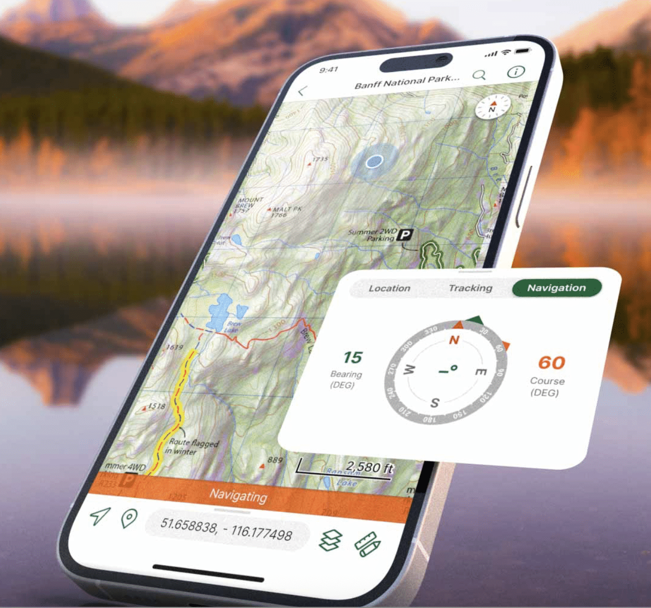
Blue Marble Geographics Enhances Geospatial Workflow with New Subscription Offering
Blue Marble Geographics has launched a new Global Mapper subscription that integrates various applications and services for drone mapping professionals. This offering, available in Essentials, Advanced, and Professional tiers, aims to streamline the geospatial workflow by connecting data collection, processing, and analysis in a single platform. The significance of this development lies in Blue Marble's strategy to create a cohesive geospatial workflow, especially following its merger with Avenza Systems in April 2026. The integration of Global Mapper with Avenza capabilities enhances the office-to-field and field-to-office connectivity, as highlighted by Eric Bogard, Vice President of Marketing at Blue Marble Geographics. Looking ahead, the new subscription levels cater to different user needs, with Essentials focusing on basic data handling, Advanced offering enhanced analytical tools, and Professional providing comprehensive lidar and photogrammetry capabilities. No further timeline was disclosed at the time of publication.
Applications Drone News Drone News Feeds Mapping Mapping Technology News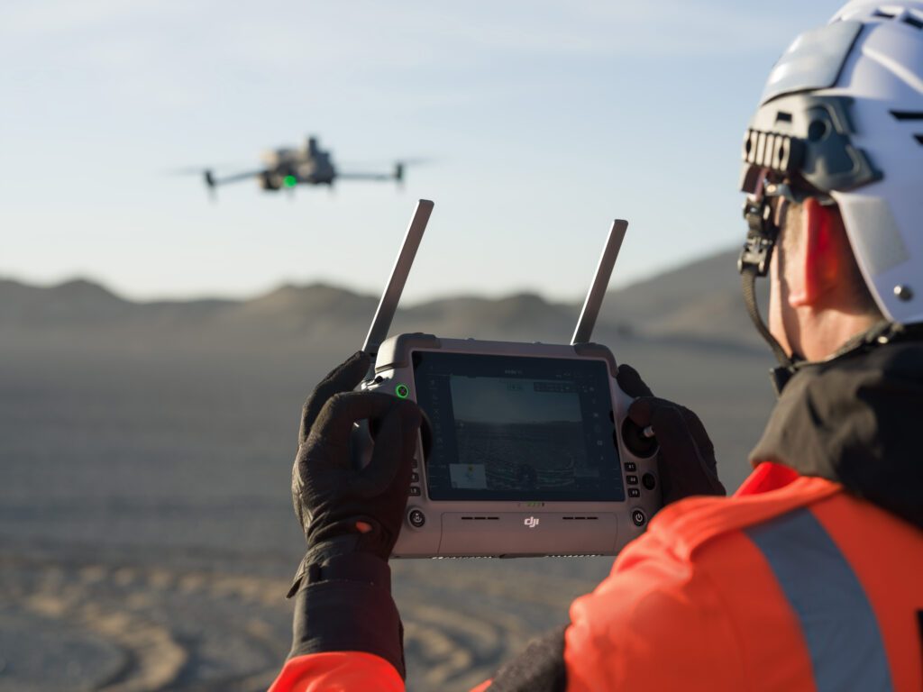
INTERGEO 2026 Highlights Shift from Drones to Geospatial Workflows
At INTERGEO 2026, the focus has transitioned from individual drones to comprehensive geospatial workflows. Drones, once a standalone category, now integrate seamlessly with crewed aircraft, satellites, and ground systems, enhancing data collection methods. Eric Bogard, Vice President of Marketing at Blue Marble Geographics, noted that drones are now viewed as tools within a broader toolkit for data collection, emphasizing the importance of workflow integration. This shift signifies a maturation in drone mapping technology, where the emphasis is on the results rather than the aircraft itself. The integration of drones into existing workflows allows surveyors and photogrammetrists to select the most suitable data collection methods for various scenarios. Customers at the event expressed a preference for how technologies work together rather than focusing on individual innovations, highlighting a collective industry evolution. Looking ahead, the challenge will be determining the appropriateness of drones for specific tasks and how their data can be effectively integrated into larger processes. The trend indicates that drones are now an integral part of the geospatial landscape, reshaping how surveying and mapping work is accomplished.
Applications Drone News Drone News Feeds Mapping Mapping Technology NewsRobotics needs a service framework.
RSF defines a common language for robot service capability, lifecycle operations, certification pathways, and service-provider networks.
Join the RobotToday community on LinkedIn
Daily robotics news, in-depth analysis, conference highlights, and discussions with professionals worldwide.







