

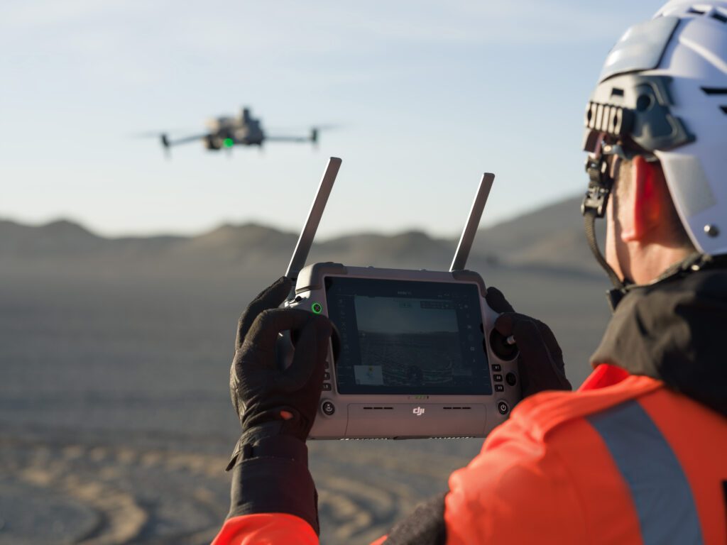
At INTERGEO 2026, the focus has transitioned from individual drones to comprehensive geospatial workflows. Drones, once a standalone category, now integrate seamlessly with crewed aircraft, satellites, and ground systems, enhancing data collection methods. Eric Bogard, Vice President of Marketing at Blue Marble Geographics, noted that drones are now viewed as tools within a broader toolkit for data collection, emphasizing the importance of workflow integration.
This shift signifies a maturation in drone mapping technology, where the emphasis is on the results rather than the aircraft itself. The integration of drones into existing workflows allows surveyors and photogrammetrists to select the most suitable data collection methods for various scenarios. Customers at the event expressed a preference for how technologies work together rather than focusing on individual innovations, highlighting a collective industry evolution.
Looking ahead, the challenge will be determining the appropriateness of drones for specific tasks and how their data can be effectively integrated into larger processes. The trend indicates that drones are now an integral part of the geospatial landscape, reshaping how surveying and mapping work is accomplished.
Editor's Note
The evolution of drone technology towards integration within broader geospatial workflows reflects a significant trend in the industry. As enterprises increasingly seek efficiency and collaboration across technologies, the focus on seamless data integration will drive procurement decisions and influence future developments in the sector. This shift may also impact investment strategies as companies look to enhance their capabilities in geospatial data collection and analysis.






























Leave a comment