


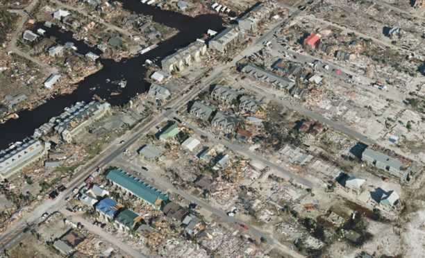
SimActive's Correlator3D photogrammetry software has been instrumental in a large-scale mapping initiative for green hydrogen development in southern Chile. Geo4D, a Chilean geospatial firm, utilized the software to process high-resolution aerial imagery over an area exceeding 100,000 hectares, producing essential geospatial products like orthomosaics and digital terrain models.
This project underscores the challenges of large-area aerial mapping, particularly in remote regions like Patagonia, where adverse weather conditions hinder data collection. SimActive's Correlator3D proved vital in processing Phase One imagery, enabling Geo4D to deliver accurate mapping products despite difficult image-matching conditions, as highlighted by Geo4D's CEO, Francisco Ramos.
Looking ahead, the advancements in Correlator3D, including improved processing capacity and workflow efficiency, will be crucial for future projects. The software's capabilities in handling high-resolution imagery from various platforms, including drones and crewed aircraft, position it as a key tool for geospatial applications in energy and infrastructure sectors.
Editor's Note
The integration of advanced photogrammetry software like SimActive's Correlator3D is transforming the landscape of geospatial mapping, particularly in sectors such as energy and infrastructure. As demand for accurate and efficient mapping solutions grows, the ability to process large volumes of high-resolution imagery becomes increasingly critical. This trend reflects broader shifts in technology adoption within the industry, emphasizing the importance of reliable data in decision-making processes.




































Leave a comment