


Spexi Geospatial
"Earth's Living Drone Imagery Layer for Physical AI"
Canadian drone imagery platform operating a global crowdsourced pilot network (LayerDrone) to deliver sub-3cm resolution aerial data for spatial AI.
Contact Spexi Geospatial
WEBSITE
https://www.spexi.com/HEADQUARTERS
Canada


Company Facts
Founded
2017
Primary Role
Software/Algorithm
Company Size
-
Primary Region
North America
Annual Sales
-
Funding Stage
Early-Stage VC
Funding Total
-
Keywords
Odyssey Unveils Odyssey-3, a Groundbreaking World Model for Robotics and AI
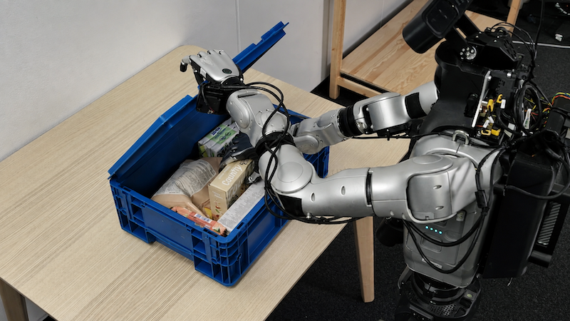
Odyssey, an AI research company, has launched Odyssey-3, its most advanced world model to date. This model represents a major leap towards general-purpose intelligence, enabling systems to understand, predict, and interact with both physical and virtual environments. Odyssey-3 can control robots, humanoids, vehicles, and drones, and has already been adopted by companies like Flexion. The significance of Odyssey-3 lies in its ability to provide intelligent systems with a foundational understanding of the world, allowing them to learn new tasks more efficiently. By leveraging a vast dataset of visual observations, the model has developed insights into physics, dynamics, and human behavior, which can be applied across various systems. This capability marks a shift in how AI can adapt and operate in diverse environments with minimal additional training. Looking ahead, the focus will be on how Odyssey-3 can further enhance the capabilities of physical agents in different applications. As Oliver Cameron, co-founder and CEO of Odyssey, stated, the model is a crucial step towards achieving a single intelligence that can seamlessly operate across multiple tasks and environments. No further timeline was disclosed at the time of publication.

New 'SANDO' System Keeps UAVs Safe from Collisions in Wildfire Areas
The 'SANDO' system enhances the safety of uncrewed aerial vehicles (UAVs) by ensuring their flight paths remain collision-free, particularly in hazardous environments like wildfires. This technology is crucial as UAVs are often deployed to gather vital information in such dangerous situations, where they face risks from sudden flare-ups and falling debris. The importance of the 'SANDO' system lies in its ability to protect UAVs from potential damage during operations in uncharted territories. By avoiding collisions with obstacles such as tree branches, the system allows for safer data collection, which is essential for rescuers responding to wildfires. This advancement could significantly improve the effectiveness of UAVs in emergency response scenarios. Looking ahead, the implementation of the 'SANDO' system could lead to broader applications of UAVs in various challenging environments. As the technology develops, stakeholders will be keen to observe its impact on UAV operational safety and efficiency in disaster response efforts. No further timeline was disclosed at the time of publication.
Robotics
Assessing Pose Estimation Uncertainty in Multi-Sensor Robotic Systems via Point Cloud Registration
The study published in the Journal of Field Robotics evaluates the uncertainty in pose estimation arising from automatic point cloud registration in multi-sensor robotic systems. This research is crucial as accurate pose estimation is vital for the effective operation of robotic systems in various applications. Understanding the uncertainty in pose estimation can significantly enhance the reliability and performance of robotic systems, especially in complex environments where multiple sensors are utilized. The findings of this study could lead to improved algorithms and methodologies for better integration of sensor data, ultimately benefiting industries that rely on advanced robotics. Looking ahead, researchers and engineers should monitor developments in pose estimation techniques and their applications in real-world scenarios. No further timeline was disclosed at the time of publication.
RESEARCH ARTICLE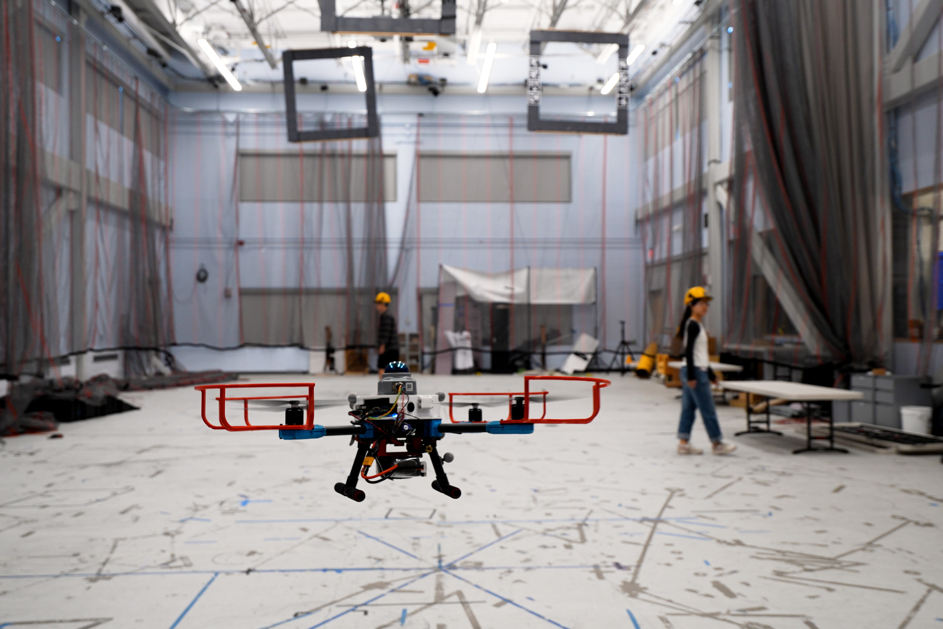
MIT Develops SANDO: A Collision-Free Navigation System for UAVs in Unknown Environments
MIT researchers have developed an autonomous navigation system named SANDO, designed for uncrewed aerial vehicles (UAVs) to navigate safely in unpredictable environments. This system ensures that UAVs can avoid collisions with unknown moving obstacles, which is crucial in high-risk scenarios like search and rescue missions or disaster response. The significance of SANDO lies in its ability to provide formal safety guarantees in dynamic environments, where traditional navigation systems fall short. Unlike existing planners that only work in static settings or lack formal guarantees, SANDO uses a mathematical approach to ensure collision avoidance, making it particularly valuable for applications requiring real-time adaptability. Looking ahead, the potential applications for SANDO are vast, including emergency medical supply deliveries and exploration in hazardous areas. As the technology matures, it could revolutionize how UAVs operate in complex environments, enhancing safety and efficiency. No further timeline was disclosed at the time of publication.
Research Computer science and technology Algorithms Drones Robotics Autonomous vehicles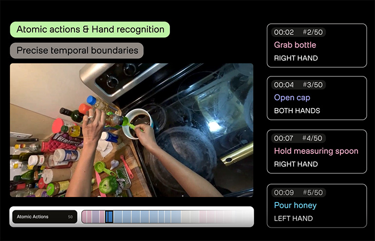
TwelveLabs Launches Pegasus 1.6 for Enhanced Video Understanding in Physical AI
TwelveLabs Inc. has unveiled its Pegasus 1.6 model, designed to enhance video understanding for physical AI applications. This model addresses the challenge of transforming complex video footage into actionable insights, enabling robotics and AI teams to train on real human experiences rather than starting from scratch. The significance of Pegasus 1.6 lies in its ability to provide temporal context, spatial reasoning, and task completion judgment, which are crucial for machines to navigate real-world environments. According to Jae Lee, co-founder and CEO of TwelveLabs, the model allows for a more precise understanding of actions and interactions captured in egocentric video, facilitating the development of smarter robotics systems. Looking ahead, TwelveLabs aims to further refine its video intelligence platform, focusing on the video understanding layer to improve training data for robotics teams. The company emphasizes that Pegasus 1.6 can utilize existing video data and analyze still images, making it a versatile tool for various applications in physical AI. No further timeline was disclosed at the time of publication.
Artificial Intelligence Artificial Intelligence / Cognition Assembly Human Robot Interaction / Haptics Manufacturing Microprocessors / SoC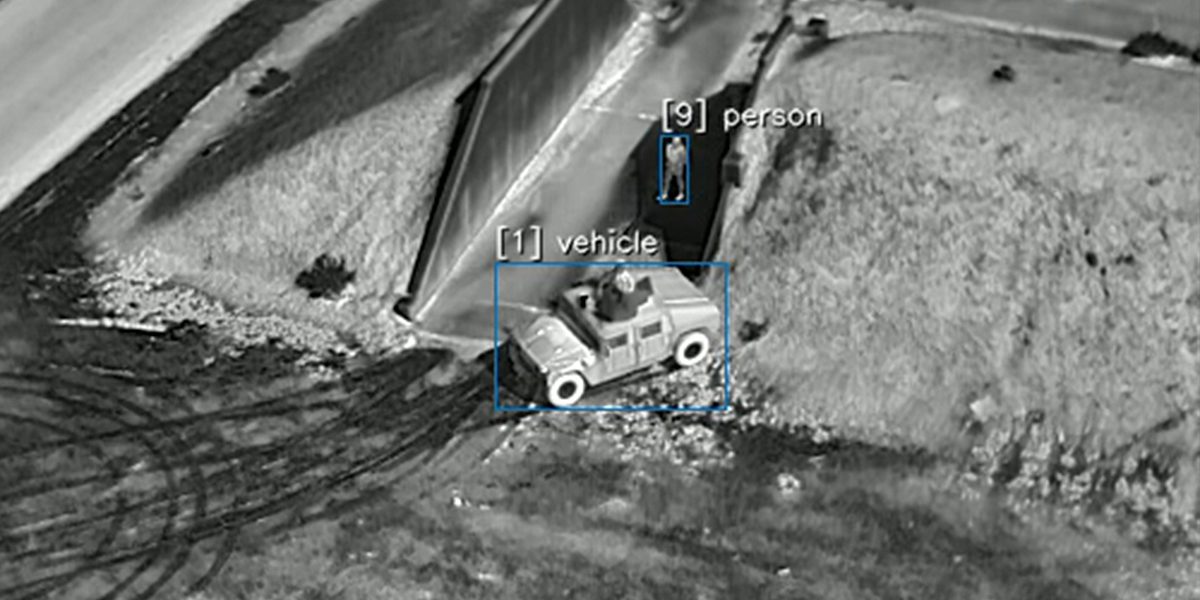
Teledyne FLIR Introduces AI-Driven Air-to-Ground Tracking Software for UAS
Teledyne FLIR OEM has unveiled Prism A-ISR, a cutting-edge software module aimed at enhancing air-to-ground detection and tracking for uncrewed aircraft systems (UAS) and airborne intelligence, surveillance, and reconnaissance (ISR) platforms. Announced on October 6, this software leverages artificial intelligence to detect, classify, and track multiple ground objects in real time, utilizing data from various sensor types including midwave infrared (MWIR) and visible electro-optical (EO) sensors. The significance of Prism A-ISR lies in its ability to perform edge processing, enabling airborne systems to analyze sensor data independently of remote computing resources. This capability is crucial for applications requiring persistent surveillance and defense missions, as it enhances long-range situational awareness while minimizing false alarms. Teledyne FLIR's advanced image processing tools, including patented denoise and super-resolution technology, further improve detection capabilities in challenging conditions. Looking ahead, Teledyne FLIR's AIMMGen synthetic model-training service allows developers to quickly adapt the software for new target classes, streamlining the creation of mission models. The software is compatible with NVIDIA and Qualcomm embedded AI platforms and several Teledyne FLIR camera modules, including the NDAA-compliant Boson+ and Neutrino thermal camera families. No further timeline was disclosed at the time of publication.
AI Applications C-UAS Defense defense Drone News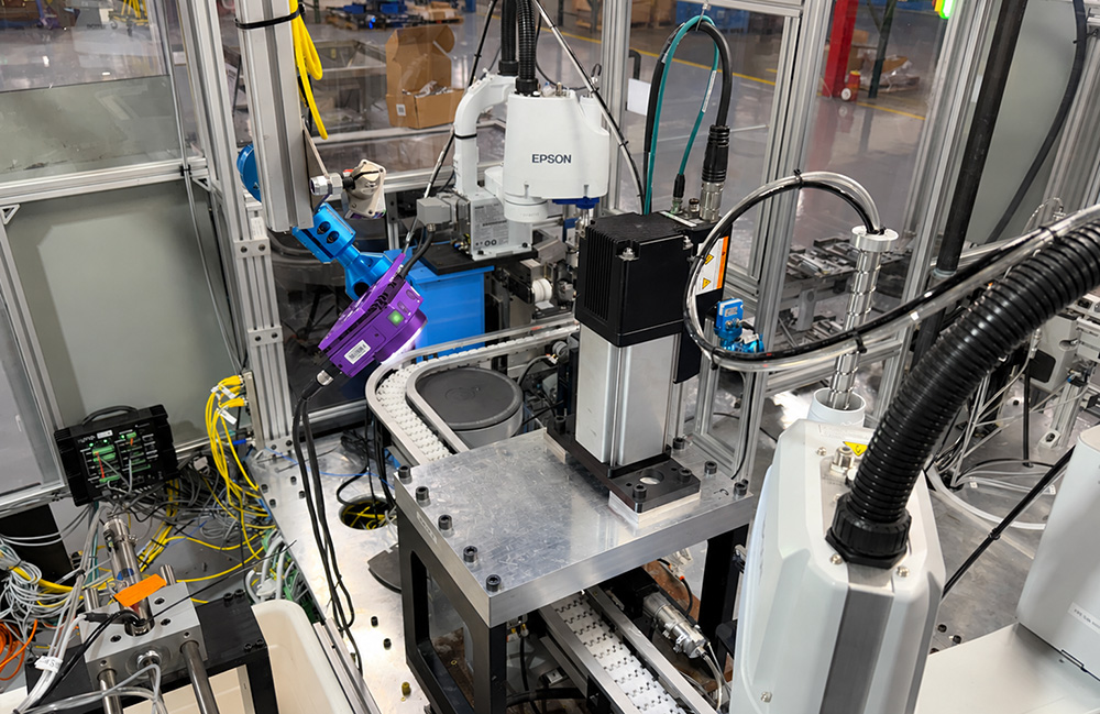
Overview AI Introduces OV Spark and OV Spark Pro AI Inspection Cameras
Overview AI has launched the OV Spark and OV Spark Pro, a new line of AI inspection cameras featuring an agentic AI layer that communicates in plain English. The cameras come equipped with 10 inspection tools, including seven deep learning AI models and three ready-to-use tools for barcodes, measurements, and color matching. The introduction of the OV Spark cameras is significant as they address the challenges of consistency in inspection processes. Christine Chacko, a technical product marketing manager at Overview AI, highlighted that the cameras adapt to the shifting and rotating parts in a robot cell, ensuring accurate inspections. This innovation aims to enhance defect detection across factory lines. Looking ahead, Overview AI's mission is to ensure that every defect is caught in every factory, with the OV Spark designed to minimize setup work. The cameras are currently available for purchase directly from Overview AI and through distribution partners. No further timeline was disclosed at the time of publication.
Artificial Intelligence Artificial Intelligence / Cognition Cameras / Imaging / Vision Design / Development Manufacturing News
Epson Showcases Color Labeling and Robotic Automation at PACK EXPO 2026
Epson has announced its participation in PACK EXPO International, scheduled from October 18 to 21, 2026, where it will demonstrate its ColorWorks® on-demand color label printers, collaborative robots, and vision technology. These innovations aim to enhance the efficiency of packaging and fulfillment operations. The introduction of ColorWorks printers allows manufacturers to produce high-quality, customized color labels on demand, addressing the growing need for flexibility in labeling processes. Coupled with robotic automation, these solutions are designed to streamline various tasks, including handling, inspection, and packaging, thereby improving overall productivity. As the event approaches, industry professionals should watch for how Epson's integrated solutions can transform labeling and packaging workflows. No further timeline was disclosed at the time of publication.
OpenAI's GPT-6 Astra Dominates SuperCLUE's Robot-Brain Benchmark with Planning Superiority
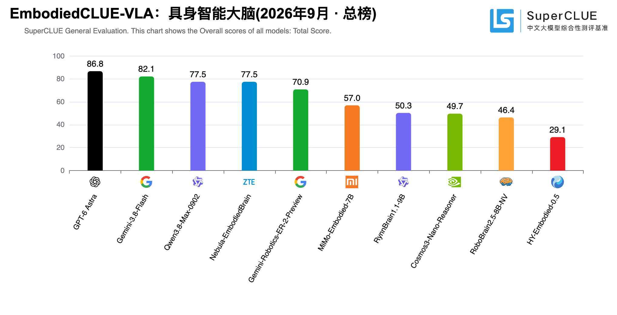
OpenAI's GPT-6 Astra achieved the highest overall score in SuperCLUE's September 2026 EmbodiedCLUE-VLA evaluation, leading with a score of 85.71 in interaction and planning. This score significantly surpasses the runner-up, Gemini-3.8-Flash, which scored 64.29, highlighting Astra's notable advantage in planning capabilities. The importance of this evaluation lies in its comprehensive assessment of ten models, which includes basic perception, visual reasoning, interaction, planning, and embodied safety. SuperCLUE's report indicates that while Astra leads in overall performance, the evaluation's fixed input/output protocol may limit the generalization of results across different tasks and protocols, making it a useful but narrow comparison of each model's capabilities. Looking ahead, the next critical aspect to observe is how these models perform in real-world scenarios, particularly in executing plans and adapting to unforeseen circumstances. The results from physical trials will be essential to determine the practical applications of these models in robotics, beyond the theoretical scores presented in this benchmark.
OpenAI China
IMTS 2026 Preview: Record Orders and the Automation Story
IMTS 2026 opens in Chicago with 1,788 exhibitors and record H1 machine tool orders. What the USMTO data says about automation, and the booths to see.
WRC 2026 Robot Systems: 149 Companies That Build Robots
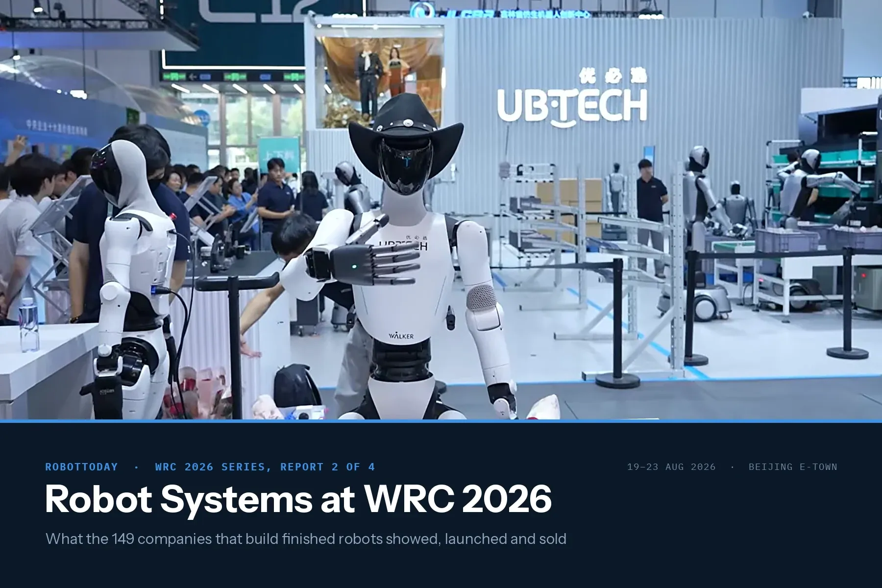
149 of the 248 classified WRC 2026 exhibitors build finished robots. 93 build humanoid or legged machines. The audited humanoid sales number is one unit.
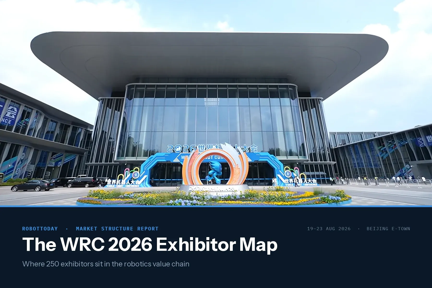
WRC 2026 Exhibitor Map: 248 Robotics Companies Mapped
We classified 248 WRC 2026 exhibitors with the RobotToday taxonomy. Motion & Actuation leads at 75 companies, Humanoid at 72, and compute stays thin at 12. (Modified 2026-08-27)

ROBOTTODAY Weekly July 13 – 17, 2026
This week in robotics: Hyundai takes full ownership of Boston Dynamics, Xpeng targets 1,000 Iron humanoids a month, LimX Dynamics raises $200M pre-IPO, and Agility opens a Silicon Valley physical-AI hub. July 13–17, 2026.

Physical AI Landscape: From Digital Intelligence to the Embodied Physical World
A comprehensive industry analysis of Physical AI — covering Embodied AI, Field AI, Factory AI, VLM, World Model, VLA, and the VLA vs WAM architecture debate. Includes 20+ companies, 28 references, and the RobotToday Physical AI Landscape diagram. July 2026.
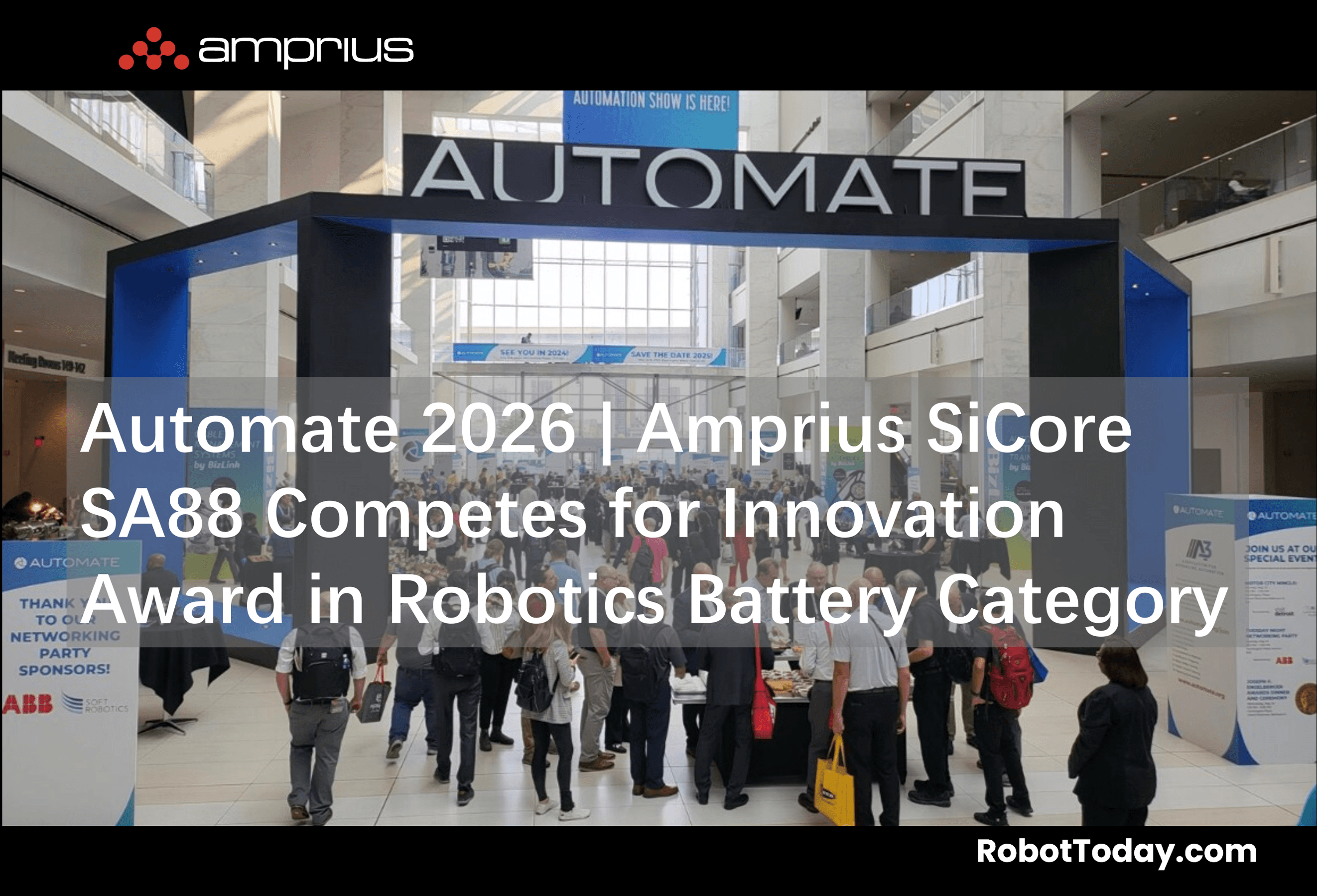
Automate 2026 | Amprius SiCore SA88 Competes for Innovation Award in Robotics Battery Category
At Automate 2026 in Chicago, Amprius Technologies exhibited its SiCore SA88 silicon-anode pouch cell — 358 Wh/kg, 750 Wh/L — as a finalist in the Components, Hardware & Enabling Technologies category. Analysis of implications for AMR, UAV, and aerial mobility platforms.
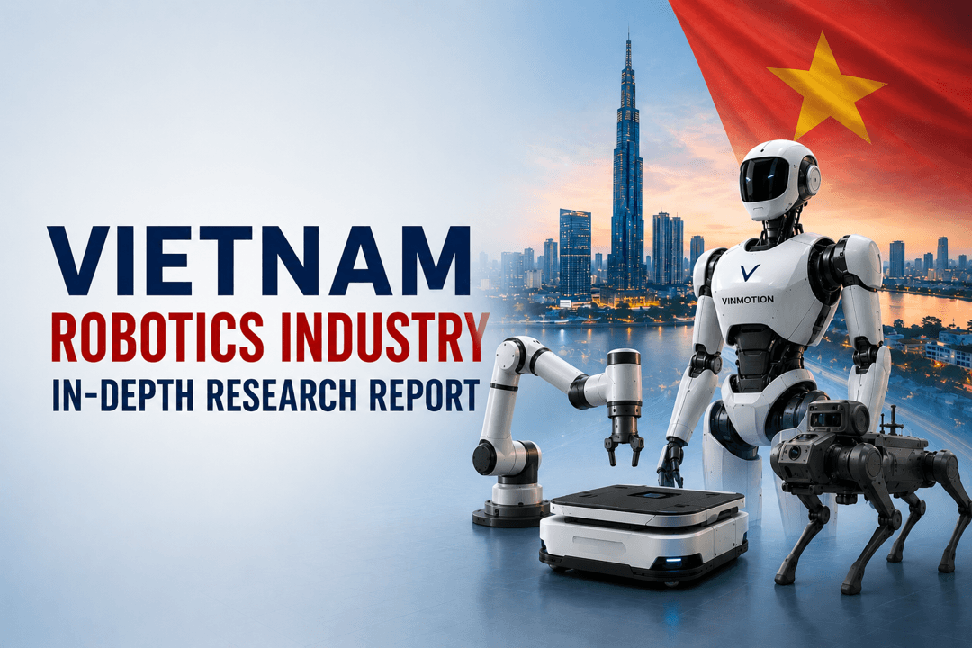
Vietnam Robotics Industry Report 2026
Comprehensive analysis of Vietnam's robotics industry: market size, industrial policy, key companies (Vingroup, Apicoo, Phenikaa-X), geopolitical dynamics, and 2030 growth opportunities.

Niantic Spatial and Spexi Turn Drone Imagery Into Physical AI
Niantic Spatial and Spexi Geospatial have formed a strategic partnership to enhance the use of aerial drone imagery for enterprise applications. This collaboration integrates Spexi’s extensive aerial data network with Niantic Spatial’s advanced 3D reconstruction technology, enabling the creation of city-scale 3D Gaussian splats. Announced recently, this initiative aims to provide businesses with on-demand access to drone imagery, facilitating the development of physical AI solutions. The partnership is expected to streamline the process of transforming aerial captures into actionable data for various industries, marking a significant advancement in the utilization of drone technology for commercial purposes.
AI Drone News Drone News Feeds Mapping News 3D reconstruction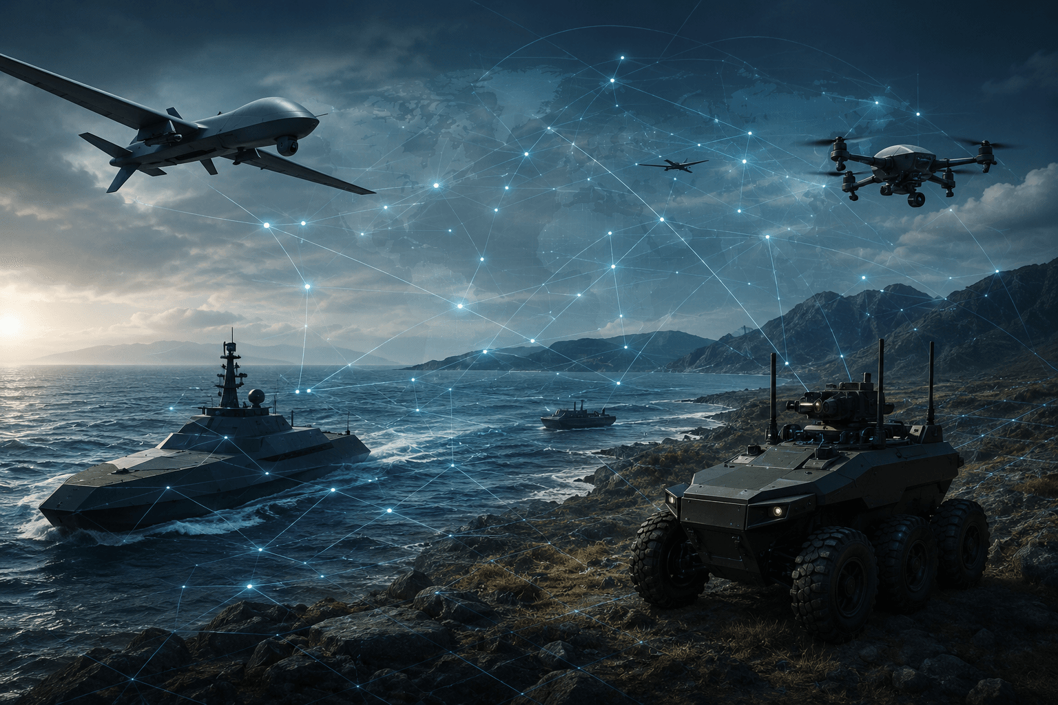
FUTURE WARFARE | Cross-Domain Integration - Integration How Land, Sea, Air and Software Are Converging Into a Single Kill Chain
Cross-domain robotics is reshaping modern warfare as drones, UGVs, AI targeting systems, and autonomous logistics converge into a single networked kill chain across land, sea, air, and software.

RobotToday Weekly Industry Briefing: Feb 2 – 6, 2026
Robotics shifted from demos to deployment post-CES 2026, led by China’s humanoid scale, AI robot brains, and accelerating industrial adoption.
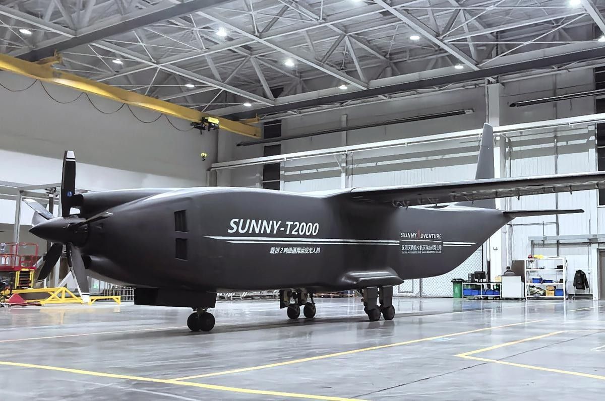
Sunny t2000 china s first 2 ton turboprop cargo uav signals a new era for heavy unmanned logistics
The SUNNY-T2000 signals a shift in heavy cargo UAVs, showing how two-ton unmanned aircraft are reshaping regional and industrial air logistics.


