In the wake of a catastrophic earthquake, researchers are exploring the use of unpiloted aerial vehicles (UAVs) to assist in rescue operations by navigating through collapsed structures. These UAVs are designed to create detailed maps of disaster zones, providing critical information that can help rescuers locate and reach survivors more efficiently. However, the implementation of this technology presents significant challenges, as the autonomous drones must be capable of rapidly adjusting their flight paths to avoid unexpected obstacles while maintaining their intended course. The development of such advanced UAV systems aims to enhance emergency response efforts and improve outcomes in disaster scenarios.


Autonomous Vehicle / UGV
Motion & Navigation
Perception & Vision
Human-Machine Interaction

Original from TechXplore:Robotics: Open-source framework lets drones dodge obstacles in milliseconds while minimizing travel time
Open-source framework lets drones dodge obstacles in milliseconds while minimizing travel time
RobotToday Initiative
Robotics needs a service framework.
RSF defines a common language for robot service capability, lifecycle operations, certification pathways, and service-provider networks.
Yushu Launches G1+ Robot Featuring Advanced Perception and Motion Enhancements
Yushu has unveiled the G1+ robot, which includes significant hardware upgrades such as increased neck degrees of freedom, an enhanced vision system with dual cameras and 3D LiDAR, and improved motor torque. The robot's far-field audio system has also been upgraded to support sound source localization and noise reduction, with a total price of 95,000 yuan....
Humanoid Robots AI Robotics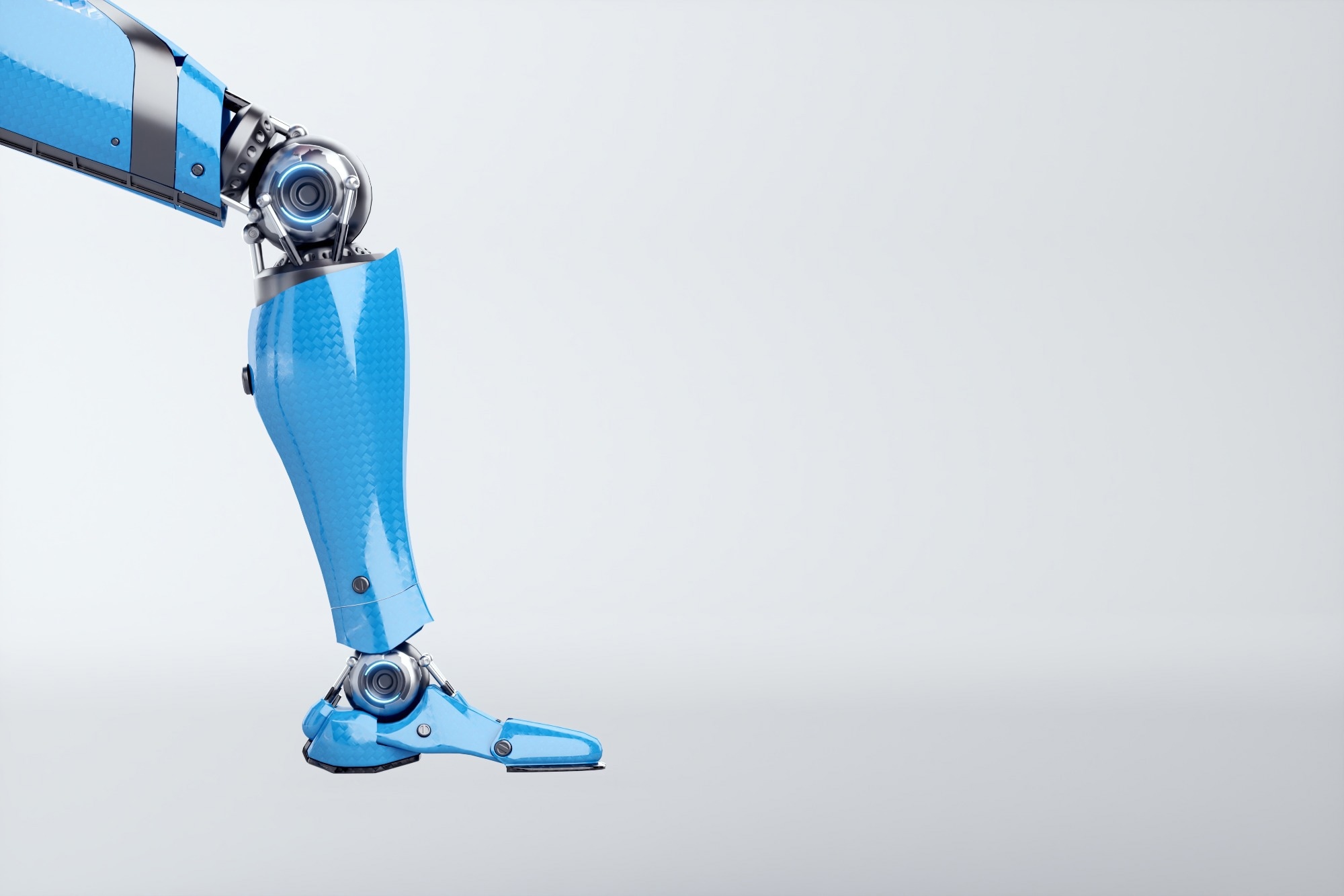
Human-Inspired Hip Motion Reduces Biped Robot Walking Energy Consumption by 14%
Researchers discovered that incorporating human-like vertical hip motion in biped robots can decrease walking energy consumption by around 14%. This reduction is primarily attributed to a significant decrease in energy usage at the stance-knee phase of walking. This finding is crucial as it highlights the potential for improving energy efficiency in biped...

Light Origins Releases Open-Source LightNav-0 Navigation Model for Monocular Systems
Light Origins has announced the open-sourcing of LightNav-0, a navigation model based on Qwen3-VL-4B. This model was trained using the Real2Sim2Real methodology, incorporating over 2,000 scenes and more than 4,000 hours of Visual Language Annotation (VLA) data. It excels in leading 10 monocular navigation benchmarks with zero-shot body transfer capabiliti...

New AI Training Technique Enhances Robot Navigation in Crowded Areas
A research team led by Professor Daehee Park at DGIST, in collaboration with KAIST, has developed an innovative AI training method. This technique allows a single compact AI model to predict the movements of nearby individuals while planning safe navigation paths for robots, effectively minimizing performance degradation in both tasks. This advancement is...
Robotics
Innovation Works Venture Expo 2026: 58 Pittsburgh Startups Pitch to Investors
58 health, deep tech and robotics startups pitched at Innovation Works Venture Expo 2026 in Pittsburgh. Full company list, program and 2025 funding data.
Market and Business News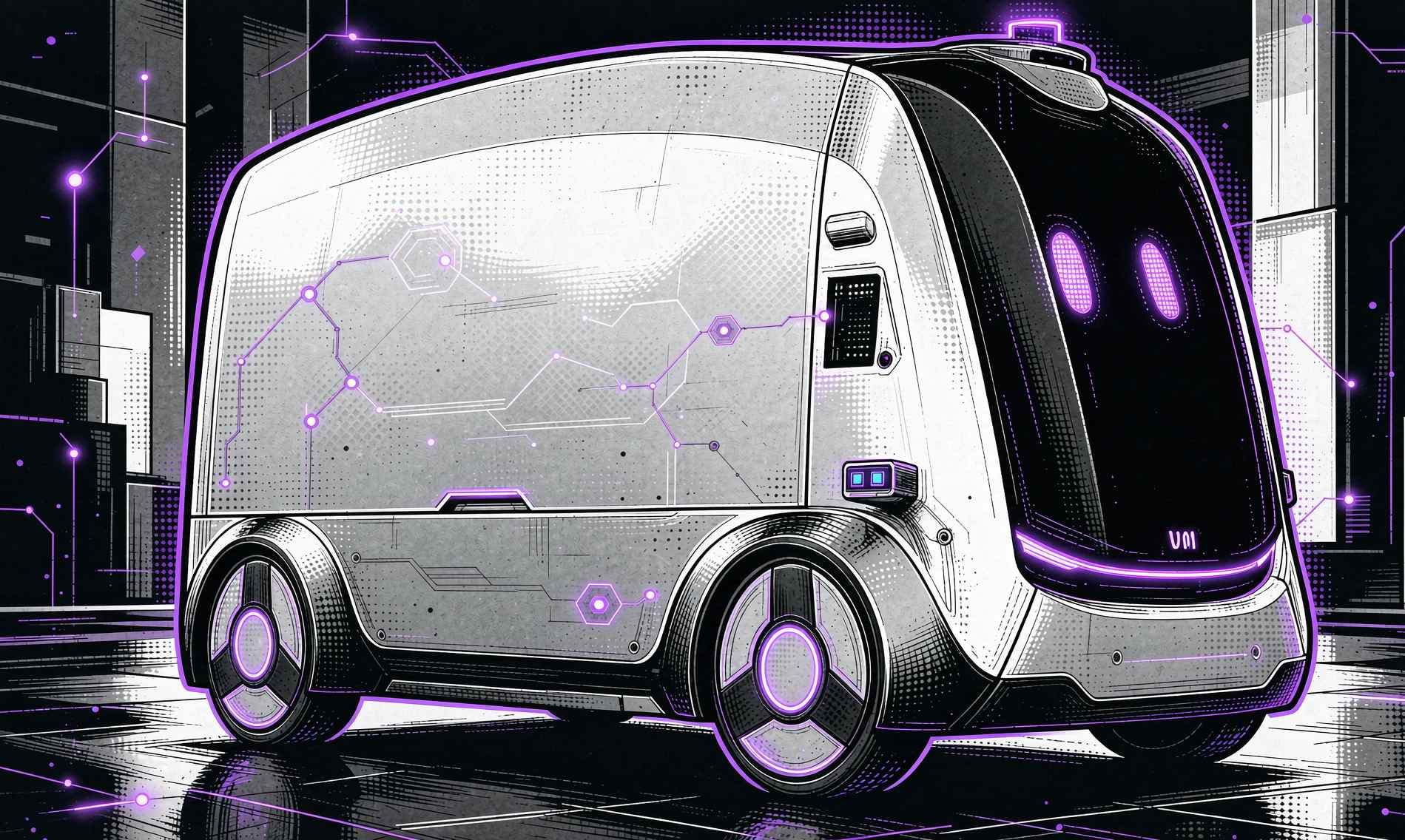
Jiushi Expands Its 30,000 Autonomous Vehicles into Urban Governance Applications
Jiushi has announced a strategic upgrade to its urban-level physical AI, aiming to extend its 'Jiushi Brain' capabilities beyond autonomous logistics vehicles. CEO Kong Qi emphasized that the company will leverage its extensive operational experience and data from over 30,000 vehicles, which have collectively traveled more than 250 million kilometers acro...
Autonomous Vehicles Urban Governance AI Technology
Selecting the Optimal Rack and Pinion System for Precision Linear Motion Applications
GAM has developed rack, pinion, and gearbox systems designed for high performance across all components. A rack and pinion system operates by converting rotational motion from the pinion into linear motion via the rack. Choosing the correct system is crucial, as improper selection can lead to performance issues and increased costs. According to Matt Ruggl...
Actuators / Motors / Servos Motion Control News
Bionic Emotion-Sensing Humanoid Robot Demonstrates Real Tears During Interaction
A new humanoid robot has been developed that can express emotions by shedding real tears while communicating. This advancement highlights the potential for robots to engage more authentically with humans, enhancing their roles in various applications. The ability of this robot to exhibit genuine emotional responses could significantly impact industries su...
AI and Robotics
Ant International, Visa, and Mastercard Collaborate on Know-Your-Agent Framework for AI Payments
Ant International, Visa, and Mastercard have initiated the development of a Know-Your-Agent (KYA) interoperability framework aimed at enhancing AI-driven payments. This framework will assist card networks, digital wallets, agent platforms, and online marketplaces in identifying and onboarding reliable AI agents while maintaining existing verification and ...
News Feed
Kamiwaza AI Introduces Signal65 PINNACLE Framework for Enterprise AI Evaluations
Kamiwaza AI has launched Signal65 PINNACLE, an independent benchmarking framework designed for enterprise evaluations. This new framework is co-developed with and powered by Kamiwaza technology, enabling organizations to effectively assess their AI capabilities. The introduction of Signal65 PINNACLE is significant as it provides enterprises with a structu...

A Multilevel Path Planning Framework for Unmanned Surface Vehicles in Environmental Monitoring
A new multilevel path planning framework has been developed for unmanned surface vehicles (USVs) aimed at enhancing environmental monitoring of uninhabited islands and reefs. This framework utilizes information-driven techniques to optimize navigation and data collection processes in challenging marine environments. The significance of this development li...
RESEARCH ARTICLE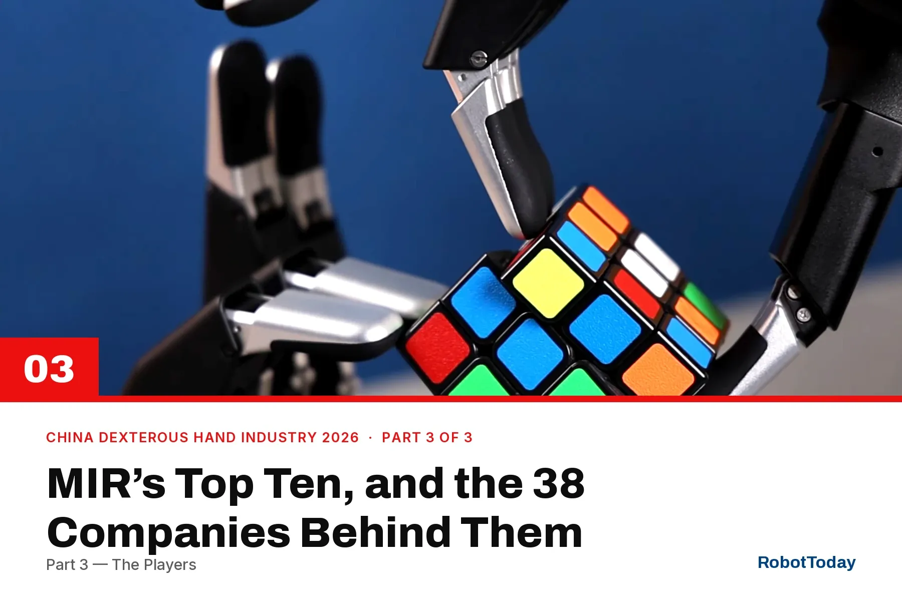
China’s Dexterous Hand Industry, 2026 Part 3 — The Players
Five vendor archetypes, MIR’s composite top ten, eight company profiles and six field deployments — every firm linked to the RobotToday supplier directory.
Components and Hardware Humanoids
Didi Chuxing (CN)
China
Didi Chuxing is a Chinese ride-hailing platform that has expanded into autonomous vehicle research and development. The company operates a large-scale mobility service network and invests in self-driving technology.
Drone Delivery Canada
Canada
Operates the FLYTE proprietary platform for automated cargo UAS, with integrated air traffic management and DroneSpot depots for medical and commercial use.
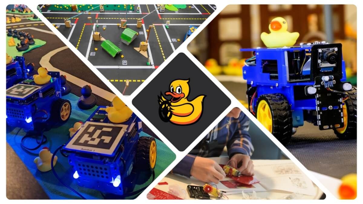
Duckietown Robotics
United States
Educational robotics platform provider offering autonomous vehicle kits and AI curricula used by 250+ universities worldwide.
Pendulum Systems
United States
Seattle AI software company delivering device-native alt-PNT navigation for GPS-denied environments across drones, defense, and supply chains.

Physik Instrumente (PI) GmbH
Germany
German precision motion leader founded 1970; makes piezo actuators, nanopositioning stages, hexapod robots for semiconductor, photonics, and medical markets.

PBA Systems Pte Ltd
Singapore
Singapore precision motion specialist (est. 1999); direct drive motors, nano-precision gantry stages, and mechatronic systems for semiconductor packaging.
Australian Centre for Robotic Vision
Australia
World's first research centre specialising in robotic vision, an ARC Centre of Excellence led by QUT.
Machine Vision Lighting Inc.
Japan
Tokyo firm whose patented VISA-Method lighting delivers uniform illumination and one-step 3-D imaging for machine-vision inspection.

Tangram Vision
United States
Perception infrastructure software and hardware company enabling reliable sensor calibration and integration for robotics and autonomous systems.

Human in Motion Robotics
Canada
Canadian company developing hands-free lower-limb exoskeletons for spinal cord injury and stroke rehabilitation.
LG Display
Korea, Republic of (South)
Seoul display maker (KRX:034220, NYSE:LPL), formed 1999, that launched plastic OLED humanoid-robot face panels for industrial settings in 2026.

Roboblock System Co., Ltd.
Korea, Republic of (South)
South Korean robotics distribution and development company founded in 1997; supplies AI robots, drones, humanoid kits, and VR/AR systems internationally.
Join the RobotToday community on LinkedIn
Daily robotics news, in-depth analysis, conference highlights, and discussions with professionals worldwide.





Leave a comment