The National Oceanic and Atmospheric Administration's National Ocean Service has launched a hydrographic survey project aimed at mapping and characterizing over 30,000 square nautical miles of federal waters off the coast of American Samoa. Announced today, this initiative aligns with the Department of Commerce's efforts to execute the U.S. Offshore Critical Minerals Mapping Plan, which was established under President Trump’s Executive Order 14285. This order seeks to enhance the exploration and utilization of America's offshore critical minerals and resources, highlighting the government's commitment to advancing marine resource management and environmental stewardship. The survey will utilize advanced mapping technologies to gather essential data, which will inform future resource development and conservation strategies in the region.



NOAA to Map Critical Mineral Deposits in Deep Waters off American Samoa
Robotics needs a service framework.
RSF defines a common language for robot service capability, lifecycle operations, certification pathways, and service-provider networks.
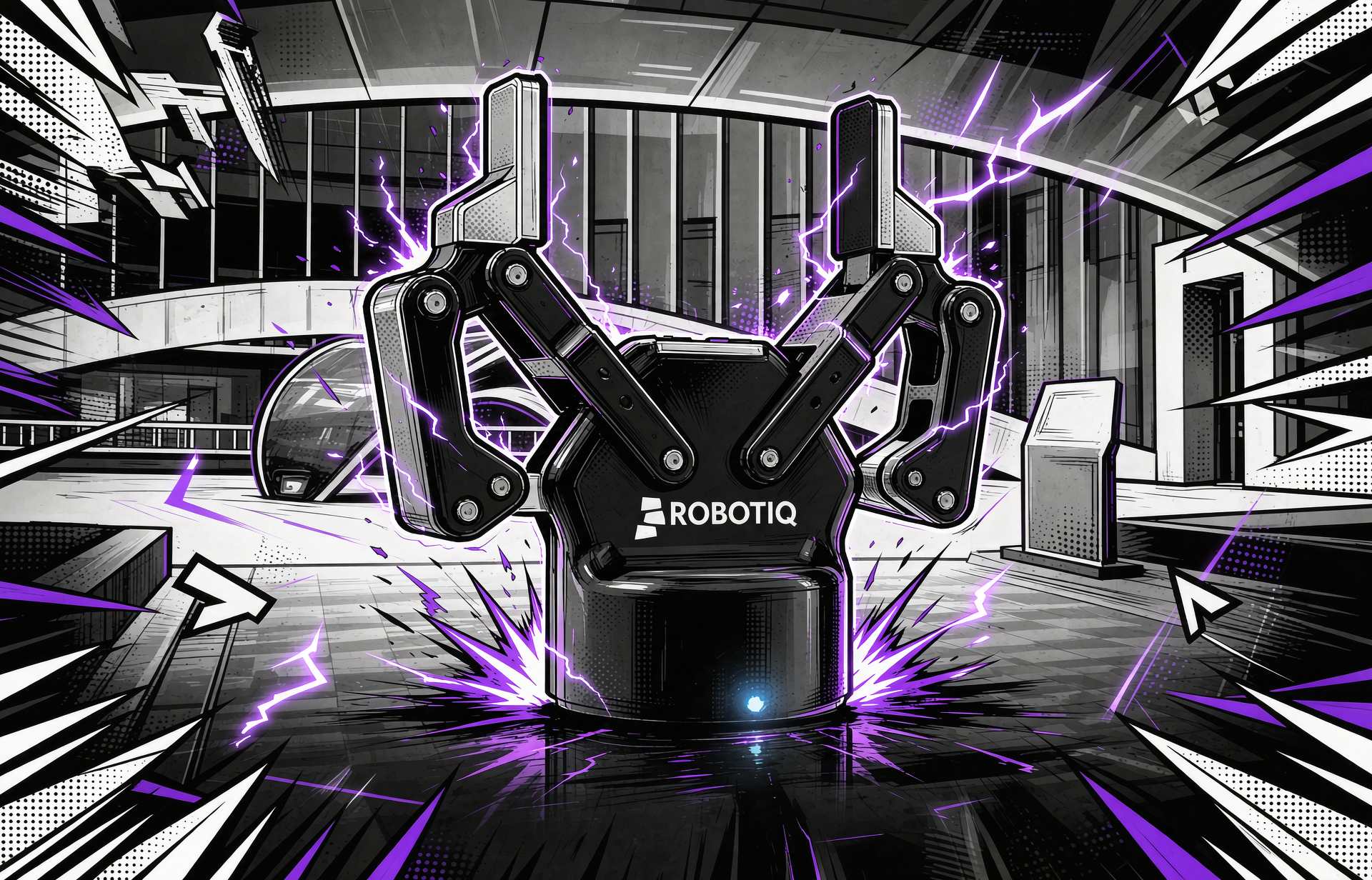
Industrial-Grade End Effectors Like Two-Finger Claw Now Standard in Teaching Robots
The integration of industrial-grade end effectors, such as the Two-Finger Claw, into educational robotics is becoming increasingly common. This trend signifies a shift towards more advanced and capable teaching tools in classrooms, enhancing the learning experience for students. The adoption of these sophisticated robotic components is crucial as it bridg...
Robotics Automation AI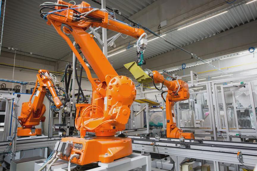
354,000 Chinese Industrial Robots Transforming the Landscape of the 'Four Great Families
A significant development in the robotics sector has emerged, with 354,000 Chinese industrial robots reportedly toppling the city walls of the 'Four Great Families'. This event highlights the rapid advancements in robotics technology and its implications for urban infrastructure. The importance of this transformation lies in the potential for industrial r...
Robotics Automation AI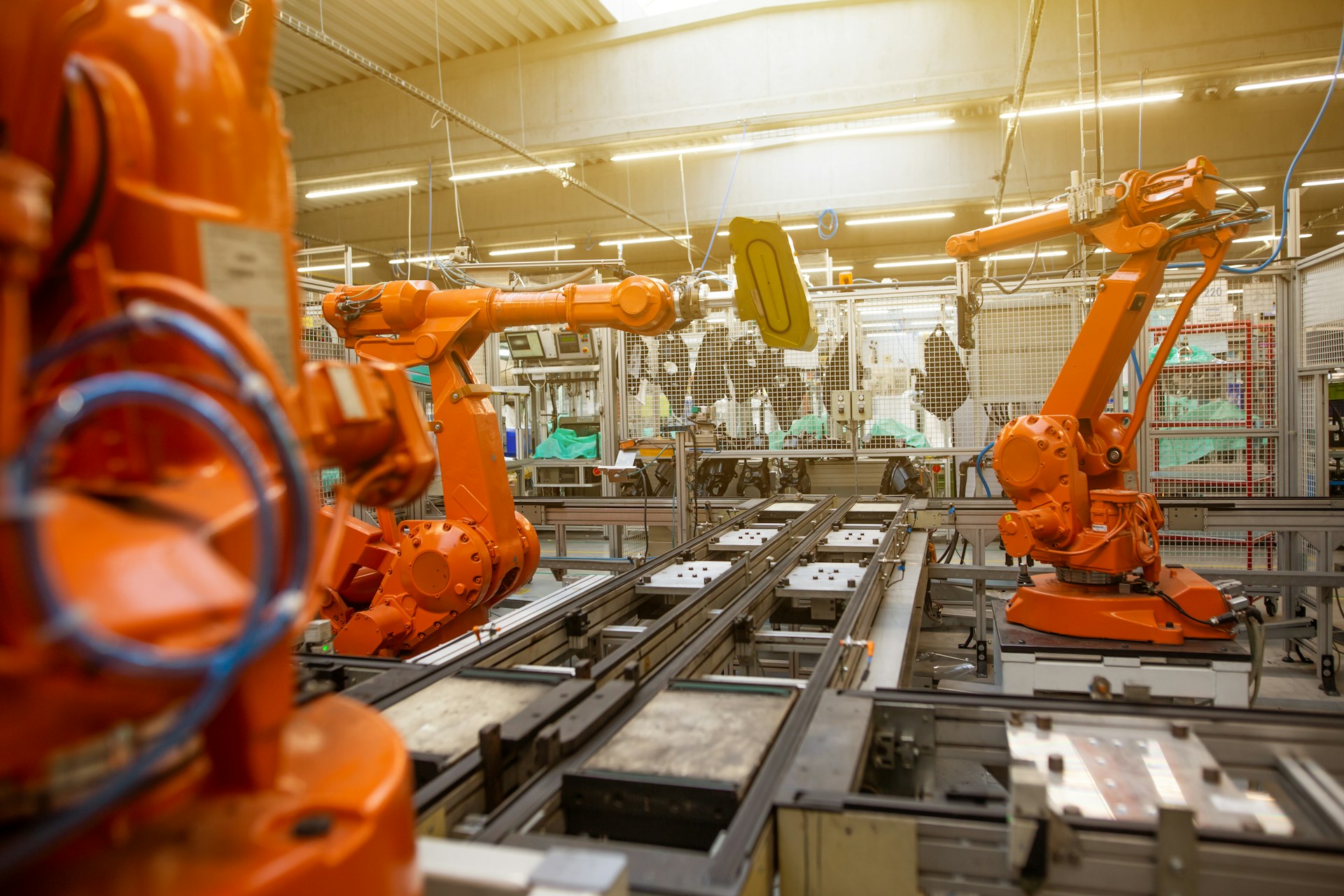
China's Industrial Robot Installations Reached 354,000 in 2025, Dominating Global Market
In 2025, China installed 354,000 industrial robots, marking a 20% increase from the previous year and representing 59% of global installations, as reported by the International Federation of Robotics. This achievement solidifies China's position as the largest industrial-robot market for the second consecutive year. The global operational stock of industr...
News Feed
RobotPlusPlus Enhances Industrial Maintenance with HighMate Series at SMM 2026
RobotPlusPlus showcased its HighMate Series at SMM 2026 in Hamburg, focusing on industrial cleaning and corrosion control. The HighMate AP-F-CO Coating Robot+VOC Recovery System aims to reduce workers' exposure to hazardous tasks at height while enhancing the efficiency and consistency of cleaning and surface treatment processes. This development is signi...

Research Highlights Risks of Smart Systems Including AI, Robotics, and Bioweapons
Recent discussions have highlighted the risks associated with advanced technologies, including industrial robots, drones, and AI systems. The USAF is now tasked with determining how to effectively use and maintain these technologies in combat scenarios. Meanwhile, ANYbotics has developed robot dogs capable of navigating secured facilities while adhering t...
AI and Robotics
RobotToday Weekly September 21 – 25, 2026
Cognex buys RealSense, Qualcomm acquires PickNik, the IFR counts 5 million factory robots, AGIBOT deploys 300 robots at Chimelong, and Tekever raises $580 million.
RobotToday Weekly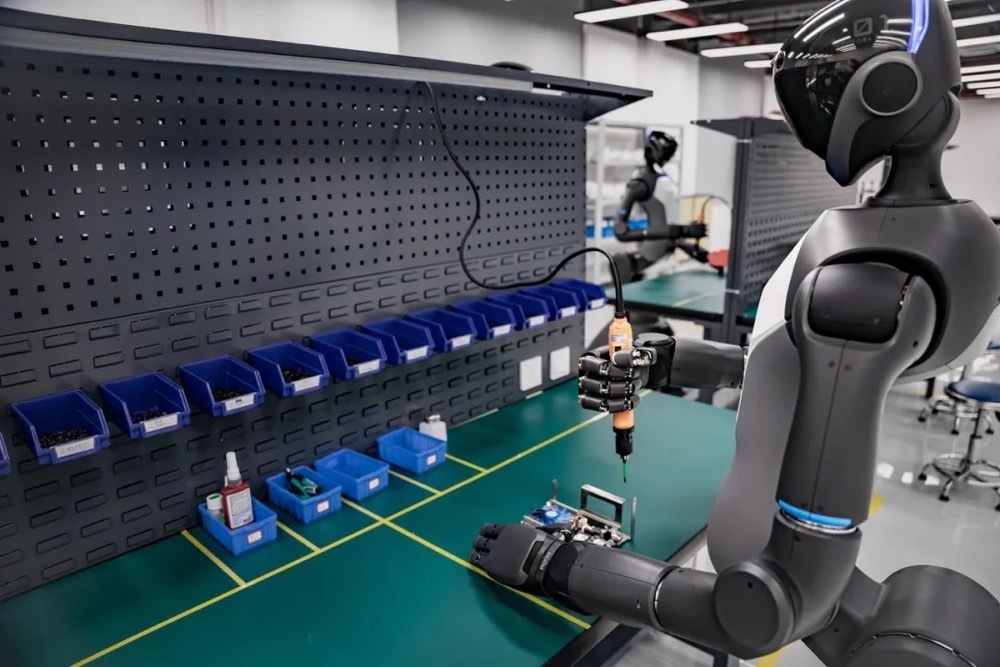
PAL Robotics Unveils TIAGo Pro Arm for Advanced Manipulation and AI Research
PAL Robotics has launched the TIAGo Pro Arm, a standalone robotic manipulation platform designed for researchers in robot learning and physical AI. This new system is being showcased at IROS 2026 in Pittsburgh, running from September 27 to October 1. The arm features seven degrees of freedom and is built on ROS 2 and ros_control, incorporating Series Elas...

Global Industrial Robot Fleet Reaches 5 Million Units Driven by China’s Growth
The International Federation of Robotics (IFR) reported that the global industrial robot fleet hit a record 5 million units in 2025, with over 600,000 new installations that year. China led the growth, contributing 354,000 installations, which accounted for 59% of the global total. The U.S. surpassed Japan to become the second-largest market, with nearly ...
AI AI Funding & Investment Capital Markets
Survey by Plus One Robotics Reveals Americans Favor Human Oversight for Humanoid Robots
A recent survey conducted by Plus One Robotics indicates that Americans prefer humanoid robots to operate under human supervision. The research highlights that as robot autonomy increases, so do expectations for human oversight, especially in safety-sensitive tasks. Notably, 26% of respondents expressed concerns about the lack of human judgment in humanoi...

IonQ to Install 256-Qubit Quantum Computer at Florida International University for Research
IonQ, a US quantum computing company, plans to install a 256-qubit trapped-ion quantum computer at Florida International University (FIU) in Miami by late 2027. This installation will provide researchers and students direct access to IonQ's sixth-generation quantum hardware, marking the first deployment of the Superion 256 system in Florida. The significa...
Science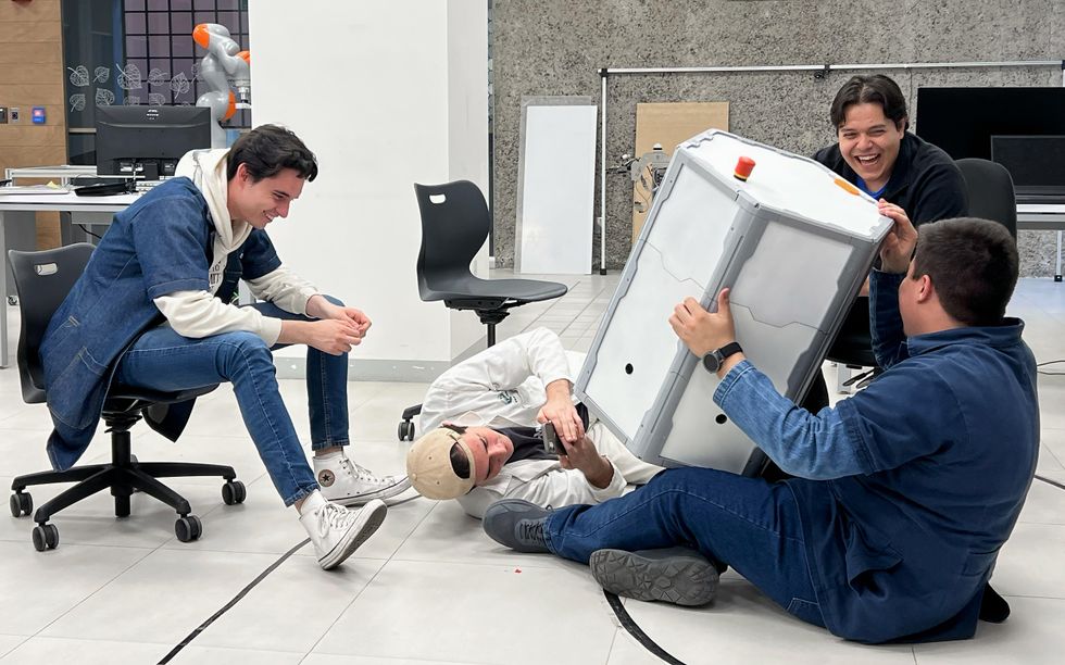
ITESO Team Develops RoboMeshA Portable Educational Platform for Robotics Learning
In Guadalajara, Mexico, a team from ITESO, Universidad Jesuita de Guadalajara, has developed RoboMeshA, a portable educational platform aimed at enhancing robotics and AI learning in high schools lacking advanced tools. This initiative, part of the EPICS in IEEE program, involves 15 engineering students and faculty advisors who designed a self-contained m...
Robotics Ai Type-ti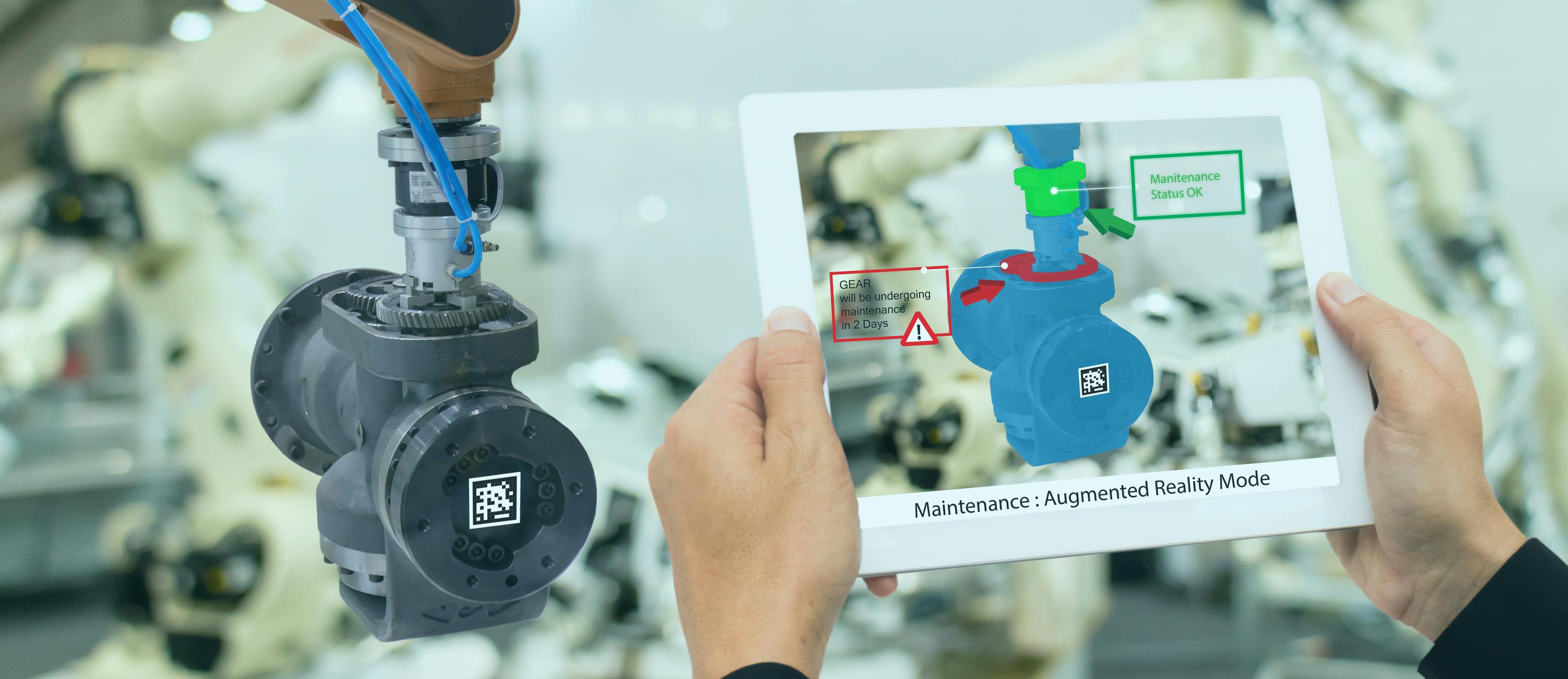
Challenges in Scaling Industrial Augmented Reality Pilots and Recent Developments
A recent exploration into industrial augmented reality (AR) highlighted the challenges faced in scaling pilots beyond initial demonstrations. While the technology proved effective for single high-value assets, transitioning to a fleet of machines revealed significant complexities in preparation and implementation. The initial success of AR pilots often le...
Factory / Digital Transformation
BioRobotics Laboratory, Korea University of Technology and Education
Korea, Republic of (South)
South Korean university research laboratory focusing on haptics, exoskeletons, rehabilitation robotics, and autonomous ground vehicles.

McMaster Manufacturing Research Institute
Canada
Hamilton, Ontario applied manufacturing research center at McMaster University; runs a 21,000 sq ft facility with seven research labs.

Robotics Education & Competition Foundation
United States
The REC Foundation is a US nonprofit that runs VEX-based robotics and drone competitions reaching 1.1 million students across 70 countries.
E-COBOT
France
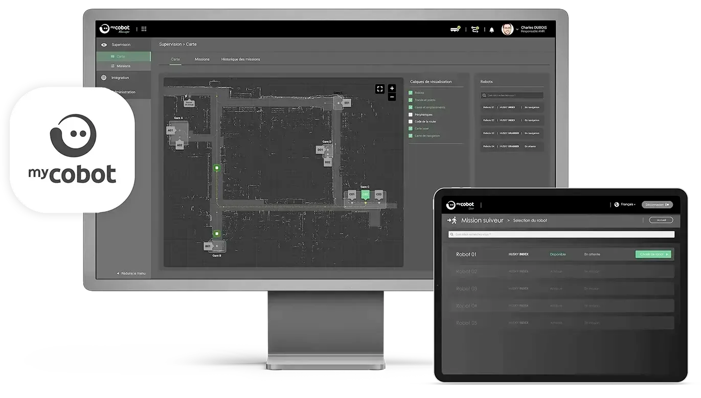
French AMR manufacturer and system integrator offering the HUSKY robot range and MyCobot fleet management software.
EasyMile
France
Toulouse, France autonomous-vehicle software company founded 2014; EZTow and EZDolly systems automate industrial tow tractors and cargo movers at airports.

Filics
Germany
Munich-based robotics startup making ultra-flat omnidirectional AMRs that drive under Euro pallets for space-efficient intralogistics.

ADEK Industrial Computers
United States
US-based industrial PC manufacturer building custom rugged rack-mount, panel, and embedded computers for robotics, SCADA, and HMI applications since 1993.

Aichi Robot Industrial Promotion Council
Japan
Japanese industry council promoting robotics development and diffusion in Aichi Prefecture, one of Japan's largest robot manufacturing hubs.

Arctek Robótica Industrial
Brazil
Brazilian industrial robotics system integrator in Curitiba, Parana, specializing in robotic welding, automated handling, palletizing, and custom automation.

Lantronix
United States
Nasdaq-listed (LTRX) Irvine, California IoT and edge-compute company, founded 1989, now building edge-AI platforms for military drones.
Mitsubishi Motors
Japan
Japanese automaker Mitsubishi Motors signed a July 2026 MOU with Highlanders to mass-produce humanoid robots at its Kyoto Plant from early 2027.

Probot Oy
Finland
Oulu, Finland robotics integrator founded 2006; KUKA System Partner and OMRON Certified Partner; makes Dolly AMR; Finnish distributor of Unitree robot dogs.
Join the RobotToday community on LinkedIn
Daily robotics news, in-depth analysis, conference highlights, and discussions with professionals worldwide.








Leave a comment