

Industry Briefing
A single destination for timely, editor-curated robotics news from around the world.

NOAA Selects Mississippi State University to Lead New Northern Gulf Research Institute
NOAA has appointed Mississippi State University to host the Cooperative Institute in the Gulf of America (CINGA), aimed at enhancing research collaboration on Gulf ecosystems. This initiative builds on a 20-year partnership with NOAA, focusing on science-based decision-making for the northern Gulf region. The establishment of CINGA is significant as it comes with a funding award of up to $100 million over five years, with a potential renewal based on performance. The institute will collaborate with nine partner institutions, leveraging their expertise to improve natural resource management and coastal resilience in the Gulf of America. Looking ahead, CINGA will address major research themes, including advancements in environmental modeling, forecasting capabilities, sustainable development of marine resources, and enhancing data accessibility. No further timeline was disclosed at the time of publication.
noaa mississippi state university northern gulf research institute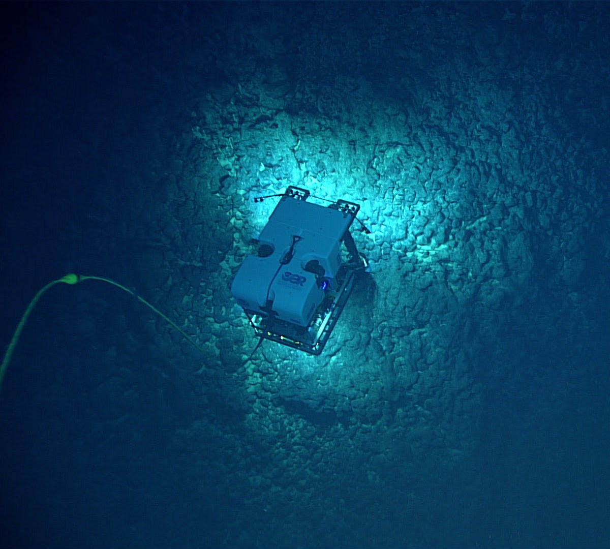
NOAA and Partners to Conduct Expeditions for Deep-Sea Mapping in American Samoa
NOAA Ocean Exploration, alongside its partners, is set to conduct two significant expeditions in the waters surrounding American Samoa during the summer and fall of 2026. These expeditions aim to map and characterize the deep seafloor in a region prioritized for offshore critical mineral exploration, generating publicly available data to enhance understanding of mineral potential and support decision-making. The importance of these expeditions lies in their potential to uncover unknown marine habitats and mineral resources vital for national prosperity and security. NOAA's Principal Deputy Assistant Secretary Erik Noble emphasized the commitment to providing scientific research that supports commerce, while Captain William Mowitt highlighted the need for authoritative science to guide responsible marine resource management. The first expedition will occur from August to September 2026, followed by a second from late September to October 2026, utilizing advanced mapping technology and observational sensors aboard the NOAA Ship Okeanos Explorer. Real-time ROV operations will be streamed online, allowing public engagement and transparency in the exploration process. No further timeline was disclosed at the time of publication.
noaa exploration mapping deep water rov
NOAA Expands Weather Forecasting with Drones from Swiss Company Meteomatics
The National Oceanic and Atmospheric Administration (NOAA) is enhancing its weather forecasting capabilities by integrating drones into its data collection methods. Collaborating with Swiss technology firm Meteomatics, NOAA is currently testing the Meteodrones at a pilot site near the University of Oklahoma. This initiative aims to improve the accuracy and efficiency of weather models, particularly for severe weather warnings. The addition of drones is significant as it addresses the limitations of traditional weather balloons, which are costly and typically used only once. Meteomatics' hexacopters can be operated repeatedly and remotely, allowing for more flexible data collection based on real-time weather conditions. This capability is expected to enhance the precision of weather data, ultimately leading to better forecasting and warning systems for events like tornadoes and hurricanes. As Meteomatics continues to develop its drone operations in the U.S., it has already established a network of drone data-collection sites in Europe. The company’s Meteodrones are designed to withstand challenging weather conditions and are compliant with U.S. government regulations. No further timeline was disclosed at the time of publication.
Drone News Drone News Feeds News Weather atmospheric data drone Brad Guay Meteomatics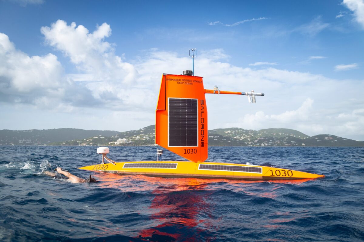
NOAA Sends Autonomous Surface Vehicles Into Hurricanes to Study Rapid Intensification
Saildrone, in collaboration with the National Oceanic and Atmospheric Administration (NOAA), has announced the deployment of 10 unmanned surface vehicles (USVs) during the 2026 hurricane season. This initiative aims to enhance hurricane forecasting and improve models for rapid intensification across the Atlantic basin. The partnership reflects a commitment to advancing storm research and understanding the dynamics of hurricanes, which is crucial for better preparedness and response strategies. By utilizing autonomous technology, the mission seeks to gather critical data that can lead to more accurate predictions and ultimately save lives during severe weather events.
Drone News Drone News Feeds News Research Weather Atlantic hurricane season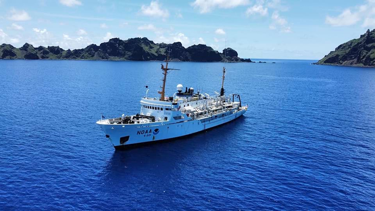
NOAA Ship to Map Potential Critical Mineral Deposits in U.S. Waters of Pacific Ocean
In early April, the NOAA Ship Rainier will embark on a mission to map and characterize over 8,000 square nautical miles of federal waters surrounding Kingman Reef and Palmyra Atoll in the Pacific Ocean. This initiative is part of the U.S. Department of Commerce's efforts to implement the Offshore Critical Minerals Mapping Plan, which aligns with President Trump’s Executive Order 14285 aimed at unlocking America's offshore critical minerals and resources. The project underscores the government's commitment to enhancing understanding of marine resources and promoting sustainable management of these vital areas.
noaa critical mineral deposits subsea mining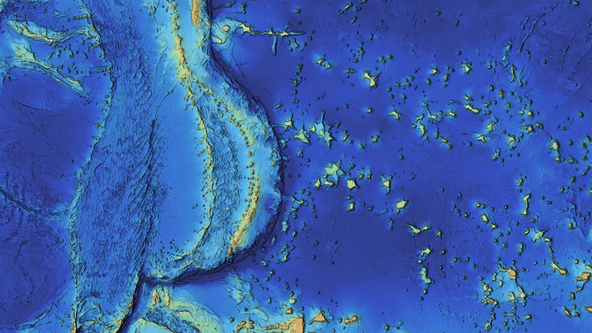
Mapping the Mariana Islands: Saildrone Partners with Woolpert to Survey Critical Maritime Region for NOAA
The Mariana Trench, home to Challenger Deep, the deepest point in the world's oceans at 10,935 meters (35,876 feet), remains one of the least explored and most geologically significant areas on Earth. This underwater marvel, located in the western Pacific Ocean, continues to intrigue scientists and researchers due to its profound depths and unique geological features. Efforts to map and study this region are crucial for understanding oceanic processes and biodiversity, as well as the effects of climate change on deep-sea ecosystems. As exploration technologies advance, researchers aim to uncover the mysteries of the trench and its surrounding islands, shedding light on the fundamental workings of our planet’s oceans.
mapping mariana islands saildrone woolpert survey noaa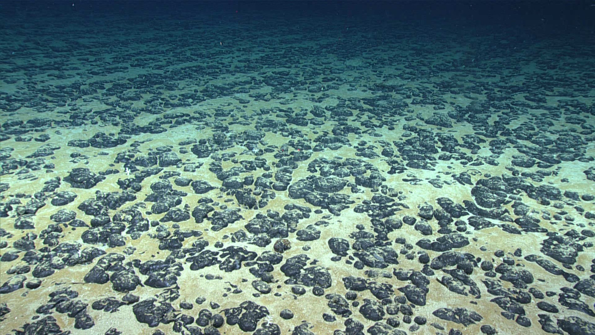
NOAA to Map Critical Mineral Deposits in Deep Waters off American Samoa
The National Oceanic and Atmospheric Administration's National Ocean Service has launched a hydrographic survey project aimed at mapping and characterizing over 30,000 square nautical miles of federal waters off the coast of American Samoa. Announced today, this initiative aligns with the Department of Commerce's efforts to execute the U.S. Offshore Critical Minerals Mapping Plan, which was established under President Trump’s Executive Order 14285. This order seeks to enhance the exploration and utilization of America's offshore critical minerals and resources, highlighting the government's commitment to advancing marine resource management and environmental stewardship. The survey will utilize advanced mapping technologies to gather essential data, which will inform future resource development and conservation strategies in the region.
noaa u.s. offshore critical minerals mapping plan national ocean service subsea mining
NOAA-Led Ocean Mapping Expedition in Cook Islands Hailed as a Resounding Success
The Exploration Vessel Nautilus, operated by the Ocean Exploration Trust, has successfully concluded a pioneering three-week mission to map and explore the Exclusive Economic Zone (EEZ) of the Cook Islands. This initiative, which took place recently, was spearheaded by the National Oceanic and Atmospheric Administration (NOAA) through its Ocean Exploration program, with additional support from a grant provided to the Ocean Exploration Cooperative Institute (OECI). The mission represents a significant advancement in the collaboration between the United States and the Cook Islands, aimed at enhancing marine resource management in the region. By employing advanced mapping technologies and conducting in-depth explorations, the project not only contributes to scientific knowledge but also fosters stronger partnerships in sustainable ocean stewardship.
noaa ocean exploration trust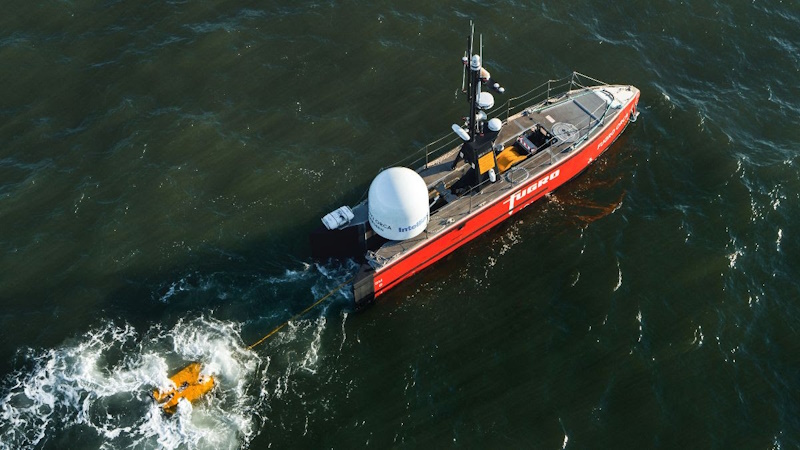
Fugro and NOAA partner to advance remote deep-ocean mapping
Fugro, a leading geotechnical and survey company, has partnered with NOAA Ocean Exploration to establish a five-year Cooperative Research and Development Agreement (CRADA). This collaboration aims to design and implement remote and uncrewed technologies that will enhance deep-ocean mapping and characterization. Announced recently, this public-private partnership seeks to address significant data deficiencies in the deep ocean, one of the planet's least explored regions. By improving access to vital information, the initiative is expected to facilitate informed decision-making regarding offshore energy development, marine resource management, and national security. The deployment of these advanced technologies is anticipated to play a crucial role in advancing our understanding of the deep sea and its resources.
fugro noaa
Fugro Secures New NOAA Contract to Support U.S. Maritime Safety
Fugro has secured a new five-year contract with the National Oceanic and Atmospheric Administration (NOAA) to provide hydrographic survey services, continuing a partnership that spans 25 years. This indefinite delivery/indefinite quantity (IDIQ) contract will enable Fugro to assist in the creation and maintenance of precise nautical charts, which are essential for ensuring safe and efficient navigation in U.S. waters. Under the terms of the contract, NOAA will assign projects to any of the six companies holding an IDIQ contract based on its evolving priorities.
fugro noaa contract u.s. maritime safetyRobotics needs a service framework.
RSF defines a common language for robot service capability, lifecycle operations, certification pathways, and service-provider networks.
Join the RobotToday community on LinkedIn
Daily robotics news, in-depth analysis, conference highlights, and discussions with professionals worldwide.







