

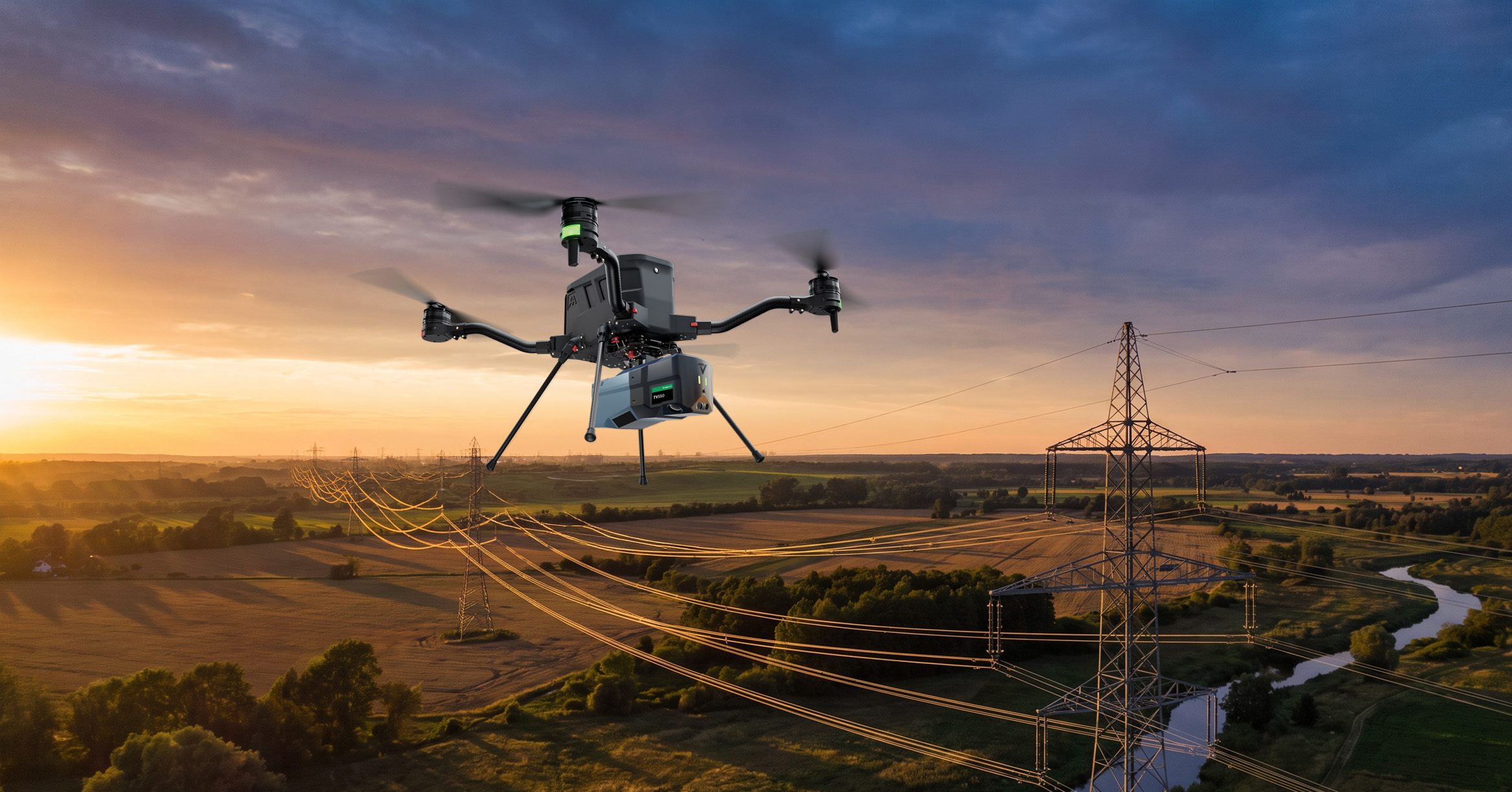
GeoCue has unveiled the TrueView 550 aerial LiDAR system at INTERGEO 2026 in Munich, Germany. This new mapping system enhances GeoCue's existing TrueView 539 and TrueView 540 systems by integrating high-performance LiDAR with dual 20-megapixel mapping cameras, designed for surveying and geospatial applications.
The TrueView 550 aims to deliver performance comparable to higher-end aerial LiDAR systems while maintaining a more accessible price point. It supports ranging distances of up to 2,100 meters and can collect up to one million points per second at a flight altitude of 120 meters. This capability allows operators to efficiently map larger areas and navigate challenging terrains.
Looking ahead, the TrueView 550 offers customers flexibility with options for GNSS-inertial navigation systems, including GeoCue's TrueNav and the Applanix APX-20. This adaptability, along with advanced data processing features, positions the TrueView 550 as a leading choice for various applications, including topographic surveys and infrastructure mapping. No further timeline was disclosed at the time of publication.
Editor's Note
The launch of the TrueView 550 by GeoCue highlights the ongoing evolution in the LiDAR market, where demand for versatile and cost-effective solutions is increasing. As companies seek to enhance their surveying and mapping capabilities, the integration of advanced technologies like dual cameras and GNSS-inertial systems will be crucial for meeting diverse project requirements.
































Leave a comment