Industry Briefing
A single destination for timely, editor-curated robotics news from around the world.
Zing Drone Solutions and NUCODE Collaborate on Compact Drone Remote ID Hardware
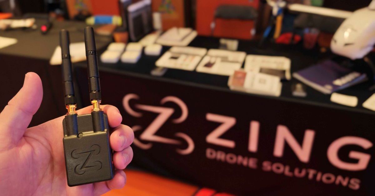
Zing Drone Solutions has partnered with South Korea's NUCODE to explore the development of compact wireless modules for drone identification systems. This collaboration comes in response to increasing demands for Remote ID compliance, which enables authorities to identify drones during flight. Zing has issued a Request for Information to NUCODE, outlining its technical and security requirements, while testing NUCODE's Wi-Fi/Bluetooth Low Energy modules for size, power consumption, and security. The partnership is significant as it addresses the urgent need for drone manufacturers and operators to comply with Remote ID regulations. Ian Annase, CEO of Zing, emphasizes the necessity for a clear path to compliance, while NUCODE's CEO Bruce Lee highlights the importance of small, lightweight, and efficient hardware. The evaluation process includes considerations for supply-chain transparency and security features, which are critical for gaining customer confidence. Looking ahead, the companies are discussing potential development and supply arrangements, with a definitive agreement to finalize the scope and commercial terms. No further timeline was disclosed at the time of publication.
News
Airwise Solutions Partners with UAS Sentry to Enhance Remote ID Detection Capabilities
Airwise Solutions has announced a partnership with UAS Sentry to integrate the Nexus Remote ID detection system with its Nexus platform. This collaboration aims to provide enterprise customers with a comprehensive operational view of both their drone fleets and other Remote ID-equipped drones in their airspace. The integration enhances situational awareness for airports, utilities, and critical infrastructure operators. The significance of this partnership lies in its ability to offer a unified operational picture that includes drone location, pilot position, and other vital data alongside telemetry and weather information. This is crucial for organizations that require insights into the low-altitude airspace, as simply detecting a drone does not provide context about its presence or relevance to ongoing operations. Looking ahead, the integration of UAS Sentry’s detection capabilities into Airwise’s Nexus platform is expected to improve operational awareness for various sectors, including public safety and industrial facilities. No further timeline was disclosed at the time of publication.
News
Dronetag Integrates Remote ID into Airwise Platform for Enhanced Drone Operations
Dronetag and Airwise Solutions have formed a strategic partnership to integrate Dronetag's Remote ID infrastructure into Airwise's airwiseOS platform. This collaboration aims to provide a comprehensive view of low-altitude airspace, enhancing the safety and management of Beyond Visual Line of Sight (BVLOS) operations for various enterprise users, including public safety agencies and critical infrastructure operators. The integration allows operators to access real-time Remote ID data alongside telemetry and sensor inputs within a single dashboard, streamlining the monitoring process. This unified operational environment is particularly beneficial as drone fleets expand and more autonomous missions are conducted, enabling faster decision-making and improved coordination among teams. The integration is now available for Airwise customers using Dronetag transmitters or receivers. Dronetag, which operates the largest commercial drone detection network globally, aims to extend its Remote ID ecosystem into enterprise mission management, while Airwise seeks to support the next generation of autonomous aviation through a unified operational platform.
News
Dronetag Integrates Remote ID Data into Airwise Nexus for Enhanced Airspace Awareness
Dronetag and Airwise Solutions have announced a new integration that incorporates Remote ID data into the Airwise Nexus common operating picture. This partnership aims to provide operators with a comprehensive view of low-altitude airspace activity, enhancing the management of complex drone missions, including beyond visual line of sight (BVLOS) operations. The integration is significant as it combines Dronetag's Remote ID transmitters and receivers with Airwise's drone operations management platform, airwiseOS. This collaboration allows users to access a unified interface that displays Remote ID detections alongside telemetry, radar information, and other sensor data, improving situational awareness and coordination for public safety and critical infrastructure teams. Looking ahead, the integration is available to Airwise customers utilizing Dronetag receivers or transmitters, allowing them to enable the connection through their app account settings. No further timeline was disclosed at the time of publication.
Drone News Drone News Feeds News Remote ID airspace awareness Airwise Solutions
NORINCO Launches Fuxi Humanoid Robot for Remote Operations in Dangerous Environments
On August 19, NORINCO unveiled its full-size humanoid robot, Fuxi, at the 2026 World Robot Conference in Beijing. This robot is designed for remote human control in hazardous areas, utilizing a system that allows operators to replicate their movements in real-time. Fuxi aims to operate in environments where humans cannot or should not go, such as nuclear disaster sites or areas under enemy fire. The significance of Fuxi lies in its advanced capabilities for reconnaissance, intelligent patrolling, and operations in dangerous zones. It can identify personnel and issue alerts, and multiple Fuxi robots can work collaboratively. During the conference, Fuxi demonstrated its ability to perform urban patrols at night, showcasing its practical capabilities in multi-robot management and response. Fuxi is built using entirely domestically developed technology, focusing on human-robot perception and coordination. This development marks a significant step for China in military and special operations robotics, distinguishing itself from consumer and industrial robots. No further timeline was disclosed at the time of publication.
Humanoid Robots Remote Operation Technology Military Robotics Hazardous Environment Robotics
Minerva Humanoids Unveils Roger, a Humanoid Robot for Hazardous Operations
Minerva Humanoids, a San Francisco-based robotics startup, has developed a humanoid robot named Roger in just five months. This semi-autonomous robot enables specialists to remotely manage explosives and hazardous energy tasks while remaining outside danger zones. The robot integrates remote human control with onboard software for balance and navigation, allowing operators to perform complex two-handed tasks through a VR headset. The significance of Roger lies in its ability to enhance safety and efficiency in high-risk environments such as explosive ordnance disposal and hazardous material response. With approximately $10 million in pre-seed funding led by General Catalyst, Minerva aims to further develop Roger ahead of its initial paid pilots scheduled for this fall. The robot's design keeps trained specialists in control while minimizing their exposure to dangerous situations. Looking ahead, Minerva plans to refine Roger's capabilities and expand its applications in various sectors, including offshore oil and gas operations. The company has not disclosed specific figures regarding the robot's payload, battery life, or manipulation accuracy. No further timeline was disclosed at the time of publication.
AI and Robotics
SpaceX's Starmind Plans 1 Million AI Satellites Amid Collision Risks
SpaceX has announced its ambitious Starmind project, which aims to deploy 1 million AI satellites in orbits between 500 and 2,000 km. This initiative, confirmed by Elon Musk on June 23, 2026, follows a merger with xAI, valuing the combined entity at $1.25 trillion. The satellites will function as orbital data centers, processing AI workloads powered by solar arrays and linked by optical lasers. The significance of Starmind lies in its potential to add 100 gigawatts of AI compute capacity annually, contingent on the successful operation of the Starship launch system. However, the project raises concerns regarding space debris, as the current orbital environment is already congested, with a 20% increase in collision risk reported since 2024. The European Space Agency has highlighted that the density of debris in low Earth orbit is now comparable to that of active satellites, complicating the operational landscape for new entrants like Starmind. Looking ahead, the first operational orbital AI deployments are targeted for 2028, with test launches expected in early 2027. However, the project faces scrutiny regarding its impact on space debris, as even a 1% failure rate could significantly increase the number of uncontrollable objects in orbit, exacerbating existing risks. No further timeline was disclosed at the time of publication.

Unidentified Drones Reported Over Diego Garcia, U.S.-U.K. Military Base
Unidentified drones were reported over the Diego Garcia military installation, a strategic U.S.-U.K. base in the Indian Ocean. This base has long been crucial for U.S. military operations, hosting various activities including Space Force operations and serving as a key port for naval vessels. The sightings raise concerns about potential threats to critical infrastructure, especially amid ongoing tensions between the U.S. and Iran. The presence of drones over Diego Garcia highlights the evolving nature of military threats, particularly the risk posed by sea-launched drones. The U.K. Defense Ministry confirmed awareness of the sightings but did not disclose specific details regarding the drones or any defensive measures taken. This situation underscores the importance of maintaining security at military installations, especially those in remote locations like Diego Garcia. As the situation develops, it will be crucial to monitor any further reports regarding the drone sightings and the response from military authorities. The potential implications for operational security and the safety of personnel stationed at Diego Garcia warrant close attention, especially given the base's strategic significance in U.S. military operations.
News & Features Air Air Forces Around The Globe Indo-Pacific Royal Air Force
Inchworm-inspired robot that crawls without rigid parts could enable remote exploration
Researchers at the University of Gothenburg have developed a groundbreaking robot inspired by the movement of an inchworm, which operates without any rigid components. This innovative design allows the robot to mimic the flexing motion of muscles, making it suitable for various applications, including inspecting sewer pipes and exploring Mars. The findings of this research have been shared on the arXiv preprint server, highlighting the potential of soft robotics in diverse environments. The project aims to enhance exploration and inspection capabilities in challenging and confined spaces, showcasing the versatility and adaptability of this new robotic technology.
Robotics
NASA Picks Pierce Aerospace for Bay Area Remote ID Sensor Network
Pierce Aerospace has been selected by NASA to develop a Remote ID network throughout Silicon Valley and the San Francisco Bay Area. This initiative is part of NASA's ongoing research into drones and air taxi technologies, specifically at the Ames Research Center. The project will involve the deployment of YR1 and YR2S sensors, facilitated by Metis Technology Solutions, an Indiana-based firm. The collaboration aims to enhance the safety and efficiency of unmanned aerial systems in urban environments, addressing the growing need for regulatory frameworks as drone usage expands. The timeline for the deployment and operational details has not been disclosed, but the network is expected to play a crucial role in advancing aerial mobility solutions in the region.
Drone News Drone News Feeds infrastructure Networking News Sensors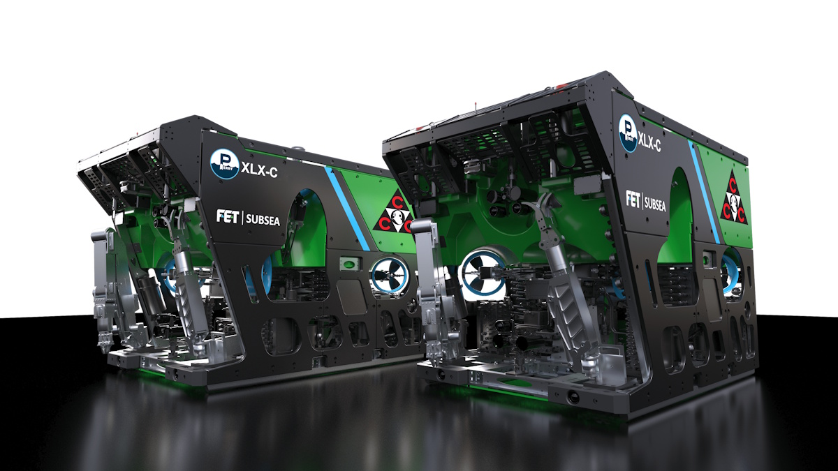
FET to Provide UAE-Based Offshore Construction Firm with Two Work Class Remotely Operated Vehicles
Forum Energy Technologies (FET) has announced that its Subsea product line has been awarded a contract to supply two work class remotely operated vehicles (ROVs) to CCC (Underwater Engineering) S.A.L, a prominent offshore construction company based in the United Arab Emirates. This partnership underscores FET's commitment to enhancing underwater engineering capabilities and supporting CCC (UE) in its ongoing projects. The contract reflects the growing demand for advanced subsea technology in the region, driven by the expanding offshore industry. The ROVs will be utilized for various underwater tasks, showcasing FET's innovative solutions in subsea operations.
fet work class remotely operated vehicles (rov)Robotics needs a service framework.
RSF defines a common language for robot service capability, lifecycle operations, certification pathways, and service-provider networks.
Join the RobotToday community on LinkedIn
Daily robotics news, in-depth analysis, conference highlights, and discussions with professionals worldwide.