

Industry Briefing
A single destination for timely, editor-curated robotics news from around the world.
AEye and AB Swiftstrike AI Collaborate on Long-Range Lidar for Drone Detection
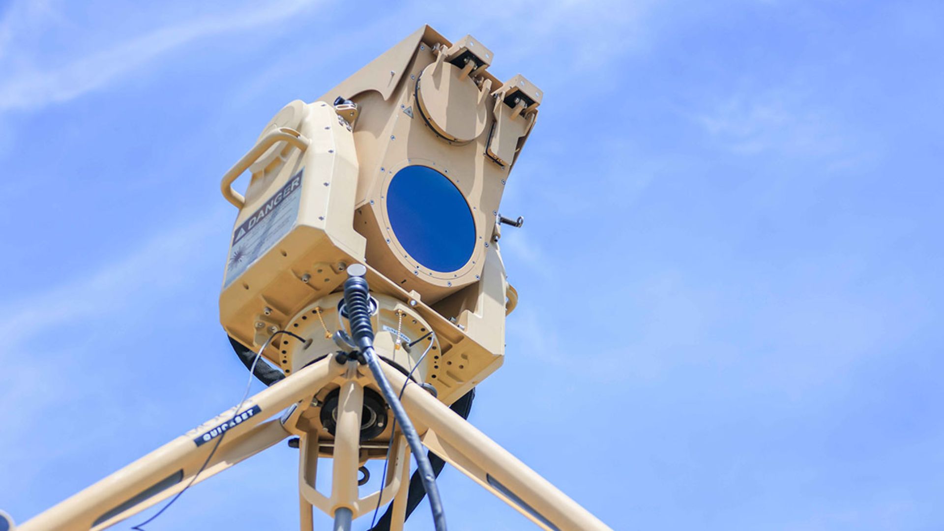
AEye and AB Swiftstrike AI are partnering to integrate AEye's STRATOS lidar into Swiftstrike's autonomous counter-drone systems. This collaboration aims to enhance the detection of small aerial threats that operate without conventional radio signals, extending the detection range to nearly one mile. The integration of STRATOS, which boasts more than double the resolution of AEye's Apollo lidar, is significant for identifying small drones. Higher resolution allows for better differentiation between actual aerial targets and surrounding objects, providing precise information on their position and movement. As drone technology evolves, electronic detection becomes increasingly challenging. The STRATOS sensor's ability to actively measure objects using laser pulses offers a viable solution, even when drones do not emit electronic signatures. No further timeline was disclosed at the time of publication.
Military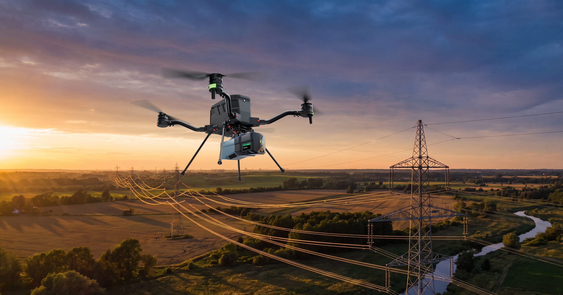
GeoCue Introduces TrueView 550 Aerial LiDAR System at INTERGEO 2026
GeoCue has unveiled the TrueView 550 aerial LiDAR system at INTERGEO 2026 in Munich, Germany. This new mapping system enhances GeoCue's existing TrueView 539 and TrueView 540 systems by integrating high-performance LiDAR with dual 20-megapixel mapping cameras, designed for surveying and geospatial applications. The TrueView 550 aims to deliver performance comparable to higher-end aerial LiDAR systems while maintaining a more accessible price point. It supports ranging distances of up to 2,100 meters and can collect up to one million points per second at a flight altitude of 120 meters. This capability allows operators to efficiently map larger areas and navigate challenging terrains. Looking ahead, the TrueView 550 offers customers flexibility with options for GNSS-inertial navigation systems, including GeoCue's TrueNav and the Applanix APX-20. This adaptability, along with advanced data processing features, positions the TrueView 550 as a leading choice for various applications, including topographic surveys and infrastructure mapping. No further timeline was disclosed at the time of publication.
Applications Cameras Construction Drone News Drone News Feeds Mapping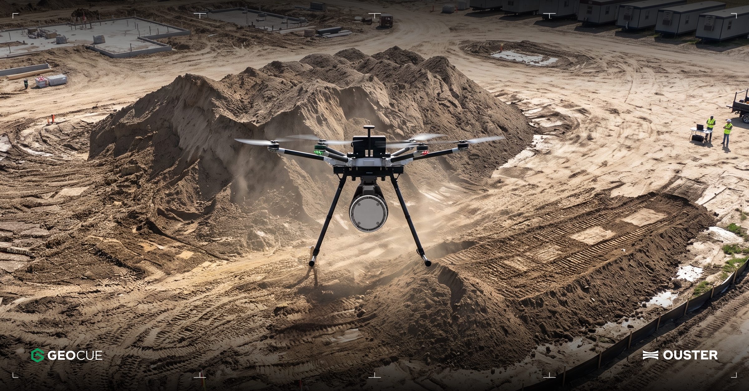
Ouster Partners with Flyability and GeoCue to Enhance Drone Mapping with Lidar Technology
Ouster has announced two significant partnerships aimed at expanding the use of lidar technology in commercial drone operations. The collaboration with Flyability focuses on integrating Ouster's lidar into the Elios 3 drone, which is designed for inspections in confined spaces like mine shafts and wastewater tunnels. Meanwhile, the partnership with GeoCue will see Ouster's Rev8 OS1 Max lidar integrated into TrueView drone mapping systems for utility surveying. These partnerships highlight the growing importance of lidar in enhancing drone capabilities, particularly in challenging environments where traditional GPS and cameras may fail. The Elios 3 drone, equipped with Ouster's compact OS0 lidar, enables real-time localization and collision avoidance, making it suitable for hazardous inspections. Ouster's CEO, Angus Pacala, emphasized the operational value of digital lidar in environments that conventional systems cannot easily access. Looking ahead, Flyability is evaluating Ouster's Rev8 lidar technology for future applications, which promises improved range, resolution, and color data. The companies plan to showcase their advancements at INTERGEO 2026 in Munich, Germany, from September 15-17, demonstrating how lidar is transforming the documentation of complex industrial environments.
Applications Drone News Drone News Feeds Inspection LiDAR News
GeoCue Partners with Ouster to Integrate Rev8 OS1 Max Lidar into TrueView Drone Systems
On September 1, 2026, GeoCue announced a strategic partnership with Ouster to integrate the Rev8 OS1 Max digital lidar into its TrueView product line. This integration aims to enhance utility corridor and large-scale infrastructure mapping across the U.S. The Rev8 OS1 Max sensor is compliant with the Build America, Buy America Act (BABA), which is crucial for federal projects requiring domestic content. The collaboration is significant as it allows GeoCue to provide a high-performance, compliant solution for customers in the utility and infrastructure sectors. The TrueView 1 payloads, combined with the LP360 point-cloud software, will deliver survey-grade data, enhancing the capabilities of drone surveying in critical infrastructure monitoring. Frank Darmayan, CEO of GeoCue, emphasized the importance of American-made technology in this transition. Looking ahead, Ouster will showcase the Rev8 OS1 Max at the Commercial UAV Expo in Las Vegas from September 1-3, 2026. This partnership not only strengthens GeoCue's product offerings but also highlights the growing importance of native color digital lidar in advancing drone mapping technologies and applications in public safety and infrastructure management.
Drone News Drone News Feeds LiDAR Mapping Mapping Technology News
GUSS to Enhance Autonomous Orchard Sprayers with Ouster Rev8 OS0 Lidar Technology
GUSS Automation, a subsidiary of John Deere, is set to integrate Ouster's Rev8 OS0 lidar into its autonomous orchard machines. This advanced 3D sensor enhances navigation and obstacle detection in environments where GPS may be insufficient, particularly in orchards and vineyards. The Rev8 OS0 lidar features a 90-degree vertical field of view and generates up to 10.4 million 3D measurement points per second, with a maximum range of 250 meters. This technology allows for detailed mapping of tree trunks, crop rows, and terrain, improving the machines' operational capabilities in dense vegetation. While the initial application focuses on autonomous spraying, GUSS and Ouster anticipate that this lidar technology could be adapted for other tasks in orchards and vineyards. No timeline for the commercial release of these upgraded machines has been disclosed at this time.
Autonomous/semi-auto steering systems Tech in focus autonomy field robot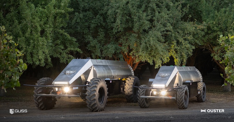
GUSS Automation to Integrate Ouster Lidar in Next-Gen Autonomous Orchard Machines
GUSS Automation, a subsidiary of John Deere, is set to integrate Ouster's Rev8 OS0 lidar sensors into its Autonomous Orchard Machine Fleet. This integration aims to enhance the capabilities of autonomous machines in navigating complex outdoor environments, particularly in high-value crop operations. The significance of this development lies in addressing the navigation challenges faced in dense orchards and vineyards, where traditional GPS systems fall short. By incorporating Ouster's advanced lidar technology, GUSS Automation is enhancing perception capabilities, enabling driverless sprayers to effectively map tree trunks and crop rows with precision. Looking ahead, the integration of Ouster's lidar technology is expected to improve operational reliability in challenging conditions, such as dust and dense vegetation. No further timeline was disclosed at the time of publication.
Agriculture Components News agricultural robots autonomous agriculture autonomous sprayers
The Role of LiDAR in Enhancing Safety for DJI Drones
DJI has integrated LiDAR technology into its latest consumer drones, including the Air 3S, Mavic 4 Pro, Mini 5 Pro, and Neo 2, primarily to enhance flight safety. The Federal Communications Commission (FCC) has proposed new regulations that classify certain foreign-made drones with advanced technologies like LiDAR as 'military-grade,' raising concerns for DJI. LiDAR technology provides a significant advantage over traditional cameras, especially in low-light conditions. While cameras rely on ambient light to detect obstacles, LiDAR emits laser pulses to create a detailed map of the environment, allowing drones to navigate safely even at night. This capability is crucial for preventing crashes and ensuring safe returns during flights. As regulatory scrutiny increases, it will be important to monitor how these proposed rules impact DJI and its use of LiDAR technology. The focus on flight safety rather than military applications may shape future developments in drone technology and regulations. No further timeline was disclosed at the time of publication.
News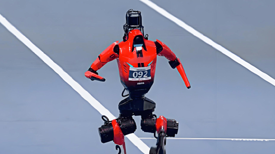
Honor Robot Sets Three Human Records Using Suoteng Lidar Technology
Recently, at the Second World Humanoid Robot Sports Competition, the Honor humanoid robot 'Lightning' broke three records using Suoteng's lidar technology. It completed the 1500 meters, 400 meters, and 100 meters events in 2 minutes 30 seconds, 39.45 seconds, and 9.32 seconds, respectively, surpassing human world records in all three categories. This achievement highlights the capabilities of the 'Lightning' robot, which demonstrates stable perception abilities across different athletic conditions. The Suoteng lidar plays a crucial role in the robot's environmental perception system, continuously gathering three-dimensional spatial information to support high-speed movement and stable operation. As the Honor robot sets these records, Suoteng's robotics business is also accelerating its scale. In the first quarter of 2026, the company sold 185,500 lidar units in the robotics sector, marking a 1458.8% year-on-year increase. The company has established itself as a leader in global 3D lidar shipments for robotics and is poised for further growth with the upcoming mass production of its self-developed SPAD-SoC chips.
Humanoid Robots Lidar Technology Robotics AI Sports Technology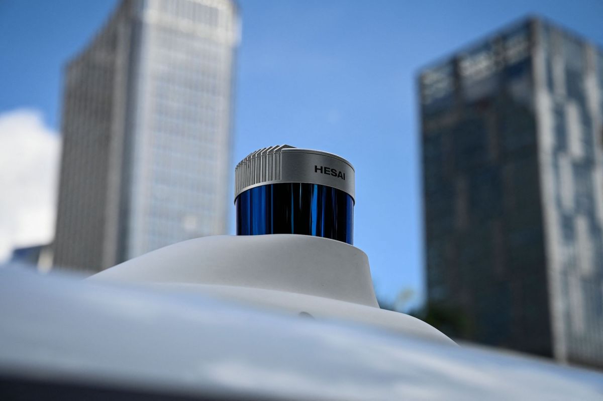
Idaho National Laboratory Investigates Security Risks of Chinese Lidar Sensors
The Idaho National Laboratory is examining potential security risks associated with Chinese lidar sensors that may be used in U.S. vehicles. This investigation is reportedly funded by companies in the electric and autonomous vehicle sectors, although specific contributors remain undisclosed. The review comes amid increasing legislative pressure to restrict the use of Chinese lidar technology due to concerns over espionage and national security. The significance of this investigation lies in the growing apprehension among U.S. lawmakers regarding the implications of Chinese lidar technology on American infrastructure and security. Senator Tammy Baldwin has expressed concerns about the potential for military or industrial espionage, emphasizing the need for protective measures against technologies that could compromise national interests. The scrutiny of Chinese lidar is part of a broader legislative effort to safeguard American communities. Looking ahead, the outcome of the Idaho National Laboratory's review could influence future regulations on lidar technology in the U.S. The investigation is occurring as lawmakers are drafting bills aimed at banning Chinese lidar sensors, reflecting a heightened focus on supply chain risks and the strategic importance of lidar technology as identified by industry experts. No further timeline was disclosed at the time of publication.
Government & Policy Transportation autonomous vehicles avs Exclusive Ford
Fourier Unveils GR-3C Robot with RoboSense LiDAR at WRC 2026
During the 2026 World Robot Conference (WRC), Fourier showcased its third-generation humanoid robot series GR-3 at the Beijing Yichuang International Exhibition Center. The series includes the GR-3, focused on interactive services, and the GR-3C, which emphasizes functional services. The GR-3C 'Astronaut' Ultra version features RoboSense's first hemispherical digital LiDAR, Airy, designed for embodied robots. The Airy LiDAR employs a 'SPAD-SoC+VCSEL' digital chip architecture, providing a compact size similar to a ping pong ball while delivering a 360°×90° ultra-wide field of view, a 60-meter radius coverage, and centimeter-level detection accuracy. This technology allows for flexible integration into various parts of the robot, continuously gathering extensive and precise 3D environmental data, essential for reliable perception and navigation in complex scenarios. At the exhibition, Fourier presented its self-developed 'Embodied Home' technology solution, creating an immersive experience titled 'A Day in the Life of a Robot Butler.' Multiple GR-3 robots acted as intelligent assistants in simulated home environments, responding to natural language commands to autonomously perform tasks such as home security, item delivery, companionship, and guest reception. The interaction evolved from simple command execution to understanding and proactive service for users.
Humanoid Robots LiDAR Technology Robotics AI Home Automation
Tesla Optimus Relies on Cameras and Tactile Sensors, Not LiDAR, in 2026
Tesla's humanoid robot, Optimus, utilizes a vision system comprising eight Autopilot-grade cameras, rejecting LiDAR technology entirely. This approach aligns with Tesla's established philosophy of prioritizing AI over sensor diversity, aiming for a cost-effective solution for a $20,000 robot. The absence of LiDAR is justified by Tesla's focus on architecture reuse and the belief that the challenge lies in AI capabilities rather than sensor limitations. The decision to forgo LiDAR is significant as it reflects Tesla's commitment to a camera-only strategy, which has been consistent since the removal of radar from its vehicles in 2021. Tesla's Autopilot director, Ashok Elluswamy, emphasized the advantages of this approach in a recent demonstration, reinforcing the company's stance on the effectiveness of their vision system. Looking ahead, the industry remains divided on the use of LiDAR, with competitors like Rivian advocating for its inclusion due to perceived limitations of camera systems in low visibility conditions. However, for applications in controlled environments, such as homes or factories, the tactile sensing capabilities of Optimus may prove more beneficial than long-range sensing, highlighting the evolving landscape of robotic perception technologies.

Hesai Group Reports Significant Growth in Robotics Lidar Shipments and Revenue
On August 18, Hesai Group (NASDAQ:HSAI) announced its second quarter earnings, revealing a 22% year-over-year increase in total net revenues to RMB 861 million. Notably, robotics lidar shipments surged by 193.4% to 142,371 units, marking a pivotal moment in the company's transition into robotics. The company also recorded its first commercial revenue from its actuation and spatial intelligence businesses. This growth is significant as it indicates Hesai's commitment to expanding beyond its core automotive lidar market, where it holds a 44% share of China's long-range ADAS lidar segment. The company has secured new design wins with major automotive players, including Volkswagen and Great Wall Motor, which enhances its competitive position. Despite the positive revenue growth, Hesai's gross margin decreased to 40.1%, attributed to a higher contribution from lower-margin products. Looking ahead, Hesai has raised its full-year guidance for its Strategic Growth Initiatives segment to between RMB 200 million and RMB 300 million, with a target of $100 million in revenue by 2027. However, the company faces challenges, including an operating loss in its SGI segment and potential risks from a price war in the lidar industry. No further timeline was disclosed at the time of publication.

Hesai Group Reports Q2 Growth Amid Robotics Expansion Challenges
Hesai Group (NASDAQ:HSAI) announced a second-quarter revenue of RMB860.8 million, a 21.9% increase, with total LiDAR shipments rising 78.4% to 628,275 units. Despite a 60% increase in net income to RMB70.6 million, shares fell 5.3%, highlighting concerns over the company's Strategic Growth Initiatives (SGI), which reported a loss of RMB64.0 million. The profitability of Hesai's LiDAR segment is crucial for financing its robotics ambitions without compromising overall margins. SGI generated its first revenue of RMB44.9 million, primarily from robotic actuation modules, and the company raised its 2026 revenue guidance for SGI from RMB100 million to between RMB200 million and RMB300 million. Management anticipates SGI will approach $100 million in revenue and reach breakeven by 2027. As Hesai Group continues to expand its offerings, including the Kosmo spatial-intelligence platform, it faces the challenge of maintaining profitability amid rising R&D expenses and declining gross margins. The success of its robotics platform will depend on effective commercialization in developing markets, with the potential for a second profit pool if targets are met. No further timeline was disclosed at the time of publication.
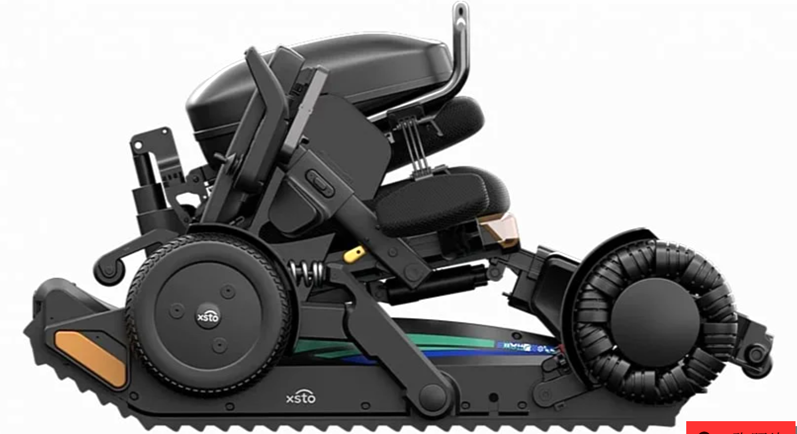
XSTO Mobility Launches $28,000 X12 Stair-Climbing Robot with AI and LiDAR Technology
XSTO Mobility has unveiled the X12 all-terrain mobility robot, priced at $27,999, designed to assist wheelchair users in overcoming stairs and other obstacles. Weighing approximately 115 kg and capable of carrying up to 136 kg, the X12 features a hybrid wheel-track chassis that allows it to navigate stairs autonomously, with a climbing speed of 25 steps per minute and descending speed of 30 steps per minute. The robot utilizes LiDAR and AI algorithms for real-time terrain perception, enabling it to adjust its driving mode and power output dynamically. The introduction of the X12 is significant as it addresses mobility challenges faced by individuals with disabilities, particularly in environments lacking accessibility features. With the ability to climb slopes of up to 40 degrees and traverse gaps of 300 mm, the X12 offers a solution that goes beyond traditional mobility aids. XSTO Mobility, based in Zhongshan, Guangdong, has been developing embodied mobile robots for over a decade, and the X12 represents a substantial advancement in this field, emphasizing user independence and safety. Looking ahead, XSTO Mobility has reported that orders for the X12 are already booked until April 2026, indicating strong market demand. The robot is currently available in over 70 countries, and its innovative design has garnered multiple awards. No further timeline was disclosed at the time of publication regarding additional product releases or enhancements.
Mobility Robots Assistive Technology AI Healthcare Innovation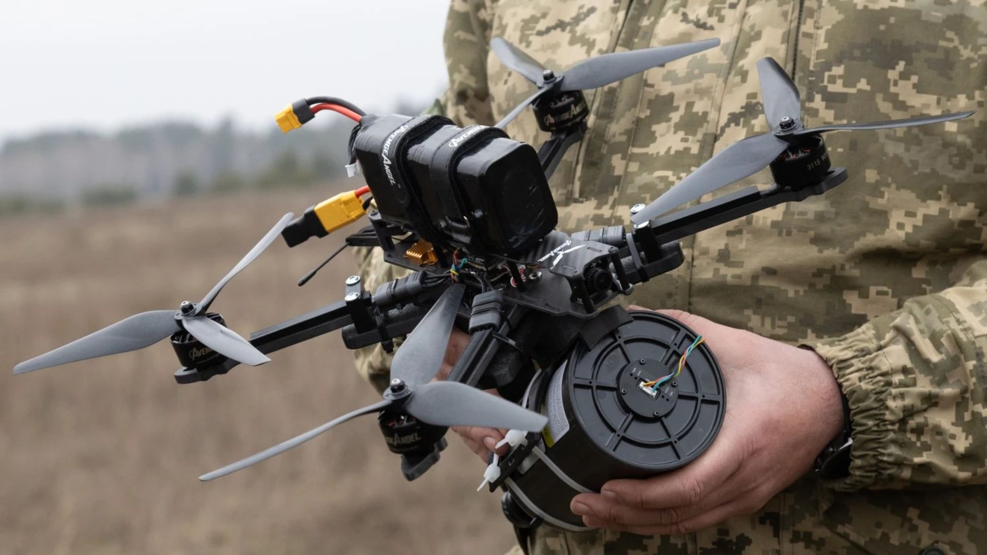
LiDAR expands counter-drone capabilities against fiber-optic-controlled aerial threats
Innoviz Technologies is enhancing its presence in the defense sector by partnering with Regulus, a specialist in counter-drone technology. This collaboration aims to leverage Innoviz's advanced LiDAR solutions to bolster Regulus's capabilities in detecting and neutralizing drone threats. The announcement was made on October 23, 2023, as both companies seek to address the growing concerns surrounding drone-related security challenges. By combining their expertise, Innoviz and Regulus intend to develop innovative solutions that enhance safety and security in various environments, including military and civilian applications. This strategic alliance reflects a broader trend in the defense industry, where companies are increasingly joining forces to tackle emerging threats in an evolving technological landscape.
Military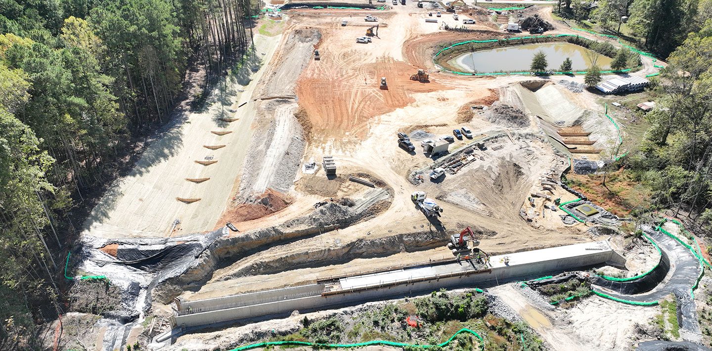
North Carolina Turnpike Authority Uses Drone LiDAR to Improve Oversight on Complete 540 Project
The North Carolina Turnpike Authority (NCTA) is implementing a pilot program that utilizes drone-based LiDAR technology to enhance oversight of the final phase of the Complete 540 project. This initiative aims to provide more accurate tracking of construction progress and improve safety measures on major transportation infrastructure. As construction advances, the use of aerial LiDAR will allow for a detailed assessment of the project, ultimately facilitating better scheduling and oversight. The integration of this technology marks a significant step in modernizing construction management practices in North Carolina.
Applications Construction Drone News Drone News Feeds LiDAR Mapping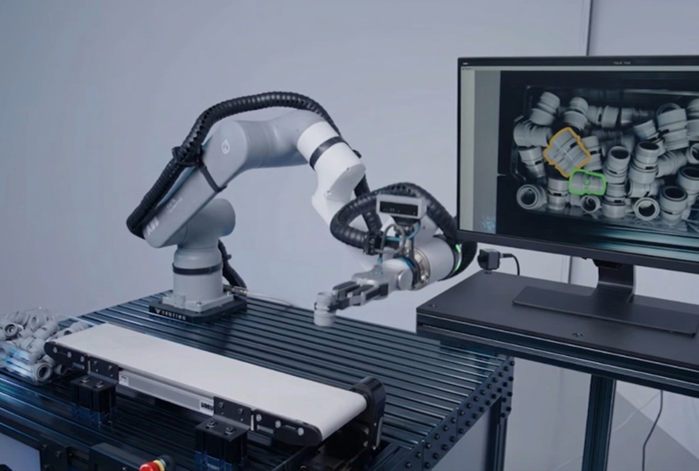
Research on Orchard Navigation Path Planning Based on 3D LiDAR SLAM Considering Terrain Roughness
A recent study published in the Journal of Field Robotics highlights advancements in autonomous robotic systems designed for agricultural applications. Researchers from a consortium of universities and tech companies conducted the study to address the growing need for efficient farming solutions amid rising labor costs and food demand. The research, which began in early 2023, took place across various agricultural sites in California, focusing on the integration of robotics in crop monitoring and harvesting. The team developed a prototype robot equipped with advanced sensors and machine learning algorithms, enabling it to navigate fields and collect data on crop health. This innovation aims to enhance productivity and reduce the reliance on manual labor, which has become increasingly scarce. The researchers conducted extensive field tests to evaluate the robot's performance and adaptability to different farming conditions. The findings suggest that these autonomous systems could significantly improve yield and reduce waste, addressing both economic and environmental challenges in agriculture. The study underscores the potential of robotics to transform traditional farming practices, paving the way for more sustainable and efficient food production methods in the future.
RESEARCH ARTICLE
Thales upgrades its laser guided rocket with new LiDAR sensor to target drones
Thales Belgium has announced the integration of an advanced sensor into its guidance kit, enhancing its targeting capabilities. This new technology activates as the kit approaches its target, improving precision and effectiveness. The development was confirmed by a company official in an interview with Breaking Defense, highlighting Thales Belgium's commitment to advancing military technology. This innovation is expected to bolster the operational efficiency of their defense systems, reflecting the company's ongoing efforts to stay at the forefront of the defense industry.
Global Drones Europe EUROSATORY 2026 guided rocket Middle East
Robots move beyond mapped worlds with advanced lidar sensing
A lidar technology company has partnered with a robotics AI developer to enhance the capabilities of autonomous systems. This collaboration, announced recently, aims to integrate advanced lidar sensing with cutting-edge artificial intelligence to improve navigation and object recognition in various applications, including autonomous vehicles and drones. The partnership is expected to leverage the strengths of both companies, combining precise environmental mapping with intelligent decision-making algorithms. This initiative comes in response to the growing demand for more reliable and efficient autonomous solutions in industries such as transportation and logistics. The companies plan to begin testing their integrated systems in the coming months, with the goal of launching a prototype by early next year.

Fusing LiDAR and vision to generate high-quality reconstructions
In a groundbreaking study published in the May 2026 issue of Science Robotics, researchers have unveiled a new robotic system designed to enhance surgical precision. This innovative technology, developed by a team at a leading university, aims to reduce the risks associated with complex surgical procedures. The research, conducted over the past two years, involved extensive testing and collaboration with medical professionals to ensure the system meets clinical needs. The robotic system employs advanced algorithms and real-time imaging to assist surgeons during operations, allowing for greater accuracy and control. This development comes in response to the increasing demand for minimally invasive surgical techniques that promise quicker recovery times and fewer complications for patients. The team conducted trials in various surgical settings, demonstrating the system's effectiveness in improving outcomes across different types of procedures. By integrating cutting-edge robotics with traditional surgical methods, the researchers hope to set a new standard in the field, ultimately benefiting both surgeons and patients alike. As the medical community continues to explore the potential of robotics in healthcare, this study represents a significant step forward in the quest for safer and more efficient surgical practices. The implications of this research could lead to widespread adoption of robotic assistance in operating rooms around the world, transforming the landscape of surgical care.
Editors' Choice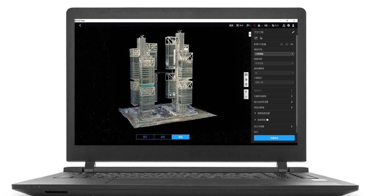
New DJI Terra update fixes annoying LiDAR workflow issues
DJI has announced an update to its enterprise drone software, DJI Terra, with the release of version 5.2.5. This latest iteration, while seemingly modest, aims to resolve several common workflow challenges faced by professional drone operators. The update reflects DJI's ongoing commitment to enhancing its software offerings for enterprise users, ensuring that they can operate more efficiently and effectively in their respective fields. The enhancements are expected to streamline operations and improve user experience, reinforcing DJI's position in the competitive drone software market.
News
Ouster Brings Support for REV8 Digital Lidar to Robotics and Edge AI Ecosystem
Ouster has announced the integration of its Rev8 OS digital lidar technology with the NVIDIA Jetson platform, enhancing the capabilities of the NVIDIA Robotics ecosystem. This development, which aims to introduce native color lidar sensing, is set to advance the field of Physical AI. By leveraging the powerful processing capabilities of the Jetson platform, Ouster's technology will enable more sophisticated and responsive robotic applications. This integration marks a significant step forward in the evolution of robotics, allowing for improved perception and interaction with the physical world. The collaboration is expected to drive innovation and expand the potential uses of lidar in various industries, including autonomous vehicles and smart infrastructure.
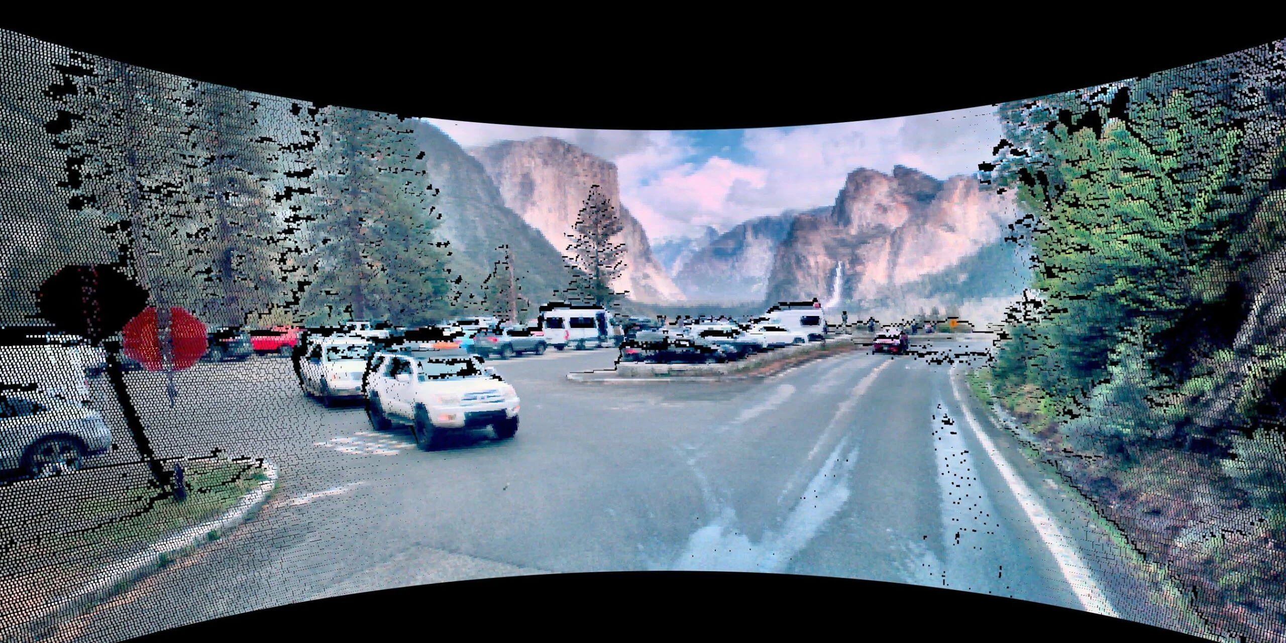
Ouster Releases Family of ‘Native Color Lidar’ Sensors for Robotics, Autonomous Vehicles
Ouster has launched a groundbreaking series of digital lidar sensors, the Rev8 family, which the company claims to be the world's first native color lidar platform. This innovative technology is designed for applications in robotics, autonomous vehicles, and industrial AI systems. The announcement was made recently, showcasing the sensors' capabilities powered by Ouster's advanced L4 Silicon architecture, which enhances their range and performance. This development marks a significant advancement in lidar technology, aiming to meet the growing demand for high-quality sensing solutions in various industries.
AI AI Use Cases Robotics autonomous driving industrial AI LiDAR
Ouster releases REV8 OS sensor family with native-color lidar
Ouster has announced the launch of its new Rev8 OS sensor family, which features the industry's first native color lidar technology. This innovative lineup includes the OS1 Max, which boasts double the range and resolution compared to its predecessor, the Rev7. The introduction of these advanced sensors marks a significant advancement in lidar capabilities, aimed at enhancing various applications in robotics and autonomous vehicles. Ouster's commitment to pushing the boundaries of sensor technology is evident in this latest release, which promises to improve performance and accuracy in real-world scenarios.
Automotive Cameras / Imaging / Vision Mobility / Navigation News Self-Driving Vehicles Sensors / Sensing Systems
Teledyne FLIR Defense Grows Third-Party Payload Integration Program, Adds Emesent Hovermap LiDAR for Unmanned Air, Ground, and Detection Platforms
A newly certified payload is set to enhance the capabilities of drones, robots, and radiation detection systems, facilitating faster deployment of mapping in environments where GPS signals are unavailable. This innovative technology aims to improve the efficiency of fused Chemical, Biological, Radiological, and Nuclear (CBRN) visualizations, which are critical for various applications, including emergency response and environmental monitoring. The certification, achieved in October 2023, underscores the growing importance of advanced technological solutions in navigating complex and hazardous situations. By integrating these systems, operators can obtain real-time data and insights, significantly improving situational awareness and decision-making in challenging scenarios.
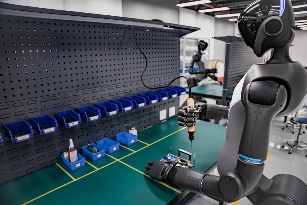
HK‐MEMS, a Multi‐Sensor Data Set With MEMS LiDAR on Degenerate and Dynamic Urban Scenarios
In May 2026, the Journal of Field Robotics published a significant study focusing on advancements in robotic technology. Researchers from various institutions collaborated to explore innovative applications of robotics in field environments, aiming to enhance efficiency and safety in agricultural practices. The study highlights the integration of artificial intelligence and machine learning to improve the decision-making processes of autonomous robots. Conducted in diverse agricultural settings, the research emphasizes the growing need for automation in response to labor shortages and the increasing demand for food production. By employing advanced sensors and data analytics, the robots demonstrated improved performance in tasks such as planting, harvesting, and monitoring crop health. The findings are expected to influence future developments in agricultural robotics, potentially leading to widespread adoption of these technologies in the industry. As the global population continues to rise, the study underscores the importance of leveraging robotics to meet food security challenges while promoting sustainable farming practices.
RESEARCH ARTICLE
DURAL: Degradation‐Resistant Robust Adaptive Localization by LiDAR‐Inertial‐UWB‐Wheel Fusion for Coal Mine Robots
A recent study published in the Journal of Field Robotics highlights advancements in autonomous robotic systems designed for agricultural applications. Conducted by a team of researchers from various universities, the study was released in early October 2023. The research focuses on enhancing the efficiency of crop monitoring and management through the integration of advanced sensors and machine learning algorithms. The motivation behind this study stems from the growing need for sustainable agricultural practices amid increasing global food demands. By employing autonomous robots equipped with state-of-the-art technology, farmers can optimize resource use, reduce labor costs, and improve crop yields. The researchers conducted field tests in diverse agricultural settings to evaluate the robots' performance in real-world conditions. Through rigorous testing and data analysis, the team demonstrated that these robotic systems could significantly improve the accuracy of crop assessments and facilitate timely interventions. The findings suggest that the implementation of such technology could revolutionize traditional farming methods, making them more efficient and environmentally friendly. This innovative approach not only addresses current agricultural challenges but also paves the way for future developments in the field of robotics and sustainable farming practices.
RESEARCH ARTICLE
Hesai secures over $40 million LiDAR order from leading US Robotaxi company
Hesai Technology, a Chinese LiDAR company, has secured a contract exceeding $40 million with a prominent US Robotaxi firm. This agreement designates Hesai as the exclusive supplier of its comprehensive range of long-range and short-range LiDAR products. Deliveries are expected to be finalized by the end of 2026, marking a significant step in the collaboration between the two companies. The partnership aims to enhance the technological capabilities of the Robotaxi service, reflecting the growing demand for advanced sensor technologies in the autonomous vehicle sector.
News Feed
Movin Raises $2.7 Million to Revolutionize Humanoid Robotics with Lidar Motion Capture
South Korean startup Movin has successfully secured $2.7 million in pre-Series A funding to further develop its Lidar-based motion capture technology designed for humanoid robots. The company’s innovative product, Tracin, offers a more affordable solution compared to traditional motion capture systems and has already gained traction among global firms. To bolster its services for game studios and support the growing demand for AI-driven humanoid robotics, Movin is set to establish a new office in Los Angeles.
Movin Byeoli Cho
RoboSense delivers one millionth LiDAR sensor for humanoid robot Qinglong
RoboSense, a leading Chinese robotics company, celebrated a significant milestone on Monday in Shenzhen by producing its one millionth LiDAR (Light Detection and Ranging) unit, becoming the first company globally to achieve this feat. The milestone was marked by the delivery of the one millionth E1R LiDAR to Humanoid Robots (Shanghai) Limited. This achievement underscores RoboSense's commitment to advancing technology in the robotics sector and highlights the growing demand for LiDAR systems in various applications, including autonomous vehicles and robotics. The production of one million units reflects the company's innovative capabilities and its pivotal role in shaping the future of intelligent machines.
News FeedRobotics needs a service framework.
RSF defines a common language for robot service capability, lifecycle operations, certification pathways, and service-provider networks.
Join the RobotToday community on LinkedIn
Daily robotics news, in-depth analysis, conference highlights, and discussions with professionals worldwide.







