

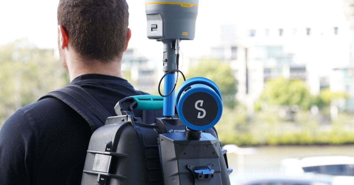
Emesent has announced that its mobile SLAM scanners, the GX1 and Hovermap STX, can now directly send point cloud data into Trimble Connect and Trimble Business Center. This integration, revealed at Intergeo 2026 in Munich, aims to simplify the workflow from field scanning to construction deliverables.
The significance of this development lies in its potential to enhance interoperability for US surveyors, engineers, and construction teams. By allowing point cloud data to transition smoothly into established project workflows, Emesent's technology can reduce the complexity typically associated with mobile LiDAR applications.
Looking ahead, the integration will be showcased at Intergeo 2026 until September 17, highlighting the capabilities of the GX1 and Hovermap STX scanners. No further timeline was disclosed at the time of publication.
Editor's Note
The integration of Emesent's SLAM technology with Trimble's software solutions represents a significant advancement in the geospatial data management landscape. This move could facilitate greater efficiency in project workflows, particularly for professionals in surveying and construction who require accurate and timely data processing.

































Leave a comment