

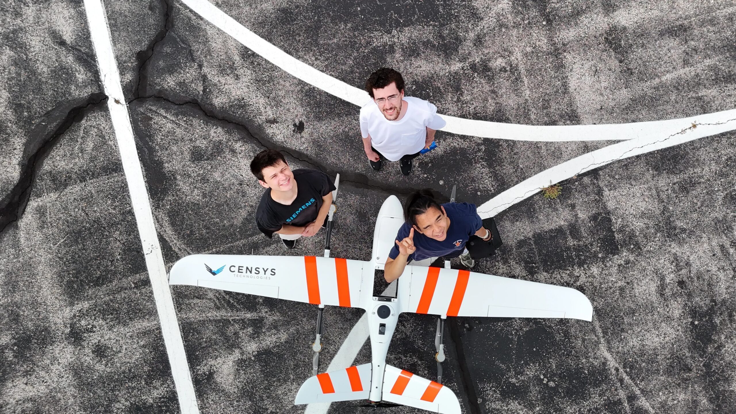
At the upcoming 2026 INTERGEO event in Munich, AIVE Systems will showcase its AI-driven software that simplifies the creation of georeferenced 2D maps from drone imagery. This innovation targets users who require geographic context without needing intricate 3D models, expanding its applications beyond wildfire detection.
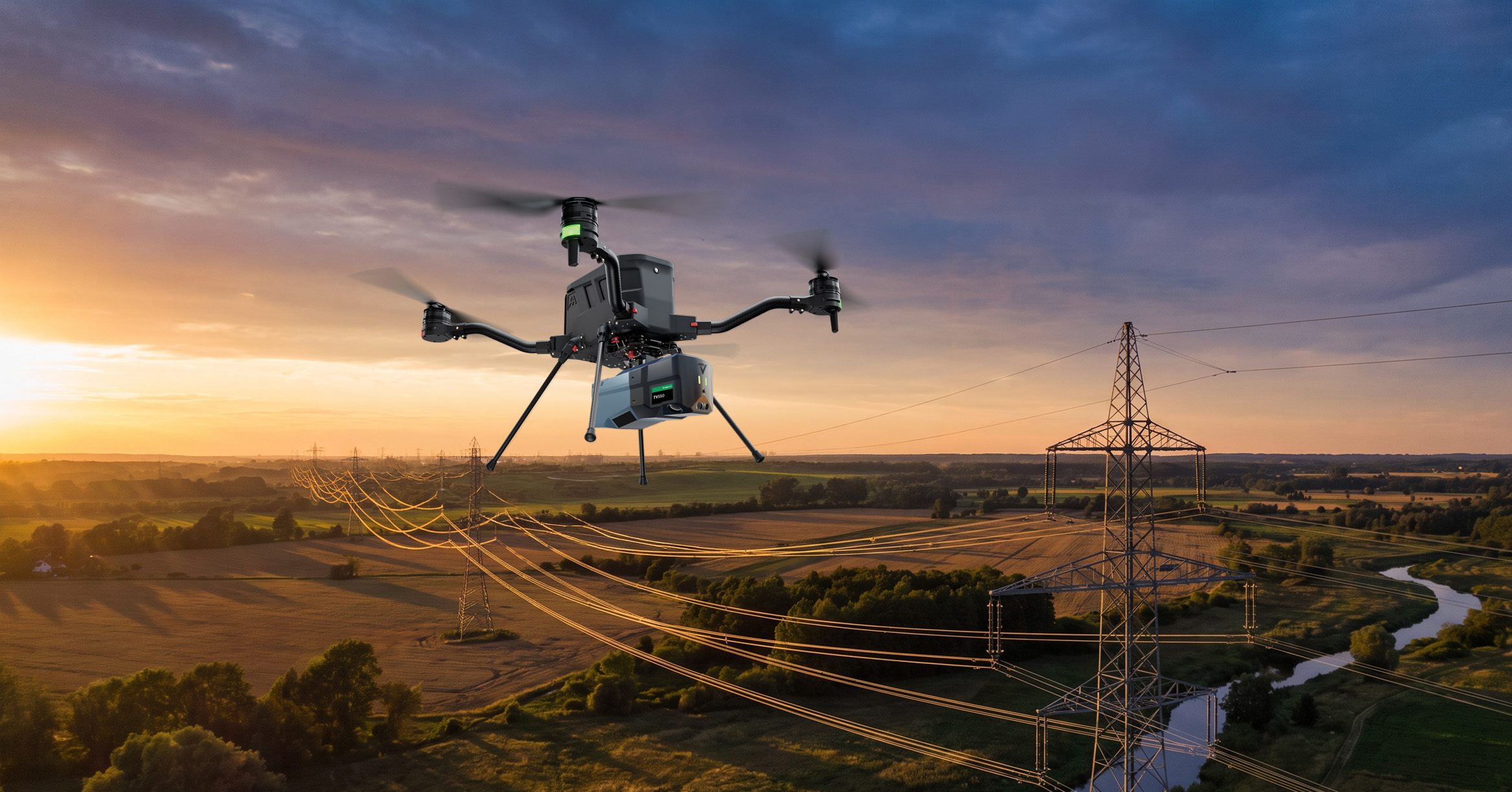
AIVE's technology stems from the FLARE-X project, a collaboration led by The University of Texas at Austin, which focused on autonomous wildfire risk mapping and detection. The software developed by AIVE aims to support various sectors, including infrastructure inspection, public safety, agriculture, and border patrol, by providing essential environmental insights.
The company's initial offerings, Atlas GEO Cloud and Atlas GEO QGIS, utilize fewer images to generate maps, differentiating from traditional methods that rely on precise positioning tools. AIVE's approach automates the mapping process, making it accessible for users without extensive expertise. No further timeline was disclosed at the time of publication.
Editor's Note
AIVE Systems' advancements in geospatial mapping technology highlight a significant shift towards automation in data collection and analysis. This trend is crucial for industries that require rapid and accurate geographic information, as it reduces reliance on traditional, labor-intensive mapping methods. The integration of AI into these workflows could enhance decision-making processes across various sectors.






























Leave a comment