Industry Briefing
A single destination for timely, editor-curated robotics news from around the world.
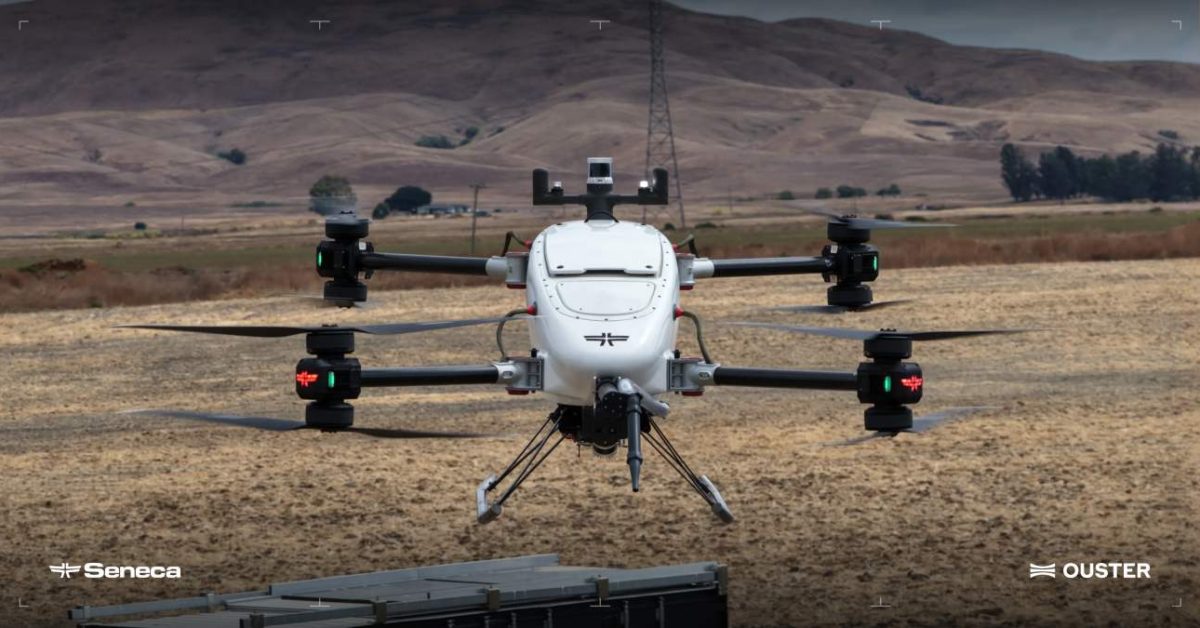
Ouster and Seneca Enhance Wildfire Drones with Advanced 3D LiDAR Technology
Ouster and Seneca have partnered to integrate Ouster’s Rev8 OS1 Max digital LiDAR into Seneca’s autonomous wildfire-response drones. This collaboration aims to enhance the drones' ability to perceive and navigate challenging environments, particularly during wildfires where visibility is often compromised. The integration of LiDAR technology allows Seneca's drones to create detailed 3D representations of their surroundings, improving their operational capabilities in various missions such as cargo delivery, terrain mapping, and infrastructure inspection. The Rev8 OS1 Max sensor, known for its high resolution and range, provides critical information for obstacle detection and flight path adjustments, essential for safe autonomous operations. As the demand for autonomous aircraft in emergency response grows, the partnership underscores the importance of advanced perception systems in ensuring safety and efficiency. No further timeline was disclosed at the time of publication.
News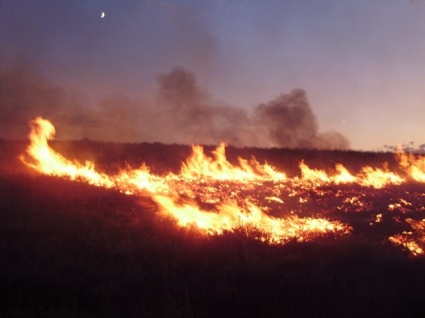
Surge in Drone Incursions Disrupts Aerial Firefighting Operations Amid Wildfire Season
The ongoing severe wildfire season in the western U.S. has led to a significant increase in drone incursions, with 74 incidents reported by the U.S. Wildland Fire Service as of September 1. This marks a rise from 53 incursions in 2025 and 32 in 2024, highlighting a troubling trend in aerial firefighting disruptions. Drone incursions, defined as unauthorized UAS operations interfering with firefighting efforts, have resulted in firefighting aircraft being diverted 78% of the time. Washington state has experienced the majority of these incidents, with 45 incursions reported, particularly affecting urban areas like Spokane, where wildfires have destroyed approximately 650 homes. Looking ahead, federal and state agencies are collaborating to address the rising issue of drone interference. Efforts include public education campaigns and partnerships with law enforcement agencies to enforce regulations. As more individuals gain access to drones, the potential for further incursions remains a concern for firefighting operations across the country.
Disaster Response Drone News Drone News Feeds Fire Fire and Police Firefighter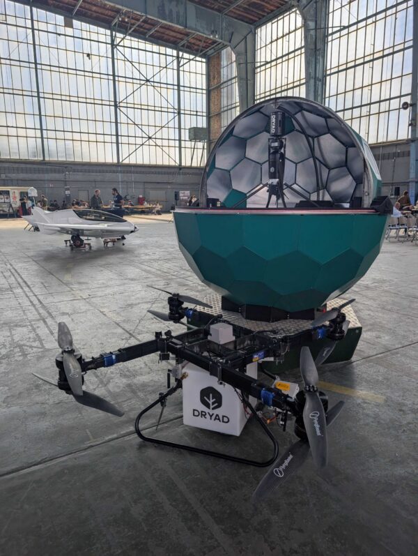
Dryad Networks Secures $800,000 XPRIZE Wildfire Award for Innovative Drone Technology
Dryad Networks, based in Berlin, has been awarded $800,000 in the XPRIZE Wildfire competition for its Silvanet sensor network and Silvaguard drones. These technologies successfully detected, verified, and suppressed target fires during the Autonomous Wildfire Response finals held in Alaska, where Dryad advanced from approximately 300 initial entrants. The significance of this achievement lies in Dryad's demonstration of end-to-end autonomy in wildfire management. The Silvanet network, equipped with 170 sensors, detected fires within 12 minutes, while the Silvaguard drones autonomously responded to suppress the flames. This rapid response is crucial in preventing small ignitions from escalating into larger wildfires, aligning with the XPRIZE Wildfire's goal of extinguishing fires within 10 minutes of ignition. Looking ahead, Dryad Networks plans to invest in the productization of Silvaguard, with operational pilots scheduled for 2027 and commercial availability aimed for 2028. The XPRIZE Wildfire initiative will now enter an Impact Phase to develop durable solutions for real-world wildfire management, highlighting the growing importance of autonomous technologies in public safety.
Drone News Drone News Feeds Fire Fire and Police Firefighter News
Ouster and Seneca Collaborate to Enhance Autonomous Drone Technology for Wildfire Response
Ouster, Inc. has partnered with Seneca to integrate its REV8 OS1 Max native color digital lidar into Seneca's autonomous drone platform. This collaboration aims to improve 3D perception capabilities in drones, enabling safer and faster operations in complex wildfire environments. The integration of Ouster's advanced lidar technology is significant as it enhances the operational efficiency of drones used in wildfire response. This partnership highlights the growing importance of advanced sensing technologies in improving emergency response efforts and mitigating the impacts of wildfires. Looking ahead, the collaboration between Ouster and Seneca may lead to further advancements in drone technology for various applications beyond wildfire response. No further timeline was disclosed at the time of publication.
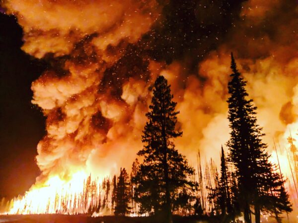
Fire Foresight Secures $500,000 XPRIZE Wildfire Award for Detection Innovation
Fire Foresight, part of the AURA Foresight team, won a $500,000 award in the XPRIZE Wildfire competition for its innovative wildfire detection system. The team successfully demonstrated a 10-minute detection capability during Finals Testing in Alaska, integrating fixed cameras, AI, and drone swarms into a cohesive operational chain. This achievement is significant as it showcases the potential for advanced technology to enhance wildfire response efforts. By combining expertise in swarm robotics and AI with practical field operations, Fire Foresight is paving the way for faster detection and intervention in wildfire scenarios, which is crucial for minimizing damage and protecting communities. Looking ahead, Fire Foresight plans to expand its capabilities through the Tasmanian Integrated Fire Camera Network, aiming to create the largest bushfire detection system in Australia. The team will also pursue deployment projects globally, including initiatives in Africa and partnerships with fire services in the UK, emphasizing the importance of collaboration in wildfire management.
Drone News Drone News Feeds Fire Fire and Police Firefighter News
MVP Robotics Showcases M2P Heavy's Autonomy in Wildfire Vehicle Challenge
MVP Robotics successfully demonstrated the autonomous capabilities of its M2P Heavy, capable of moving up to 800 pounds, during the Autonomous Ground Vehicles Prize Challenge. This event took place at the Beasley Knob Off-Highway Vehicle Trail in Georgia's Chattahoochee-Oconee National Forest, focusing on wildfire response operations. The demonstration is significant as it highlights advancements in heavy-payload autonomous ground operations, which are crucial for effective wildfire management and emergency response. The ability to transport substantial loads autonomously can enhance operational efficiency in challenging terrains, particularly in disaster scenarios. Looking ahead, the performance of the M2P Heavy in such demanding conditions may influence future applications of autonomous vehicles in various sectors, including emergency services and environmental management. No further timeline was disclosed at the time of publication.

General Atomics Unveils Wildfire Drone with 9,200-Mile Range and Anti-Ship Missile Capability
General Atomics Aeronautical Systems Inc. (GA-ASI) has introduced its Wildfire unmanned aircraft, designed as a faster and more cost-effective alternative to the MQ-9A Reaper. The Wildfire aims to fulfill the Pentagon's Massed Modular Aircraft (MMA) program requirements, supporting long-endurance missions and potential civil applications. The significance of the Wildfire lies in its ability to perform reconnaissance and strike missions, traditionally managed by the Reaper, while also being suitable for commercial cargo transport. GA-ASI President David Alexander emphasized the aircraft's design for high-demand missions and cost-conscious customers, highlighting its flexibility and scalability. Looking ahead, the Air Force has set a fiscal 2031 target for the MMA program, with an aim for 20 mission-ready aircraft. GA-ASI asserts that the Wildfire could enter service ahead of schedule and produce more than twice the number of aircraft within the same timeframe, reflecting the military's shift towards lower-cost unmanned systems. No further timeline was disclosed at the time of publication.
Military
General Atomics Introduces 'Wildfire' Drone to Succeed MQ-9A Reaper
General Atomics has unveiled its new drone design, 'Wildfire', aimed at replacing the MQ-9A Reaper. This drone is being pitched for the Massed Modular Aircraft program, which is managed by the Air Force and the Defense Innovation Unit. The introduction of 'Wildfire' is significant as it is designed to exceed the requirements established by the Pentagon for the next generation of military drones. This advancement reflects the ongoing evolution in drone technology and military capabilities, particularly in response to modern warfare demands. Looking ahead, the performance and specifications of 'Wildfire' will be closely monitored as it undergoes evaluation for the Massed Modular Aircraft program. No further timeline was disclosed at the time of publication.
Air Warfare AFA 2026 Air Force collaborative combat aircraft Defense Innovation Unit Drones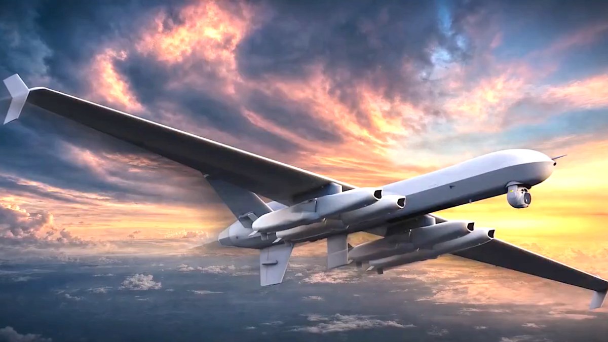
General Atomics Unveils Wildfire Drone as MQ-9 Reaper Successor
General Atomics has introduced its new Wildfire drone design, aimed at fulfilling U.S. Air Force requirements for a cost-effective successor to the MQ-9A Reaper. This medium-altitude, long-endurance (MALE) uncrewed aircraft features a pusher-prop design similar to the Reaper but lacks its distinctive hump, suggesting potential advancements in communication technology. The Wildfire drone is designed to carry four Joint Strike Missile (JSM) cruise missiles, enhancing its capabilities for anti-ship and land-attack missions. General Atomics aims to deliver a platform that not only meets the Air Force's needs but also offers improved performance and affordability compared to the Reaper, which is now out of production. Looking ahead, General Atomics is focused on refining the Wildfire's capabilities, including its range and semi-autonomous control features. No further timeline was disclosed at the time of publication.
Air Air Forces Drones News & Features Q-9 U.S. Air Force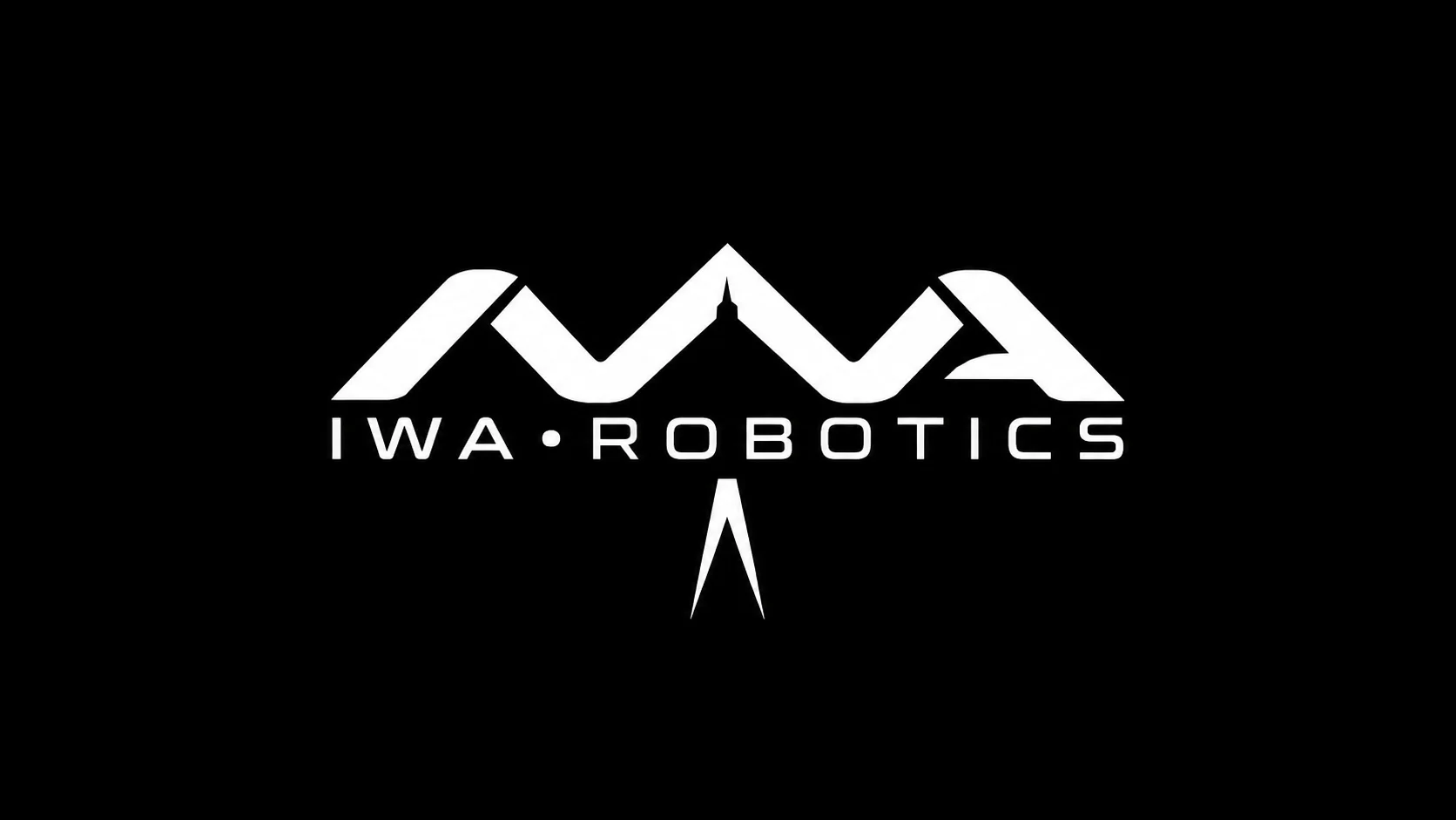
Iwa Robotics Launches Autonomous Drone Fleet for Wildfire Management Solutions
Iwa Robotics has unveiled three autonomous drone platforms aimed at assisting fire departments in detecting, assessing, and suppressing wildfires in both urban and wildland-interface areas. The drones, named Hawk, Canary, and Pelican, are part of Iwa's Discovery and Resolution Fleet, designed to operate collaboratively for enhanced firefighting capabilities. The introduction of these drones is significant as it enhances crew safety and operational efficiency in wildfire management. The Hawk drone specializes in long-endurance reconnaissance, while the Canary drone focuses on sensing and fire diagnostics. The Pelican drone is equipped for aerial suppression, addressing hot spots and establishing fire lines, thereby providing critical support to firefighting teams. Iwa Robotics plans to offer these drones through a fleet-as-a-service model, which includes aircraft, autonomy training, data services, maintenance, and insurance. This approach allows fire agencies to integrate advanced aerial detection and suppression capabilities without the need for upfront equipment purchases. No further timeline was disclosed at the time of publication.
AI AI Funding & Investment AI Use Cases Robotics autonomous drones Iwa Robotics
Unauthorized Drones Disrupt Wildfire Response Efforts in the Northwestern U.S.
Unauthorized drones continue to pose significant challenges to wildfire response efforts in the Northwestern U.S., particularly affecting operations at the Wrights Spring Fire in Oregon. The Northwest Incident Management Team 7 reported five drone incursions over several days, which grounded aerial firefighting operations, including UAVs and Type 1 helicopters. This disruption has serious implications for firefighting effectiveness and safety. The grounding of aerial resources due to unauthorized drone activity has raised concerns among firefighting officials. Cheyne Rossbach, a spokesman for the incident management team, highlighted that these incursions hindered reconnaissance and fire suppression efforts, impacting the safety and efficiency of operations. The Wrights Spring Fire, which has burned approximately 55,500 acres and is 65% contained, has seen about 700 personnel involved in firefighting efforts. Looking ahead, the potential for collisions between drones and manned aircraft remains a critical concern. Officials emphasize the importance of public awareness regarding temporary flight restrictions in disaster areas. As the wildfire season progresses, monitoring drone activity will be crucial to ensure the safety of firefighting operations and prevent further disruptions.
Drone News Drone News Feeds FAA Fire and Police Firefighter News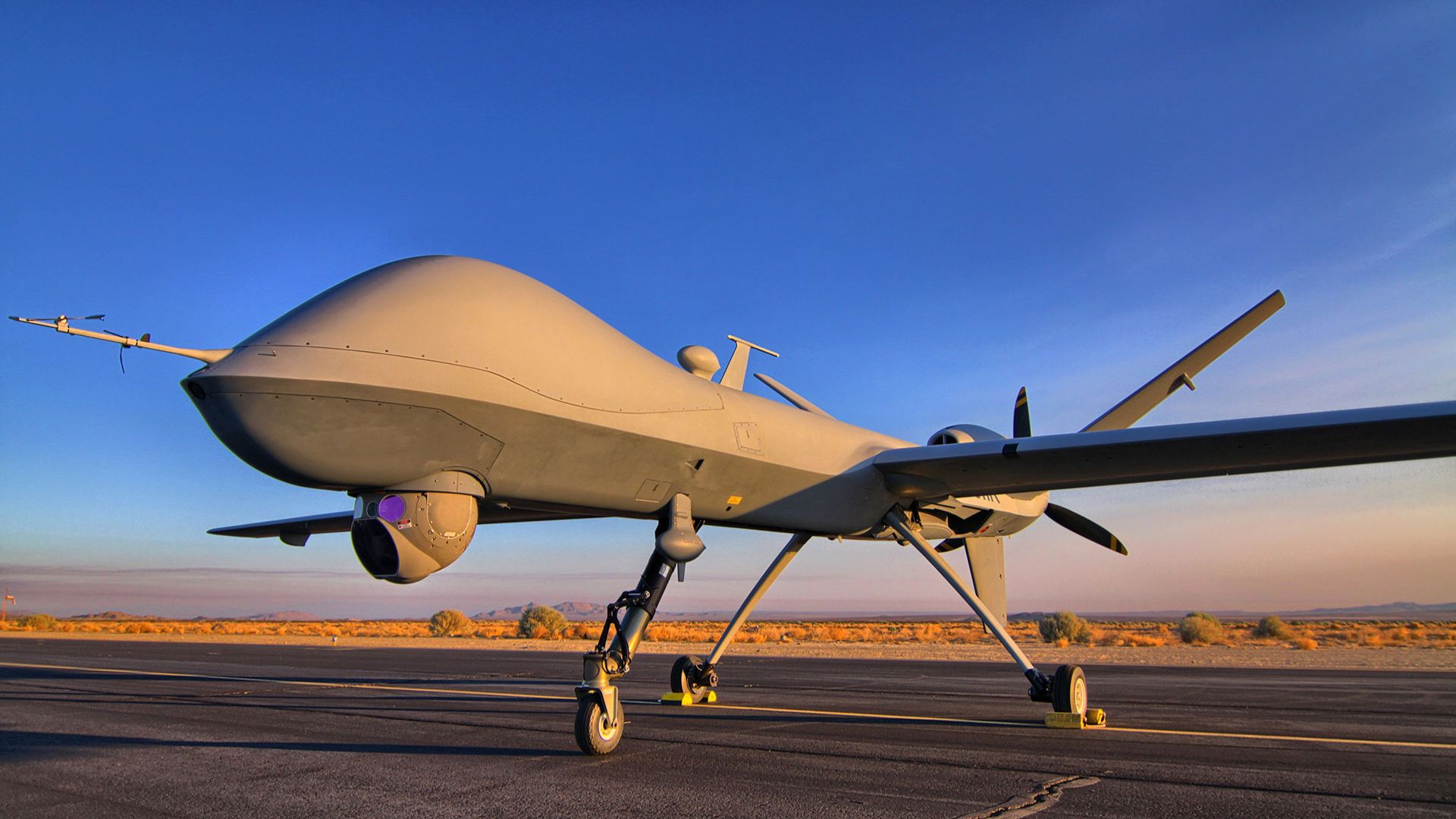
General Atomics Introduces Wildfire Drone with 11,500-Mile Range and Anti-Ship Missile Capability
General Atomics has announced the Wildfire, a new long-range unmanned aircraft concept designed to meet modern drone warfare demands and potentially succeed the MQ-9 Reaper. This Unmanned Aerial System (UAS) aims to fulfill the Pentagon's requirements for medium-altitude, long-endurance aircraft capable of intelligence, surveillance, reconnaissance, and strike missions. The Wildfire is being developed with a 10,000-nautical-mile ferry range and the capacity to carry up to four AGM-158C Long Range Anti-Ship Missiles (LRASM). It is also designed to coordinate swarms of up to 100 aircraft under semi-autonomous control, addressing the Pentagon's evolving airpower strategy that anticipates losses in high-end conflicts. The Pentagon's Massed Modular Aircraft (MMA) program seeks cost-effective, modular unmanned aircraft capable of operating in significant numbers. General Atomics aims to meet these requirements, with prototype flight testing expected to begin within 21 months of contract award, targeting initial operational capability by fiscal year 2031.
Military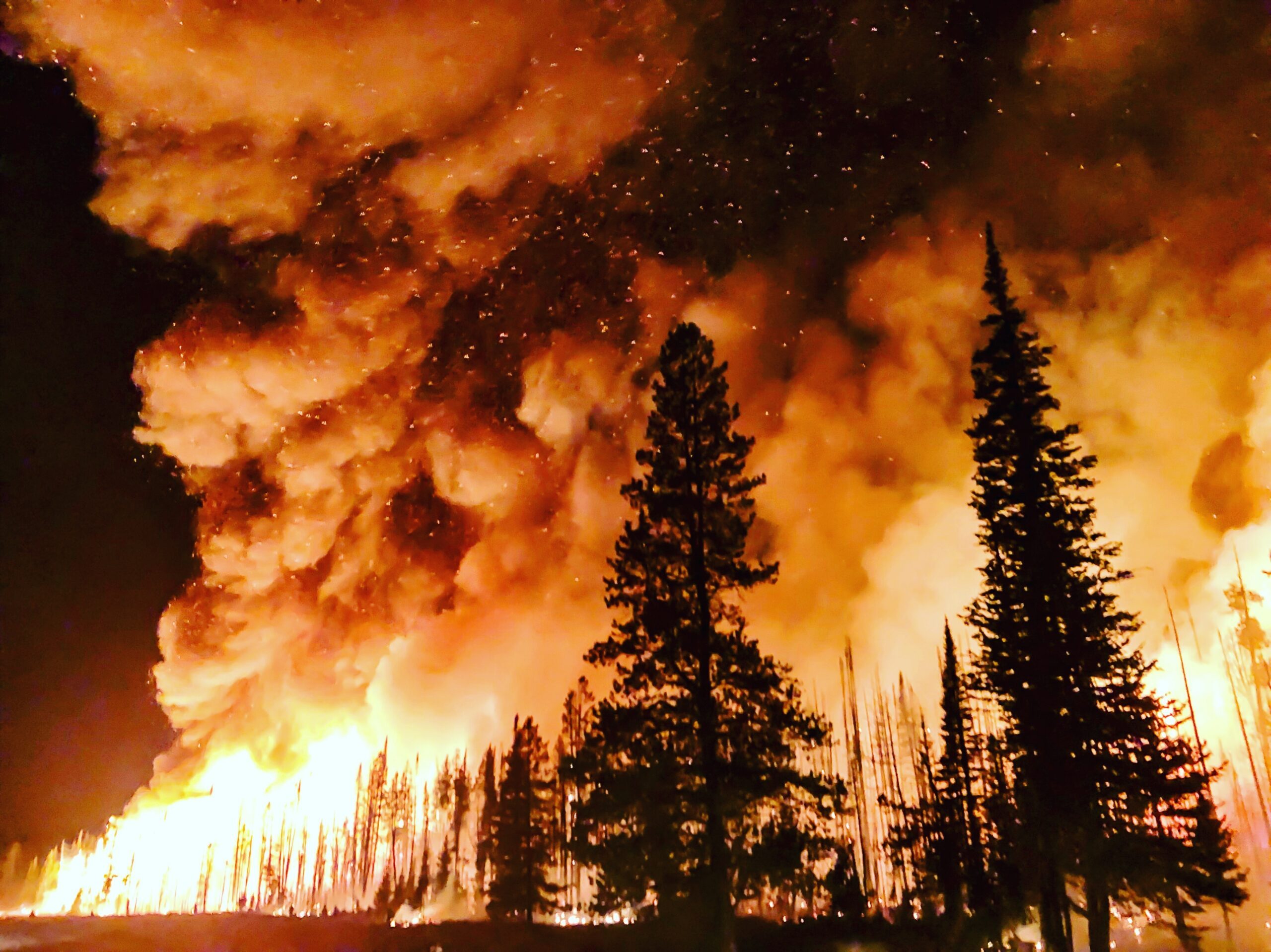
Response to Drone Overflights During Spokane Wildfires Disrupts Firefighting Efforts
Federal and local officials have condemned drone overflights during recent wildfires in eastern Washington, which led to the temporary grounding of firefighting aircraft. The wildfires, which affected Spokane, resulted in the destruction of approximately 800 buildings and the evacuation of tens of thousands of residents. In response, the FAA issued a temporary flight restriction from August 2 to August 15, limiting airspace up to 7,000 feet MSL. The presence of unauthorized drones in the restricted airspace raised significant concerns for firefighting operations. Phil Randolph, a supervisory special agent with the FBI’s Seattle office, highlighted the potential impact on firefighting efforts, questioning whether the grounding of aircraft delayed critical operations that could have saved neighborhoods. The FBI Counter-UAS Task Force, which includes local law enforcement agencies, was deployed to monitor the situation and mitigate risks associated with drone activity. On August 2, the Task Force detected 26 unauthorized drones, followed by an additional 13 the next day, prompting the grounding of firefighting aircraft due to safety concerns. Although no arrests were made, the Task Force collected pilot information for potential FAA investigation. The ongoing situation underscores the need for stricter enforcement of airspace regulations during emergencies.
Anti-drone technology Drone News Drone News Feeds Drones in the News emergency response Fire and Police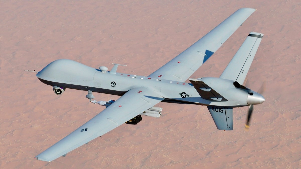
General Atomics Introduces Wildfire Drone as Successor to MQ-9 Reaper
General Atomics has announced the Wildfire Unmanned Aerial System, a next-generation medium-altitude, long-endurance drone. This development aligns with the Pentagon's need for a modular and cost-effective successor to the MQ-9 Reaper, which has faced significant operational losses in recent conflicts. The Wildfire aims to enhance capabilities in high-risk environments, addressing concerns about the dwindling MQ-9 fleet and its performance against peer threats like China. The introduction of the Wildfire is significant as it represents a shift in military strategy towards more adaptable and affordable unmanned systems. The Pentagon's Defense Innovation Unit has initiated the Massed Modular Aircraft program to explore options for replacing the Reaper, emphasizing the need for a flexible, risk-tolerant aerial solution. This change reflects the evolving dynamics of modern warfare, where traditional high-value aircraft may no longer be sustainable in high-end conflicts. Looking ahead, the focus will be on the development and deployment of the Wildfire UAS and its integration into military operations. General Atomics is committed to advancing this technology, with ambitions for extensive production to meet the demands of modern warfare. No further timeline was disclosed at the time of publication.
Air Air Forces Drones News & Features U.S. Air Force Unmanned
Astronauts Capture Wildfire Smoke Over Mount Rainier and Mount Hood from ISS
Astronauts aboard the International Space Station recently photographed Mount Rainier enveloped in smoke from wildfires affecting the Pacific Northwest. As of August 12, over 84,000 acres have burned in Washington and Oregon, marking the worst fire season in over 30 years. The smoke has created unhealthy air quality levels and forced evacuations, with over 2.7 million acres burned across North America by mid-August. The significance of these wildfires extends beyond immediate dangers, as they highlight the increasing impact of climate change on fire frequency and intensity. The images captured from space provide a unique perspective that can aid in understanding and combating wildfires on Earth. The National Interagency Fire Center has warned of a higher-than-normal risk for continued wildfires throughout August. Looking ahead, the ongoing situation requires close monitoring as the region grapples with numerous uncontained wildfires. The use of satellite imagery will be crucial in supporting firefighting efforts and understanding the broader implications of these environmental challenges. No further timeline was disclosed at the time of publication.
Earth Astronomy Solar System
XGBoost and SHAP Framework Analyzes Wildfire Susceptibility in Antalya Region
A recent study utilized an XGBoost and SHAP framework to map wildfire susceptibility in Antalya, revealing significant insights into the factors influencing fire risks. The analysis highlighted that human-related factors play an increasingly critical role in areas where urban and wildland interfaces intersect. Understanding wildfire susceptibility is essential for effective risk management and resource allocation, especially in regions like Antalya that face unique environmental challenges. The findings underscore the importance of considering human impacts when developing strategies to mitigate wildfire risks in vulnerable areas. Looking ahead, stakeholders should monitor how urban development and human activities continue to influence wildfire susceptibility in Antalya and similar regions. No further timeline was disclosed at the time of publication.

BRINC Enhances LiveOps with Real-Time Wildfire and Smoke Tracking Features
BRINC has introduced two new map layers to its LiveOps platform, providing real-time wildfire and smoke tracking for public safety agencies. Launched on August 7, this feature allows users to access critical information without switching applications, streamlining operations during wildfire responses. The integration of fire detection and smoke condition data from the National Oceanic and Atmospheric Administration (NOAA) aims to enhance situational awareness for fire departments and emergency managers. By displaying this information directly on the existing drone operations map, BRINC facilitates quicker decision-making in challenging conditions, particularly when visibility is compromised. As wildfire response becomes increasingly complex, BRINC's initiative reflects a broader trend towards consolidating operational data. The company aims to transform LiveOps into a comprehensive operational tool, integrating various data sources to support over 1,000 public safety agencies and 20% of US SWAT teams. No further timeline was disclosed at the time of publication.
News
BRINC Enhances LiveOps with Wildfire and Smoke Tracking Features for Drones
BRINC has introduced wildfire and smoke tracking capabilities to its LiveOps platform, enhancing support for public safety agencies during fire responses. Announced on August 10, the new features include two map layers that display active fire detections and current smoke conditions, available to all customers at no extra cost since August 7. This integration utilizes data from the National Oceanic and Atmospheric Administration (NOAA). The addition of these features is significant as it provides responders with a comprehensive operational overview without the need to switch between different systems. Fire departments and emergency managers can utilize this information to coordinate wildfire responses effectively, while law enforcement can monitor smoke conditions that may hinder visibility in affected areas. BRINC's CEO, Blake Resnick, emphasized the importance of streamlining information access for agencies stretched thin during wildfire incidents. Looking ahead, BRINC continues to focus on integrating various public safety data sources into its LiveOps platform. The company has previously responded to customer feedback by incorporating features like live traffic information from Google Maps. No further timeline was disclosed at the time of publication.
Applications Drone News Drone News Feeds emergency response Featured – Safety and Security Fire and Police
Northeastern University Develops Cryogenic Robot to Combat Wildfires Using Liquid Nitrogen
Yiannis Levendis, a professor at Northeastern University, has created a robotic firefighting prototype that utilizes liquid nitrogen to extinguish wildfires effectively and environmentally safely. This innovation aims to protect human firefighters from extreme danger, as deploying autonomous or remote-controlled robots is preferable to risking lives in hazardous conditions. The significance of this development is underscored by the alarming statistics of wildfires, with over 5.13 million acres burned in the United States in 2025 alone. Traditional firefighting methods often involve large quantities of water or chemical retardants, which can harm aquatic ecosystems. In contrast, liquid nitrogen offers a solution that not only extinguishes fires but does so without leaving harmful residues. Looking ahead, the focus will be on refining the delivery mechanism for this cryogenic fire suppression technology to ensure it can be deployed effectively in the field. No further timeline was disclosed at the time of publication.
AI and Robotics
Northeastern University Professor Develops Robot to Combat Wildfires Using Cryogenic Spray
Yiannis Levendis, a professor at Northeastern University, has developed a robot capable of extinguishing wildfires using a cryogenic spray. This innovative approach aims to provide an effective solution to the increasing threat of wildfires, which have become more frequent and severe due to climate change. The robot's unique technology could revolutionize firefighting methods, offering a safer and more efficient way to manage wildfires. The significance of this development lies in its potential to address the growing challenges posed by wildfires. As climate change continues to exacerbate fire conditions, traditional firefighting methods may not suffice. The cryogenic spray technology could enhance firefighting capabilities, potentially saving lives and property while minimizing environmental impact. Looking ahead, the effectiveness of this robot in real-world wildfire scenarios will be crucial to its adoption. Further testing and validation of its capabilities are expected, but no further timeline was disclosed at the time of publication.
Robotics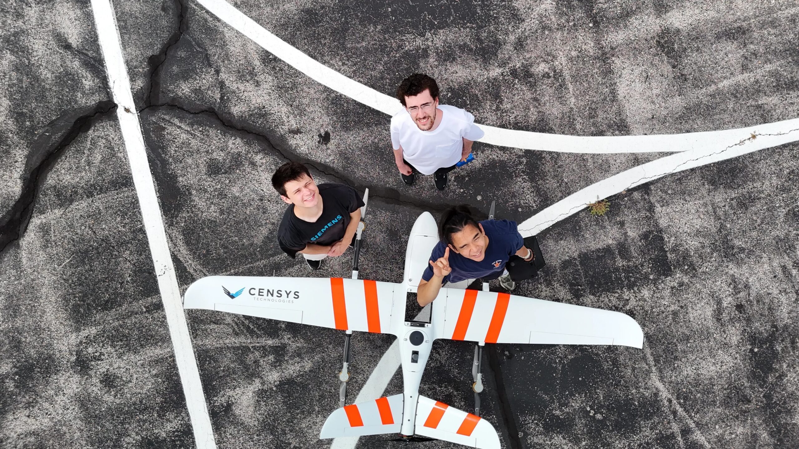
AIVE AI Systems Enhances Geospatial Data Access with Innovative Mapping Solutions
At the upcoming 2026 INTERGEO event in Munich, AIVE Systems will showcase its AI-driven software that simplifies the creation of georeferenced 2D maps from drone imagery. This innovation targets users who require geographic context without needing intricate 3D models, expanding its applications beyond wildfire detection. AIVE's technology stems from the FLARE-X project, a collaboration led by The University of Texas at Austin, which focused on autonomous wildfire risk mapping and detection. The software developed by AIVE aims to support various sectors, including infrastructure inspection, public safety, agriculture, and border patrol, by providing essential environmental insights. The company's initial offerings, Atlas GEO Cloud and Atlas GEO QGIS, utilize fewer images to generate maps, differentiating from traditional methods that rely on precise positioning tools. AIVE's approach automates the mapping process, making it accessible for users without extensive expertise. No further timeline was disclosed at the time of publication.
DL Exclusive Drone News Drone News Feeds Education Mapping News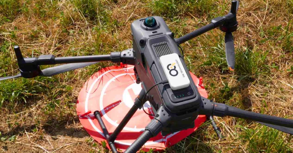
Wildfire drones could soon ditch bulky satellite terminals
As Europe gears up for its largest coordinated response to wildfires, the use of drones is proving crucial for detecting fires, monitoring their progression, and providing real-time updates to emergency teams. However, a significant challenge arises when these drones operate beyond cellular coverage, as traditional methods for transmitting live video require cumbersome satellite terminals. Addressing this issue, OQ Technology has developed a new satellite demonstration that aims to streamline communication for responders in remote areas. This innovation is expected to enhance the efficiency and effectiveness of wildfire management efforts across the continent.
News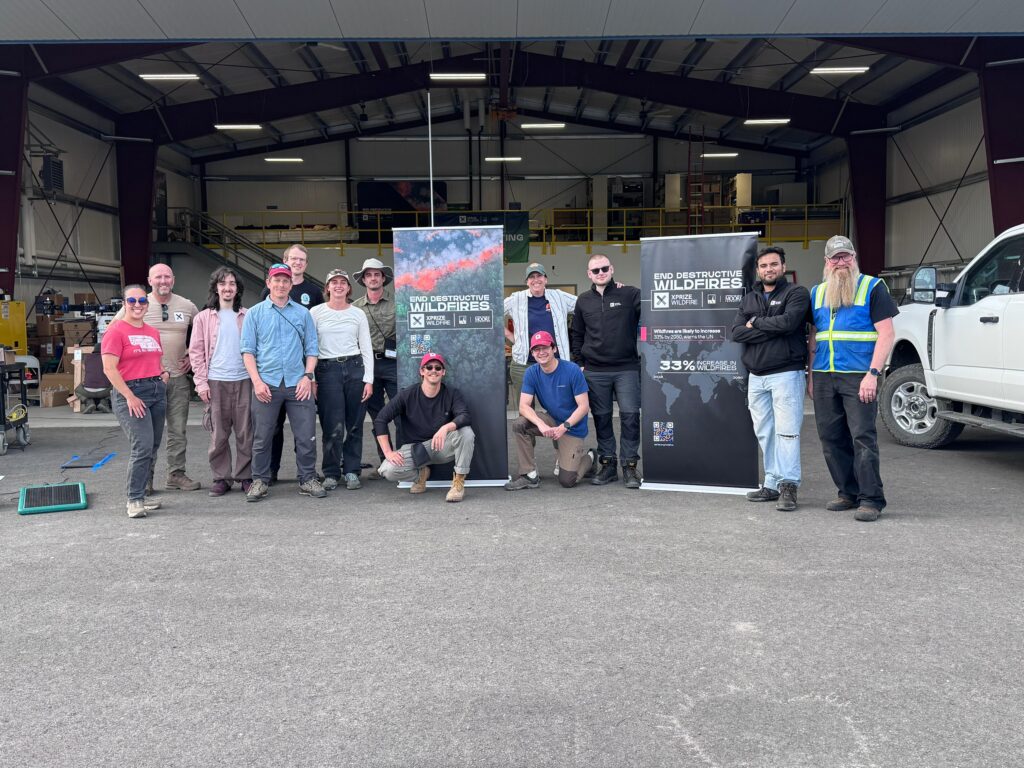
AURA Foresight Reaches Global XPRIZE Wildfire Finals in Alaska
AURA Foresight, a team dedicated to developing autonomous technology for wildfire prevention, has been named a finalist in the XPRIZE Wildfire Autonomous Wildfire Response competition. Out of more than 130 global competitors, AURA Foresight stands out as one of only four teams remaining in the prestigious contest. This recognition highlights the team's innovative approach to addressing the escalating threat of wildfires, aiming to implement solutions that can effectively halt these disasters before they escalate. The competition, which emphasizes the importance of technological advancements in environmental protection, showcases AURA Foresight's commitment to creating impactful change in wildfire management.
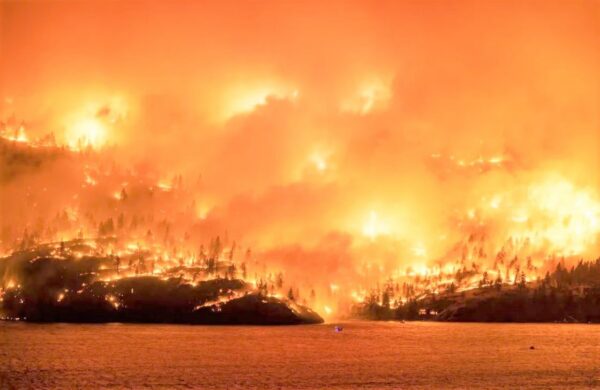
Students Compete in XPRIZE Wildfire Finals With AI Drone Firefighting
In an exciting showcase of innovation, students from Silicon Valley are competing against professional firefighters and industry experts in the XPRIZE competition, which aims to develop cutting-edge solutions for combating wildfires. This prestigious event, which attracts teams globally, highlights the urgent need for effective firefighting technologies in response to the increasing threat of wildfires. The competition features advanced drone technology and artificial intelligence, demonstrating how these tools can enhance firefighting efforts. Participants are leveraging their skills and creativity to address this critical issue, showcasing the potential for collaboration between academia and industry in the fight against wildfires. The finals are set to take place soon, with teams eager to present their groundbreaking ideas and technologies.
Disaster Response Drone News Drone News Feeds Drones in the News Firefighter News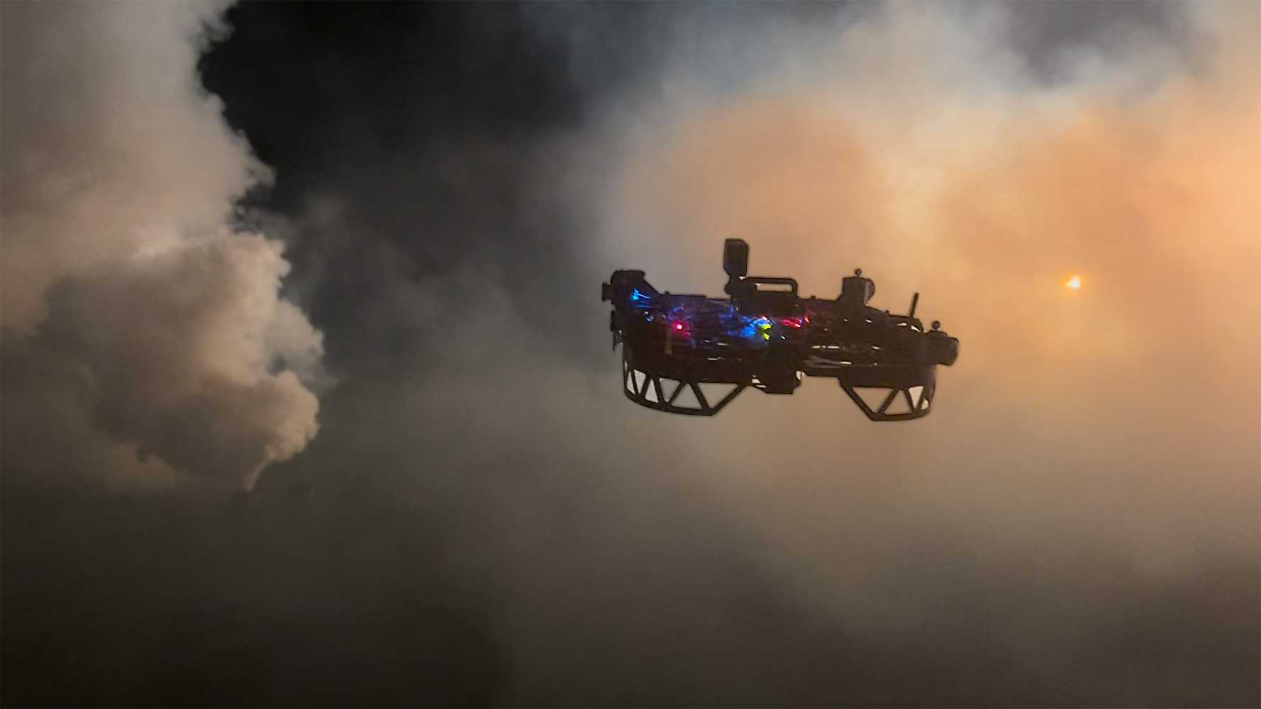
Robotics Institute Developing Drones To Fight Wildfires
Researchers at Carnegie Mellon University's Robotics Institute are developing drones aimed at combating wildfires, a project inspired by the brown haze that enveloped Pittsburgh and other U.S. cities last summer. This haze was a result of unprecedented wildfires in Canada, which served as a stark reminder of the growing threat posed by such natural disasters. The initiative seeks to enhance firefighting capabilities and mitigate the impacts of wildfire smoke on urban areas. By leveraging drone technology, the Robotics Institute aims to improve monitoring and response efforts during wildfire events, ultimately contributing to better environmental management and public safety.
UncategorizedRobotics needs a service framework.
RSF defines a common language for robot service capability, lifecycle operations, certification pathways, and service-provider networks.
Join the RobotToday community on LinkedIn
Daily robotics news, in-depth analysis, conference highlights, and discussions with professionals worldwide.