

Industry Briefing
A single destination for timely, editor-curated robotics news from around the world.

BMT Partners with Seabed 2030 to Enhance Ocean Mapping in Asia Pacific and Globally
BMT has officially joined the Seabed 2030 Project, a collaborative initiative aimed at mapping the world's oceans. This partnership will leverage BMT's extensive maritime expertise to support the project's goal of creating a comprehensive ocean map, which is crucial for understanding marine risks and opportunities. The Seabed 2030 Project, endorsed by the UN Ocean Decade, seeks to compile all ocean floor data into the freely available GEBCO Ocean Map. Despite its significance, much of the ocean remains unmapped, which hinders decision-making in marine environments. BMT's involvement is expected to enhance collaboration within the geospatial and maritime communities, accelerating the mapping process. As BMT expands its maritime capabilities across Australia and the Asia Pacific, this partnership will integrate its knowledge in maritime design and environmental solutions with Seabed 2030's mission. No further timeline was disclosed at the time of publication.
bmt usv ocean mapping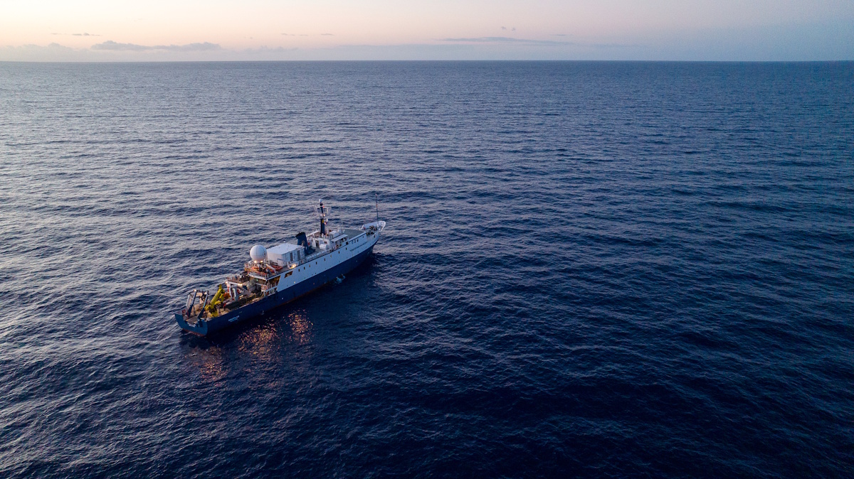
Ocean Exploration Trust Launches Expedition with New Mapping Sonar to Explore Deeper than Ever!
The Ocean Exploration Trust (OET) launched its Exploration Vessel (E/V) Nautilus today for the inaugural expedition of 2026, marking a significant advancement in deep-sea exploration. This expedition, named Pacific Mapping (NA178), features the first operational deployment of the newly installed Kongsberg EM 304 MKII multibeam sonar technology, which enhances the vessel's capability to explore ocean depths more effectively than ever before. The initiative aims to expand our understanding of the Pacific Ocean's underwater landscapes and ecosystems, leveraging cutting-edge technology to gather critical data. The expedition underscores OET's commitment to marine research and exploration, as it seeks to uncover the mysteries of the ocean and contribute to scientific knowledge.
ocean exploration trust’s (oet) e/v nautilus expedition 2026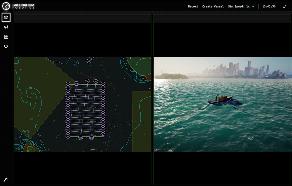
Seabed 2030 and Greenroom Robotics Announce Partnership to Support Global Ocean Mapping
The Nippon Foundation-GEBCO Seabed 2030 Project has formed a partnership with Greenroom Robotics, an Australian company specializing in artificial intelligence and autonomy for maritime operations. This collaboration aims to enhance the safety, efficiency, and environmental sustainability of maritime activities through advanced perception and autonomy software. The announcement highlights the growing importance of innovative technologies in supporting responsible maritime practices as the project continues its mission to map the world's seabed by 2030.
seabed 2030 greenroom robotics partnership global ocean mapping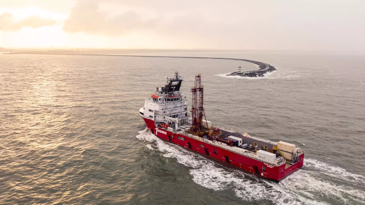
Fugro Reinforces its Role as Major Contributor to UN Ocean Decade Initiative for Seabed Mapping
Fugro has reaffirmed its commitment to the Nippon Foundation-GEBCO Seabed 2030 project, a key initiative under the United Nations Ocean Decade, during the Oceanology International event held in London. As the Ocean Decade approaches its midpoint, the company is enhancing its contribution by expanding the fleet of vessels involved in the Seabed 2030 project. Notably, Fugro's largest vessels, which are primarily engaged in geotechnical surveys, will now also participate in the collection of vital ocean-floor data, complementing the efforts of the existing geophysical fleet. This expansion aims to accelerate the mapping of the world's seabeds, supporting global efforts to better understand and protect oceanic environments.
fugro un ocean decade initiative for seabed mapping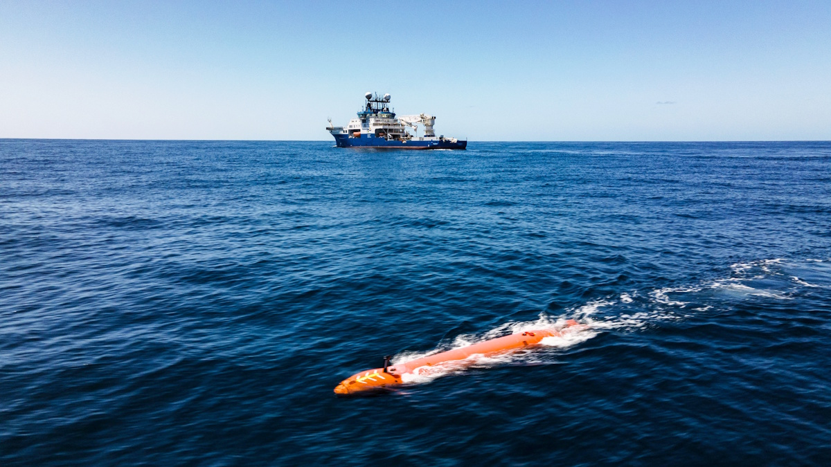
Schmidt Ocean Institute Advances R/V Falkor (too)’s Mapping Capabilities
The Schmidt Ocean Institute has successfully mapped an impressive 2 million square kilometers of seafloor, a vast area comparable to the size of Greenland. This achievement was announced recently as part of the institute's ongoing efforts to enhance underwater exploration. In a bid to improve the capabilities of its research vessel, R/V Falkor (too), the institute implemented two significant upgrades this year. These enhancements included a complete redesign of the ship's bow and the integration of advanced Autonomous Underwater Vehicles (AUVs), recognized as the gold standard in underwater mapping technology. These developments are expected to significantly bolster the institute's ability to conduct detailed and efficient seafloor mapping, furthering its mission to explore and understand the ocean's depths.
schmidt ocean institute (soi) r/v falkor (too) mapping capabilities kongsberg hugin superior auv
NOAA-Led Ocean Mapping Expedition in Cook Islands Hailed as a Resounding Success
The Exploration Vessel Nautilus, operated by the Ocean Exploration Trust, has successfully concluded a pioneering three-week mission to map and explore the Exclusive Economic Zone (EEZ) of the Cook Islands. This initiative, which took place recently, was spearheaded by the National Oceanic and Atmospheric Administration (NOAA) through its Ocean Exploration program, with additional support from a grant provided to the Ocean Exploration Cooperative Institute (OECI). The mission represents a significant advancement in the collaboration between the United States and the Cook Islands, aimed at enhancing marine resource management in the region. By employing advanced mapping technologies and conducting in-depth explorations, the project not only contributes to scientific knowledge but also fosters stronger partnerships in sustainable ocean stewardship.
noaa ocean exploration trust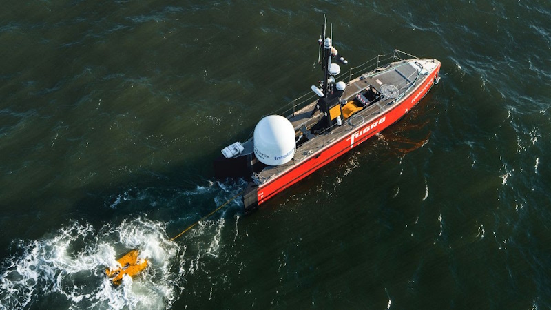
Fugro and NOAA partner to advance remote deep-ocean mapping
Fugro, a leading geotechnical and survey company, has partnered with NOAA Ocean Exploration to establish a five-year Cooperative Research and Development Agreement (CRADA). This collaboration aims to design and implement remote and uncrewed technologies that will enhance deep-ocean mapping and characterization. Announced recently, this public-private partnership seeks to address significant data deficiencies in the deep ocean, one of the planet's least explored regions. By improving access to vital information, the initiative is expected to facilitate informed decision-making regarding offshore energy development, marine resource management, and national security. The deployment of these advanced technologies is anticipated to play a crucial role in advancing our understanding of the deep sea and its resources.
fugro noaaRobotics needs a service framework.
RSF defines a common language for robot service capability, lifecycle operations, certification pathways, and service-provider networks.
Join the RobotToday community on LinkedIn
Daily robotics news, in-depth analysis, conference highlights, and discussions with professionals worldwide.







