

Industry Briefing
A single destination for timely, editor-curated robotics news from around the world.
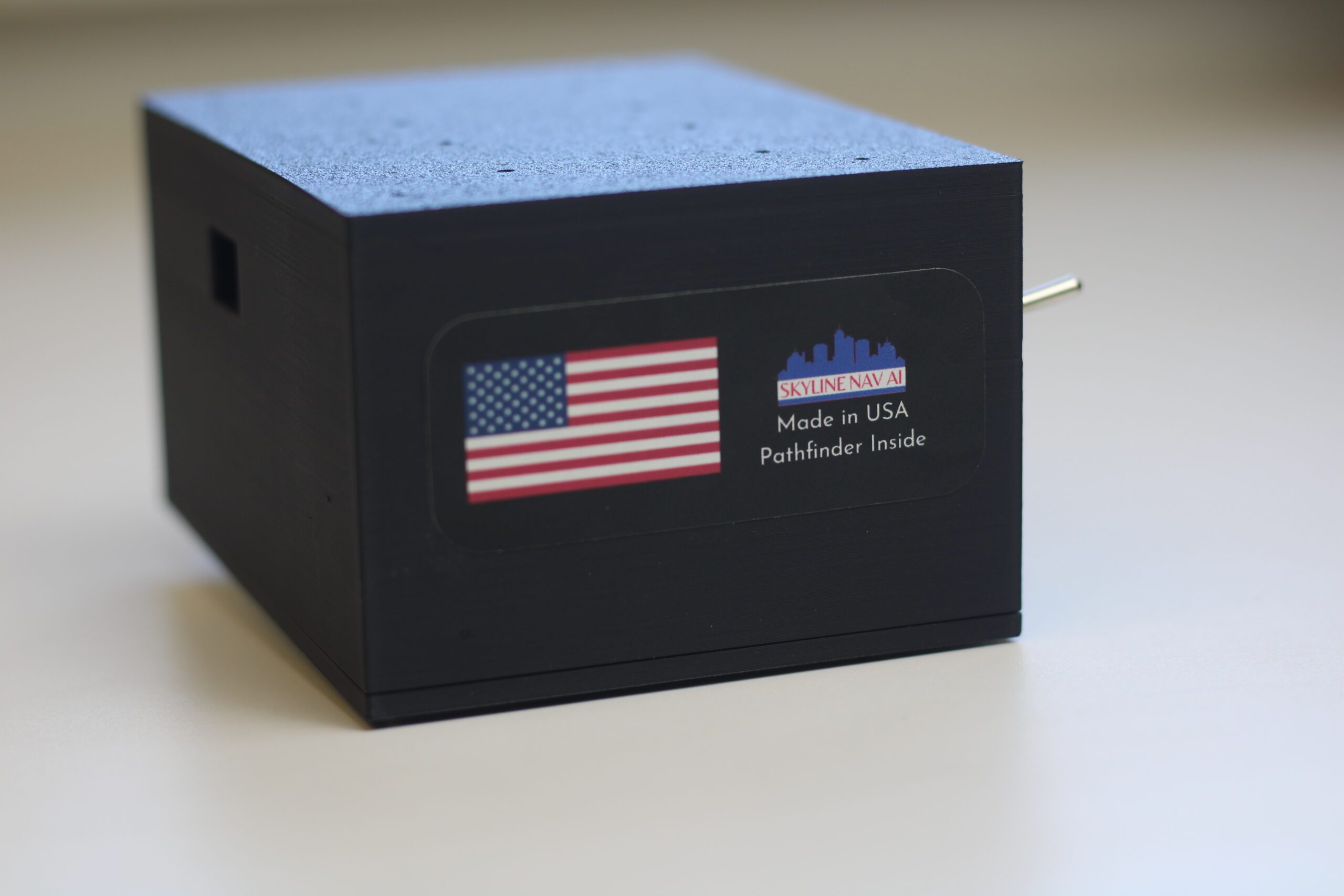
Skyline Nav AI Develops GPS-Independent Navigation Software for Drones
Skyline Nav AI, founded in 2020, specializes in low-cost GPS-independent visual positioning and navigation software aimed at defense and public safety sectors. The company was established in response to the increasing disruption of GPS signals, which can be easily jammed or spoofed, as highlighted by CEO Kanwar Singh's experiences in the Army National Guard. The significance of Skyline's technology is underscored by the growing reliance on drones in modern warfare, particularly in conflicts like those in Ukraine and the Middle East. As adversaries increasingly employ GPS jamming tactics, the need for reliable navigation solutions has become critical. Skyline's products, including the Pathfinder series, are designed to operate effectively in GPS-denied environments, attracting clients such as the U.S. Air Force and NASA. Looking ahead, Skyline Nav AI's innovative approach to drone navigation could reshape operational capabilities in military and public safety applications. The company’s focus on integrating advanced computer vision and machine learning into its products positions it well for future developments in autonomous systems. No further timeline was disclosed at the time of publication.
communications connectivity Drone News Drone News Feeds Feature 1 News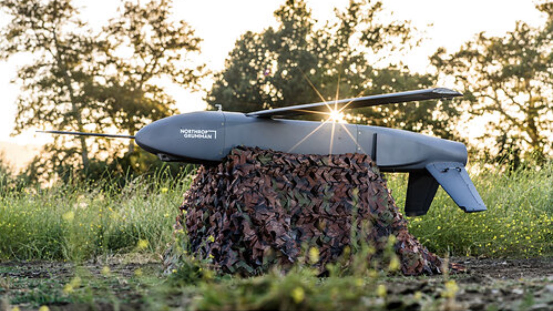
Northrop Grumman's Lumberjack Drone Successfully Tests Quantum Navigation Technology
Sandbox AQ has successfully tested its quantum sensor-based Magnetic Navigation (MagNav) on Northrop Grumman’s Lumberjack drone, marking a significant milestone in unmanned aircraft systems. This test is the first of its kind for an attritable drone, showcasing the potential of quantum navigation in GPS-denied environments, which is increasingly relevant given current military operations. The successful integration of MagNav with Lumberjack's visual navigation system is crucial as the U.S. military seeks alternatives to GPS for navigation and targeting. The ongoing conflicts in Ukraine and West Asia highlight the need for resilient navigation systems that can operate effectively even when GPS signals are jammed or spoofed. This advancement could enhance operational capabilities in contested domains. Looking ahead, the deployment of Sandbox AQ’s AQNav technology in various aircraft platforms could revolutionize military navigation. The ease of integration into existing systems, as demonstrated by the rapid installation on Lumberjack, suggests a promising future for quantum navigation solutions in defense applications. No further timeline was disclosed at the time of publication.
Military
US Defence Innovation Unit Successfully Tests GPS-Free Magnetic Navigation System for Aircraft
The US Defence Innovation Unit (DIU) has completed a successful flight test of a magnetic navigation system designed to guide aircraft without reliance on GPS. This advancement marks a significant step in developing navigation technologies that can operate in environments where GPS signals are weak or unavailable. The ability to navigate aircraft across open oceans without GPS is crucial for enhancing operational capabilities in military and commercial aviation. This technology could provide a reliable alternative for navigation in remote areas, potentially improving safety and efficiency in flight operations. Looking ahead, the implications of this successful test could lead to further developments in navigation systems that enhance aircraft autonomy. No further timeline was disclosed at the time of publication.
News
Sodyo Introduces RangeMark for Automatic Target Recognition in Drones Without GPS
Sodyo Ltd. has unveiled its RangeMark technology, enabling autonomous drones to identify objects from up to 0.6 miles away using only a standard camera. This innovation eliminates the reliance on GPS and external networks, providing deterministic confirmation of marked objects through machine-readable visual codes. The significance of RangeMark lies in its ability to enhance the accuracy of drone operations across various sectors, including defense, infrastructure inspection, emergency response, and industrial automation. Unlike traditional AI vision systems that infer object identity, RangeMark offers a reliable method for confirming the identity of objects, even in complex environments where GPS signals may be unavailable. Looking ahead, Sodyo plans to license RangeMark to drone manufacturers and system integrators, aiming for integration into existing and future autonomous platforms. The technology will be showcased at the Commercial UAV Expo Americas 2026, marking its commercial debut and the company's pursuit of partnerships in both defense and commercial drone markets. No further timeline was disclosed at the time of publication.
Military
Innovative Navigation Systems Emerge Amidst Battlefield GPS Spoofing Challenges
Recent developments in drone navigation are being driven by the challenges posed by GPS spoofing and other jamming techniques used in warzones. These countermeasures aim to disrupt drone operations, prompting companies to innovate and create navigation systems that can function effectively despite such interference. The significance of these advancements lies in their potential to enhance the reliability and resilience of drone operations in military applications. As drones become increasingly integral to modern warfare, the ability to navigate accurately in jamming environments is crucial for mission success and operational safety. Looking ahead, the focus will be on how these new navigation technologies are integrated into existing drone systems and their performance in real-world scenarios. The ongoing evolution of counter-jamming solutions will be a key area to monitor as the demand for robust drone capabilities continues to grow.

Durham University Develops Advanced Drone Navigation System for Safer Flight in Crowded Spaces
Researchers at Durham University have created an innovative drone navigation system that allows autonomous aircraft to navigate through cluttered environments more efficiently. This advancement enhances the speed, smoothness, and safety of drone operations in areas filled with obstacles. The significance of this development lies in its potential applications, including search and rescue missions, infrastructure inspections, and environmental monitoring. By improving drone navigation, this system opens up new opportunities for various industries that rely on aerial technology. Looking ahead, the impact of this navigation system could transform how drones are utilized in complex environments. No further timeline was disclosed at the time of publication.
Robotics
Taiwan unveils AI drone navigation system that flies through GPS jamming
Taiwan’s Aerospace Industrial Development Corporation (AIDC), a state-backed entity, has introduced an innovative AI-powered navigation system aimed at enhancing the capabilities of its aerospace technology. This announcement was made during a press conference held on October 15, 2023, in Taichung, Taiwan. The new system is designed to improve the safety and efficiency of aircraft operations, reflecting AIDC's commitment to advancing the nation’s aerospace industry amid growing global competition. By integrating artificial intelligence into navigation processes, AIDC aims to streamline flight operations and reduce the risk of human error. The development of this technology comes as part of Taiwan's broader strategy to bolster its defense capabilities and maintain technological sovereignty in the face of regional tensions.
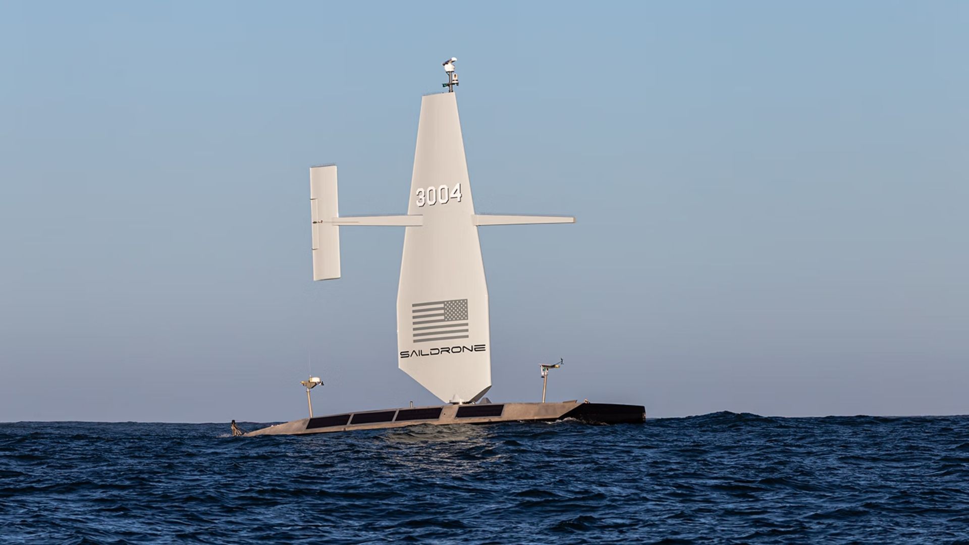
US Navy Awards $10 Million to Saildrone for Atlantic Seabed Mapping with USVs
The US Navy has awarded a $10 million contract to Saildrone to utilize autonomous vessels for mapping the Atlantic Ocean floor. This initiative, assigned by the Naval Oceanographic Office, is set to commence in 2026 and will continue through most of 2027, enhancing military knowledge of critical underwater terrain. This project is significant as it aims to improve safe navigation and support submarine missions, anti-submarine warfare, and critical infrastructure protection. Currently, only 28.7 percent of the world's oceans have been mapped to modern standards, leaving substantial knowledge gaps that can pose operational risks for naval operations. Looking ahead, the deployment of Saildrone's Surveyor unmanned surface vessels will not only provide high-resolution bathymetric data but also measure ocean currents, aiding search-and-recovery operations. No further timeline was disclosed at the time of publication.
Military
XTEND Receives U.S. Patent for Drone Autonomy Technology Enhancing Mission Efficiency
XTEND Reality Inc. has secured a U.S. patent for its autonomous navigation technology, specifically U.S. Patent No. 12,222,735, which allows drones to navigate toward operator-designated destinations without reliance on the surrounding environment. This patent, also granted in Israel, supports the company's mission to enhance drone autonomy in complex operational settings, reducing operator workload and improving mission execution reliability. The significance of this patent lies in its ability to enable drones to adapt their navigation in real-time while maintaining focus on mission objectives. As autonomous operations grow in defense, security, and public safety sectors, this technology positions XTEND favorably in a competitive landscape, reinforcing its software foundation, XOS, for next-generation autonomous systems. Looking ahead, XTEND is set to participate in the Gauntlet II phase of the U.S. Department of War's Drone Dominance Program, which will test autonomous systems in August at Fort Carson, Colorado. No further timeline was disclosed at the time of publication regarding additional developments related to this patent or upcoming projects.
Controllers Defense / Security Investments Mergers & Acquisitions News Unmanned Aerial Systems / Drones
New sub-450-gram mini drone system sustains autonomous surveillance despite GPS jamming
As military forces seek innovative solutions to enhance soldier safety and situational awareness, recent advancements in technology are being explored. These developments aim to provide troops with better protection while ensuring they remain alert to their surroundings. The initiative comes in response to the increasing challenges faced by soldiers operating in high-stress environments, where the balance between safety and awareness is crucial. By integrating cutting-edge wearable devices and advanced communication systems, armies are working to create a more effective and responsive combat experience. This effort is particularly relevant in light of ongoing conflicts and the evolving nature of warfare, which demands that soldiers be both protected and informed. The implementation of these technologies is expected to improve operational efficiency and reduce risks on the battlefield, ultimately enhancing the overall effectiveness of military missions.
Military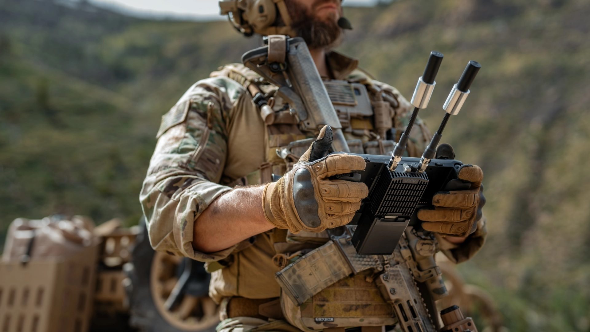
DRONELIFE Exclusive Interview: Inside PDW’s Strategy to Build Drones That Can Operate When GPS and Communications Fail
PDW is advancing the development of sophisticated drone communication systems to enhance military operations in environments where traditional communication methods may fail. As global militaries increasingly depend on drones for surveillance and combat, the need for reliable communication links has become critical, especially in areas with contested communication. The company's strategy focuses on creating drones capable of functioning effectively even when GPS and standard communication systems are compromised. This initiative highlights the growing recognition of the importance of resilient drone technology in modern warfare.
Applications Defense defense Drone News Drone News Feeds Dual Use
How drones can navigate without GPS
In contested and denied environments, the importance of absolute positioning has become increasingly critical. As military operations evolve, forces must rely on precise location data to navigate and execute strategies effectively. This need has been underscored by recent developments in warfare, where traditional navigation methods may be compromised. Experts emphasize that accurate positioning is essential for mission success, particularly in scenarios where GPS signals may be jammed or spoofed. As a result, military organizations are investing in advanced technologies and training programs to enhance their capabilities in these challenging conditions. By integrating innovative solutions, they aim to ensure reliable navigation and operational effectiveness, even in the most complex environments. The ongoing focus on absolute positioning reflects a broader trend in military strategy, where adaptability and technological advancement are paramount. As conflicts continue to evolve, the ability to maintain accurate situational awareness will be crucial for ground forces and their overall mission objectives.
Networks & Digital Warfare Space Sponsored Post anti-drone artificial intelligence AI C4ISR
New drone targeting tech counters GPS jamming threats
As GPS jamming and spoofing tactics gain prevalence in modern warfare, drone operators are facing significant challenges with the accuracy of their video feeds. While the visual quality of the footage remains clear, the geographic coordinates associated with it can often be misleading, leading to what defense companies describe as “targeting paralysis.” This phenomenon complicates precision targeting efforts, posing a serious obstacle for military operations. The increasing sophistication of these electronic warfare techniques highlights the urgent need for advancements in drone navigation and targeting systems to ensure operational effectiveness in combat scenarios.
News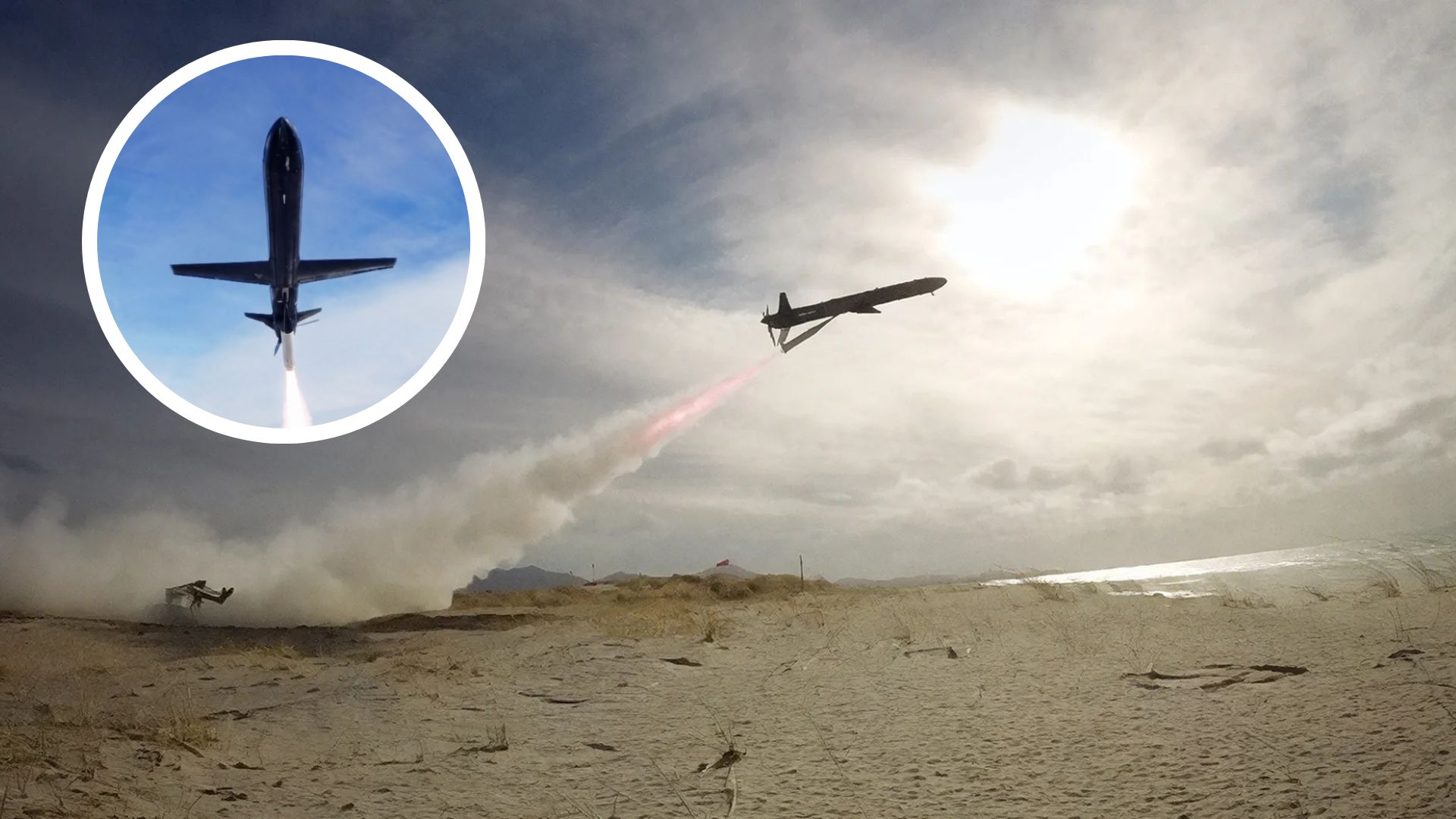
UK tests SkyLance drone built for low-cost strikes in GPS-jammed battlefields
British drone manufacturer Rotron Aerospace has successfully conducted a live firing test of its SkyLance autonomous strike drone. This significant milestone took place recently, showcasing the drone's advanced capabilities in a real-world scenario. The test was held at a designated military testing site in the UK, where the SkyLance demonstrated its precision and effectiveness in targeting. The motivation behind this development is to enhance military operations by providing armed forces with cutting-edge technology that can operate autonomously, thereby reducing risks to personnel. The SkyLance is designed to engage targets with high accuracy, utilizing advanced algorithms and sensor technology to navigate and execute missions independently. This live firing event marks a crucial step in the drone's development, as it allows Rotron Aerospace to gather valuable data on the drone's performance and reliability under combat conditions. The successful test is expected to pave the way for further advancements in autonomous drone technology, potentially transforming modern warfare strategies.

Belgian Deep Tech Startup Completes ESA-Funded Feasibility Study to Advance Autonomous Drone Landing in GPS-Denied Environments
Agilica BV, a company spun out from the Royal Military Academy of Belgium, has successfully completed a feasibility study funded by the European Space Agency (ESA) to create an innovative Alternative Positioning, Navigation, and Timing (PNT) system. This new technology aims to enhance precision drone navigation and landing capabilities in areas where Global Navigation Satellite System (GNSS) signals are weak or unavailable. This milestone marks a significant advancement in the commercialization of Agilica’s primary product, the AGL system. The development integrates compatibility with GNSS and the Galileo High Accuracy Service (HAS) into their Ultra-Wideband (UWB) positioning solution, targeting applications in maritime, logistics, and urban air mobility sectors.
agilica deep tech startup esa feasibility study autonomous drone landingRobotics needs a service framework.
RSF defines a common language for robot service capability, lifecycle operations, certification pathways, and service-provider networks.
Join the RobotToday community on LinkedIn
Daily robotics news, in-depth analysis, conference highlights, and discussions with professionals worldwide.







