

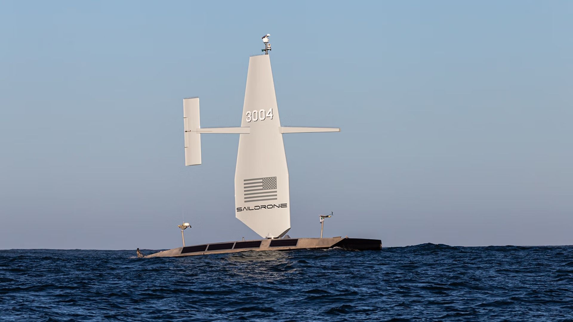
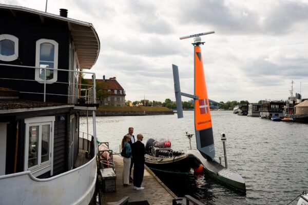
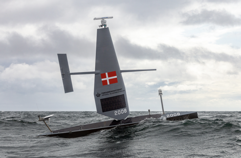
The US Navy has awarded a $10 million contract to Saildrone to utilize autonomous vessels for mapping the Atlantic Ocean floor. This initiative, assigned by the Naval Oceanographic Office, is set to commence in 2026 and will continue through most of 2027, enhancing military knowledge of critical underwater terrain.
This project is significant as it aims to improve safe navigation and support submarine missions, anti-submarine warfare, and critical infrastructure protection. Currently, only 28.7 percent of the world's oceans have been mapped to modern standards, leaving substantial knowledge gaps that can pose operational risks for naval operations.
Looking ahead, the deployment of Saildrone's Surveyor unmanned surface vessels will not only provide high-resolution bathymetric data but also measure ocean currents, aiding search-and-recovery operations. No further timeline was disclosed at the time of publication.
Editor's Note
The US Navy's investment in autonomous vessels for seabed mapping reflects a growing trend in military operations towards leveraging advanced technologies for enhanced situational awareness. This shift may influence procurement strategies and operational planning in naval defense, emphasizing the importance of accurate environmental data in strategic decision-making.





















Leave a comment