

Industry Briefing
A single destination for timely, editor-curated robotics news from around the world.
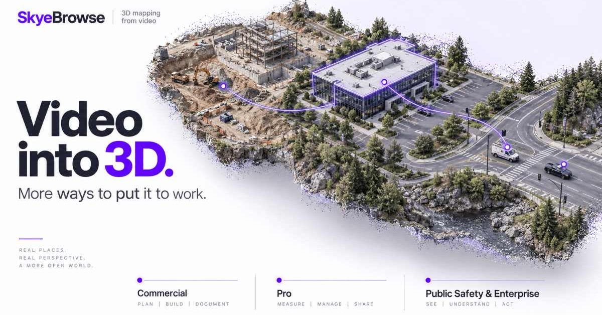
SkyeBrowse Introduces New Pricing Plans for Drone 3D Mapping Solutions
SkyeBrowse has revamped its pricing structure for its drone 3D modeling platform, introducing three distinct plans: Commercial, Pro, and Public Safety & Enterprise. These plans are tailored to meet the varying needs of teams utilizing 3D models for applications such as construction, inspections, and tactical operations. The new pricing tiers reflect the different levels of functionality required by users. The Commercial plan, priced at $24.99 per model monthly, focuses on basic mapping and documentation, while the Pro plan, costing $49.99 monthly, adds advanced features like exports and AI tools. The Public Safety & Enterprise tier, at $199 annually, encompasses all available features. As SkyeBrowse continues to enhance its platform, users should monitor how these pricing changes impact adoption across various sectors, particularly in industries that rely heavily on 3D modeling for operational efficiency. No further timeline was disclosed at the time of publication.
News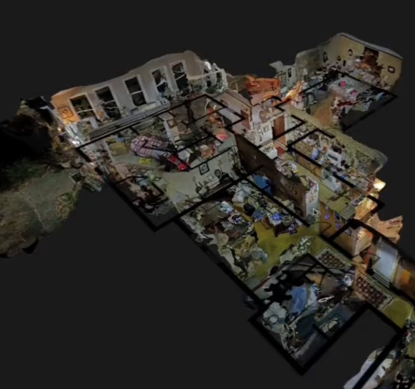
SkyeBrowse Introduces Flexible Per-Model Pricing for 3D Drone Mapping Solutions
SkyeBrowse has launched a new pricing structure aimed at enhancing flexibility for 3D drone mapping among commercial users, public safety agencies, and larger organizations. The new model features three plans: Commercial at $24.99 per model, Pro at $49.99 per model, and Public Safety & Enterprise at $199 per model per year, allowing customers to pay based on finished models rather than monthly subscriptions. This pricing strategy is significant as it lowers the barrier for smaller operators to access advanced 3D mapping capabilities without the need for an enterprise subscription. The plans offer varying features, including different processing qualities, storage periods, and tools tailored to specific user needs, reflecting SkyeBrowse's commitment to simplifying drone program scalability. Looking ahead, SkyeBrowse aims to continue enhancing user experience by focusing on simplicity and efficiency in drone operations. New features such as the Import Custom 3D Model tool and Case Gallery are designed to improve functionality for users, particularly in public safety applications. No further timeline was disclosed at the time of publication.
Applications Drone News Drone News Feeds Mapping News 3D drone mapping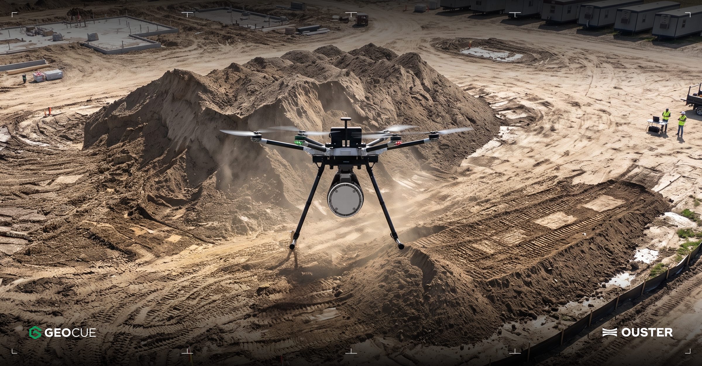
Ouster Partners with Flyability and GeoCue to Enhance Drone Mapping with Lidar Technology
Ouster has announced two significant partnerships aimed at expanding the use of lidar technology in commercial drone operations. The collaboration with Flyability focuses on integrating Ouster's lidar into the Elios 3 drone, which is designed for inspections in confined spaces like mine shafts and wastewater tunnels. Meanwhile, the partnership with GeoCue will see Ouster's Rev8 OS1 Max lidar integrated into TrueView drone mapping systems for utility surveying. These partnerships highlight the growing importance of lidar in enhancing drone capabilities, particularly in challenging environments where traditional GPS and cameras may fail. The Elios 3 drone, equipped with Ouster's compact OS0 lidar, enables real-time localization and collision avoidance, making it suitable for hazardous inspections. Ouster's CEO, Angus Pacala, emphasized the operational value of digital lidar in environments that conventional systems cannot easily access. Looking ahead, Flyability is evaluating Ouster's Rev8 lidar technology for future applications, which promises improved range, resolution, and color data. The companies plan to showcase their advancements at INTERGEO 2026 in Munich, Germany, from September 15-17, demonstrating how lidar is transforming the documentation of complex industrial environments.
Applications Drone News Drone News Feeds Inspection LiDAR News
JOUAV Demonstrates Real-Time Drone Mapping for Landslide Response in Chongqing
On July 17, JOUAV showcased its JOS-P200 drone system in Pengshui County, Chongqing, aiding emergency responders by providing a 3D map of a landslide area. The system delivered high-resolution imagery and a detailed model within an hour, allowing command centers to assess terrain and hazards before deploying personnel. This innovation is significant as it enhances safety and efficiency in disaster response, particularly in challenging environments where traditional access is limited. The JOS-P200's ability to produce real-time maps helps incident commanders make informed decisions regarding resource allocation and risk management. Looking ahead, JOUAV's technology could revolutionize emergency response strategies, especially in larger incidents where their CW-15 VTOL UAV can cover extensive areas quickly. No further timeline was disclosed at the time of publication.
Applications Asia Disaster Response Drone News Drone News Feeds Mapping
China Achieves 3D Mapping of Typhoon Noul Using Drone Swarm Technology
China has successfully created a three-dimensional map of Typhoon Noul from its inception to its conclusion using a swarm of drones. This innovative approach marks a significant advancement in meteorological technology, showcasing the capabilities of drone swarms in real-time environmental monitoring. The development is crucial as it enhances the accuracy of weather predictions and disaster response strategies, potentially saving lives and resources during severe weather events. By employing drone technology, China demonstrates its commitment to leveraging advanced tools for better understanding and managing natural disasters. Looking ahead, the implications of this technology could extend beyond meteorology, influencing various sectors that rely on real-time data collection and analysis. No further timeline was disclosed at the time of publication.
AI and Robotics
DJI Terra 5.3.0 Update Introduces AI, Thermal Mapping, and 3D Enhancements
DJI has launched a major update to its Terra mapping software, introducing features such as thermal mapping, video-based reconstruction, and an AI assistant. This update aims to enhance the efficiency of creating maps, 3D models, and inspection reports from drone imagery, making it easier for users to analyze data. The significance of this update lies in its ability to streamline workflows for various industries, including solar inspections and firefighting. The new thermal infrared reconstruction allows users to generate 2D thermal maps that integrate visible-light imagery with thermal data, simplifying post-flight analysis by providing comprehensive visual and thermal information. Looking ahead, the integration of video file support for visible-light projects and Rolling Shutter reconstruction will further enhance the capabilities of DJI Terra. No further timeline was disclosed at the time of publication.
News
DJI Drones Enhance Safety by Mapping Everest's Khumbu Icefall in 2026
DJI's recent case study highlights the use of its Matrice 4E drone and DJI Terra software by Airlift Technology to map the Khumbu Icefall during the 2026 Everest climbing season. This innovative approach provided Sherpas with a detailed 3D map of the hazardous terrain, significantly improving safety for climbers. The Khumbu Icefall is a critical and perilous section of the Everest climbing route, known for its deep crevasses and unstable ice formations. Traditionally, Sherpas would navigate this dangerous area on foot to establish safe paths. However, the drone's ability to survey the icefall in just three and a half hours allowed for a more efficient and safer mapping process. Looking ahead, the repeated drone surveys not only enhance climber safety but also offer valuable data for scientists studying glacier dynamics. This deployment marks a significant advancement in high-altitude expedition planning, with potential implications for future climbing seasons and environmental research.
News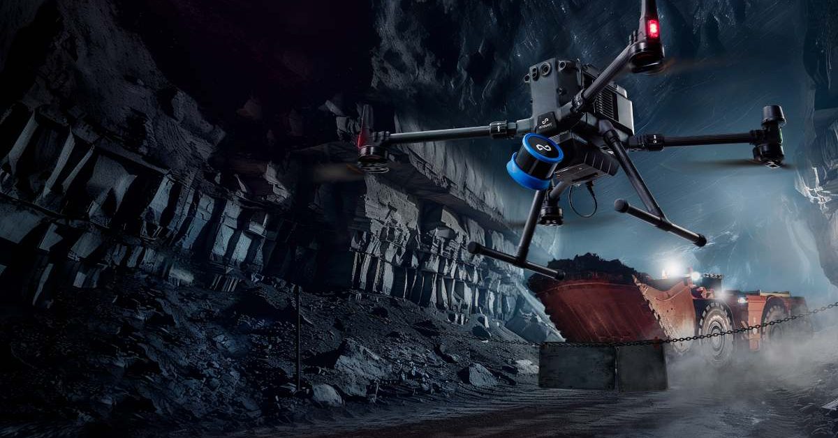
Emesent Secures $17 Million to Enhance AI-Driven Drone Operations and Expand Manufacturing
Emesent, an Australian drone mapping company, has raised $17 million to boost its AI-powered autonomous operations. This funding includes a $7 million venture debt facility from the National Reconstruction Fund Corporation and a $10 million equity round from notable investors such as Main Sequence and QIC Ventures. The investment aims to enhance the capabilities of drones in complex environments with minimal human intervention. The significance of this funding lies in Emesent's strategy to focus on software advancements alongside hardware improvements. The company plans to develop its Cortex AI autonomy software and Aura cloud platform, which will enable drones to operate in GPS-denied areas and process 3D mapping data efficiently. Emesent's existing Hovermap LiDAR payload is already utilized in over 200 mine sites globally, showcasing its established presence in the industrial drone sector. Looking ahead, Emesent intends to expand its manufacturing capabilities in Queensland while pursuing growth in international markets. CEO Charles Miller emphasized the importance of this investment in enhancing AI and autonomy for industries such as mining and defense. No further timeline was disclosed at the time of publication for the anticipated developments from this funding round.
News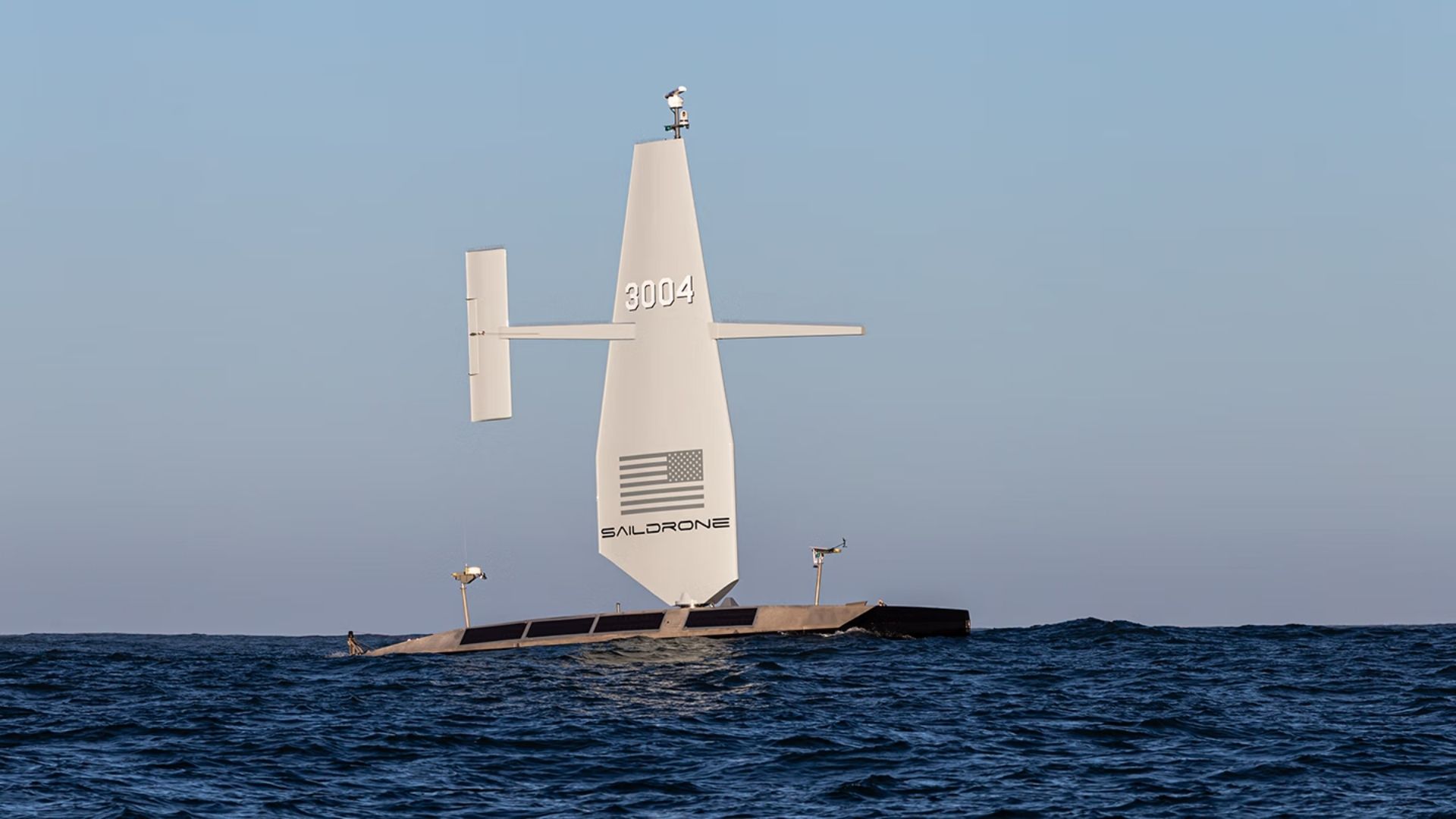
US Navy Awards $10 Million to Saildrone for Atlantic Seabed Mapping with USVs
The US Navy has awarded a $10 million contract to Saildrone to utilize autonomous vessels for mapping the Atlantic Ocean floor. This initiative, assigned by the Naval Oceanographic Office, is set to commence in 2026 and will continue through most of 2027, enhancing military knowledge of critical underwater terrain. This project is significant as it aims to improve safe navigation and support submarine missions, anti-submarine warfare, and critical infrastructure protection. Currently, only 28.7 percent of the world's oceans have been mapped to modern standards, leaving substantial knowledge gaps that can pose operational risks for naval operations. Looking ahead, the deployment of Saildrone's Surveyor unmanned surface vessels will not only provide high-resolution bathymetric data but also measure ocean currents, aiding search-and-recovery operations. No further timeline was disclosed at the time of publication.
Military
Ouster Expands into Drone Mapping and Autonomous Vehicles with Physical AI Technology
Ouster is advancing its technology that enables machines to perceive and navigate their environments, contributing to the growth of physical AI. The company is entering the drone mapping sector through a collaboration with GeoCue, while John Deere is integrating Ouster sensors into its GUSS autonomous vehicles. This expansion is significant as it highlights the increasing demand for physical AI solutions across various industries. Ouster's CEO, Angus Pacala, emphasized the company's commitment to exploring new markets and addressing the evolving needs for advanced sensing technologies in automation. Looking ahead, industry stakeholders should monitor Ouster's developments in drone mapping and its partnership with John Deere. No further timeline was disclosed at the time of publication.
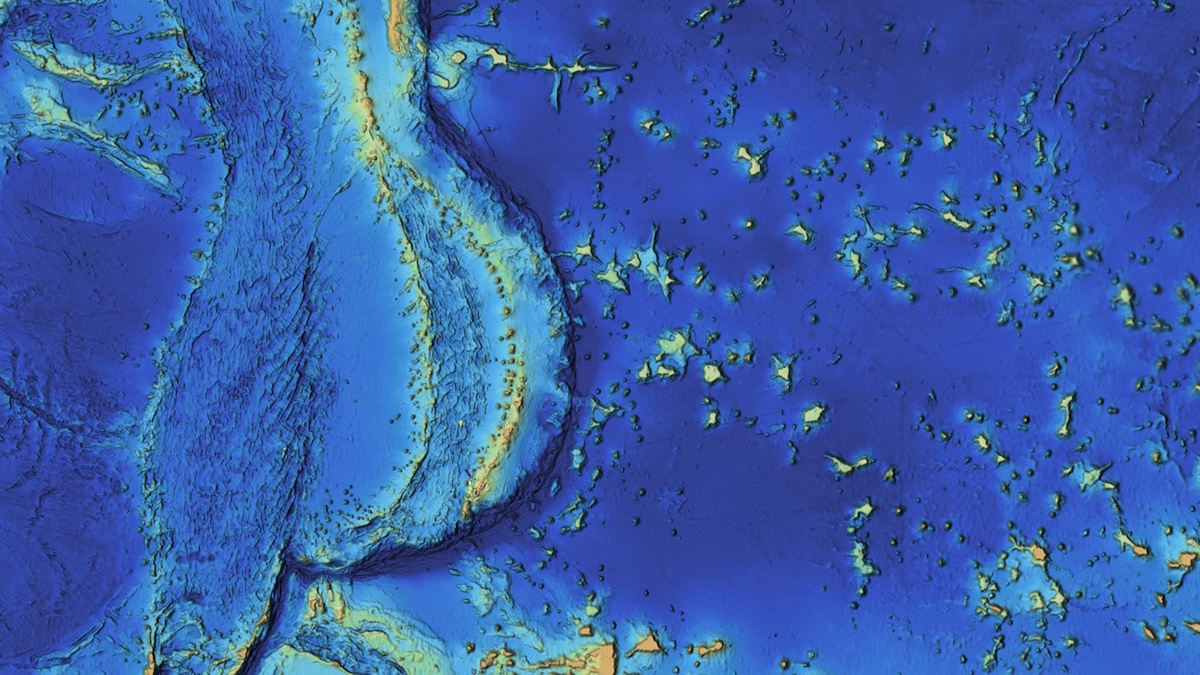
Mapping the Mariana Islands: Saildrone Partners with Woolpert to Survey Critical Maritime Region for NOAA
The Mariana Trench, home to Challenger Deep, the deepest point in the world's oceans at 10,935 meters (35,876 feet), remains one of the least explored and most geologically significant areas on Earth. This underwater marvel, located in the western Pacific Ocean, continues to intrigue scientists and researchers due to its profound depths and unique geological features. Efforts to map and study this region are crucial for understanding oceanic processes and biodiversity, as well as the effects of climate change on deep-sea ecosystems. As exploration technologies advance, researchers aim to uncover the mysteries of the trench and its surrounding islands, shedding light on the fundamental workings of our planet’s oceans.
mapping mariana islands saildrone woolpert survey noaa
Automated Multispectral Terrain Mapping Using Drones and Robotics
Recent advancements in drone technology have significantly enhanced the use of multispectral data, which is increasingly recognized for its role in informing scientific and operational decision-making. Unlike traditional aerial and satellite imaging, drone-based multispectral surveys offer superior detail, flexibility in timing, and improved accuracy. This innovative approach allows researchers and organizations to gather measurable insights more efficiently, ultimately leading to better-informed decisions across various fields. The growing reliance on drone technology for data collection underscores the importance of accurate and timely information in addressing complex challenges.

Saildrone Completes Pioneering Mapping Mission of Cayman Islands’ EEZ
Saildrone, a leader in autonomous deep-water mapping, has successfully completed a mission to map the exclusive economic zone of the Cayman Islands. Over approximately 300 days, the company utilized its Saildrone Surveyor uncrewed surface vehicle to survey around 90,000 square kilometers of seabed, reaching depths of up to 7,000 meters. The mission included over 900 sound-velocity profile casts to ensure the accuracy of the bathymetric data collected. A key focus of the survey was on four significant fishing banks—60 Mile Bank, Lawfords Bank, Pickle Bank, and 12 Mile Bank—which are vital for biodiversity and support local fisheries, tourism, and recreational activities. These areas also serve as indicators of the overall health of the Cayman Islands' marine ecosystem. The successful completion of this mapping mission is expected to enhance understanding and management of the region's marine resources.
saildrone pioneering mapping missionRobotics needs a service framework.
RSF defines a common language for robot service capability, lifecycle operations, certification pathways, and service-provider networks.
Join the RobotToday community on LinkedIn
Daily robotics news, in-depth analysis, conference highlights, and discussions with professionals worldwide.







