

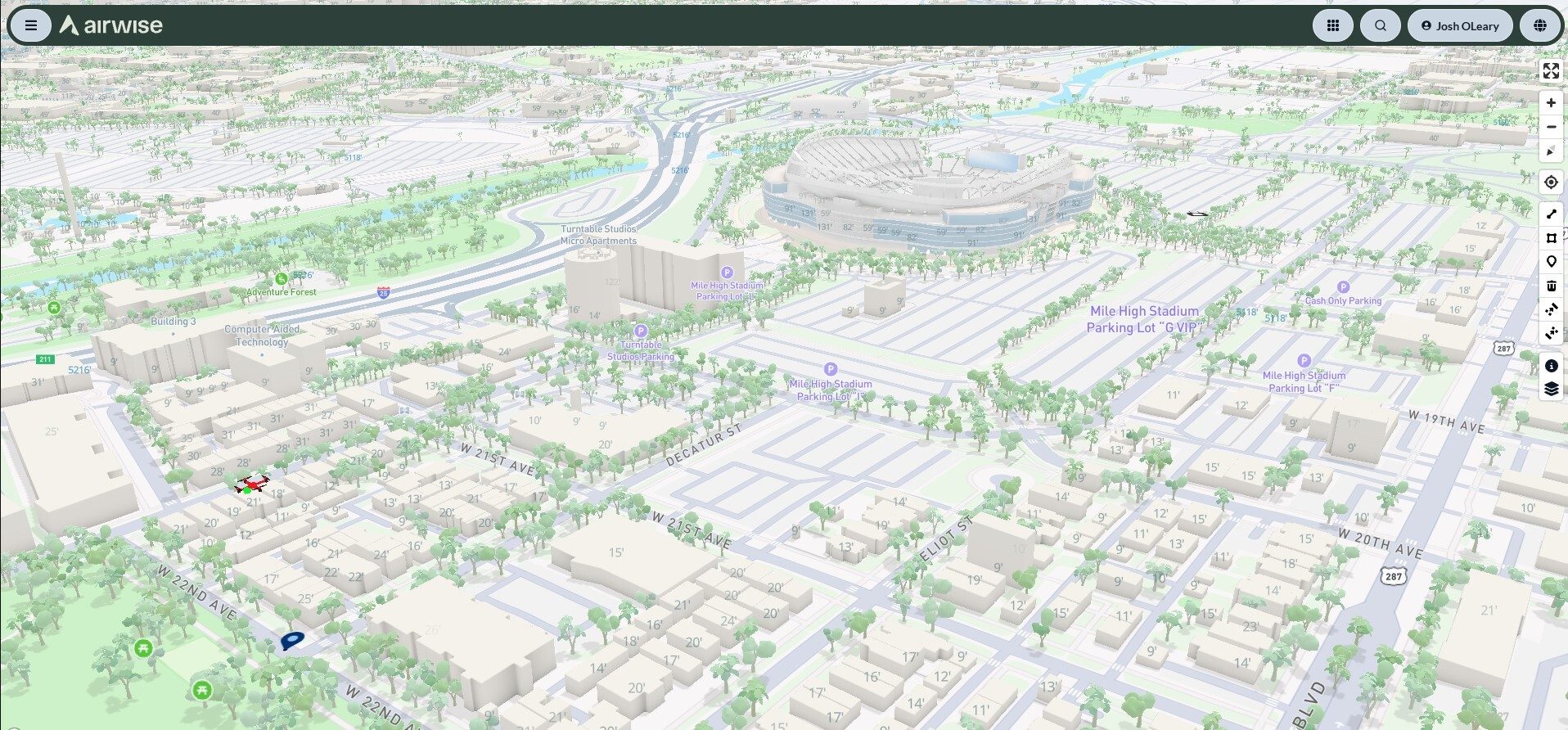
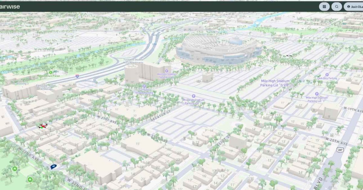
Airwise Solutions and UAS Sentry have established a partnership aimed at improving low-altitude airspace awareness. This collaboration will integrate UAS Sentry Nexus detection capabilities with the Airwise Nexus platform, allowing users to visualize detected Remote ID signals alongside their drone operations. The integration will also enable the connection of this data with airspace information, mission activity, aircraft telemetry, weather, and FAA services.
This partnership is significant as it supports critical infrastructure, utilities, airports, and industrial sites, while also catering to public safety agencies managing drone operations near sensitive areas. UAS Sentry Nexus is capable of detecting and identifying drones that transmit Remote ID signals, providing essential information about a drone's location and control station. The Airwise integration enhances this data by adding operational context, helping organizations differentiate between authorized and unauthorized drone activities.
Looking ahead, the integration of UAS Sentry's detection capabilities with Airwise's operational tools could transform how organizations manage their airspace. No further timeline was disclosed at the time of publication. As the demand for drone operations continues to rise, the ability to understand and manage low-altitude airspace effectively will be crucial for various sectors.
Editor's Note
The integration of drone detection and airspace intelligence is becoming increasingly vital as drone usage expands across various sectors. This partnership highlights the importance of situational awareness in managing airspace, especially for critical infrastructure and public safety. Organizations must adapt to the evolving landscape of drone operations, ensuring they have the necessary tools to monitor and respond to aerial activities effectively.


























Leave a comment