

Industry Briefing
A single destination for timely, editor-curated robotics news from around the world.
NOAA and Partners to Conduct Expeditions for Deep-Sea Mapping in American Samoa
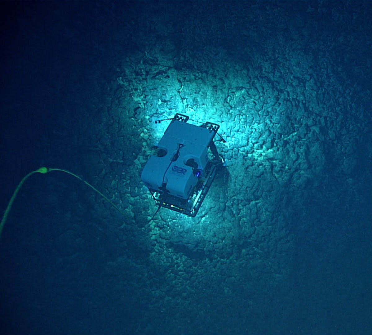
NOAA Ocean Exploration, alongside its partners, is set to conduct two significant expeditions in the waters surrounding American Samoa during the summer and fall of 2026. These expeditions aim to map and characterize the deep seafloor in a region prioritized for offshore critical mineral exploration, generating publicly available data to enhance understanding of mineral potential and support decision-making. The importance of these expeditions lies in their potential to uncover unknown marine habitats and mineral resources vital for national prosperity and security. NOAA's Principal Deputy Assistant Secretary Erik Noble emphasized the commitment to providing scientific research that supports commerce, while Captain William Mowitt highlighted the need for authoritative science to guide responsible marine resource management. The first expedition will occur from August to September 2026, followed by a second from late September to October 2026, utilizing advanced mapping technology and observational sensors aboard the NOAA Ship Okeanos Explorer. Real-time ROV operations will be streamed online, allowing public engagement and transparency in the exploration process. No further timeline was disclosed at the time of publication.
noaa exploration mapping deep water rov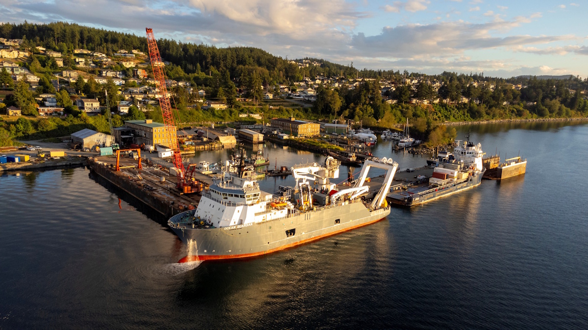
Parkburn's High-Speed Fibre Rope Winch with Scantrol AHC and Hampidjan to Advance TechIce Rope for Ultra-Deep Waters
In a significant advancement for operations in ultra-deep waters, Parkburn Precision Handling Systems and Scantrol AS have partnered to develop an innovative solution that enhances reliability. This collaboration has proven successful with the Stabbert Maritime Group's Offshore Support Vessel, the Ocean Guardian, which has maintained flawless performance since its delivery over two years ago. The joint effort aims to address the challenges faced in demanding marine environments, ensuring that the vessel operates efficiently and effectively in its critical support role.
parkburn high-speed fibre rope winch scantrol ahc hampidjan techice rope
Fugro Completes AUV-Based Geohazard Survey for Petronas Carigali in Malaysia
Fugro has successfully executed a geohazard site survey contract for Petronas Carigali at the Megah and Limbayong fields off the coast of Sabah, East Malaysia. This initiative is part of ongoing efforts to enhance Malaysia's offshore resource development. The survey provided essential Geo-data to identify seabed and subsurface hazards, facilitating informed engineering decisions in an ultra-deepwater environment. The significance of this project lies in its application of autonomous underwater vehicle (AUV) technology, which played a crucial role in conducting geohazard assessments and engineering studies. This technology supports the safe and efficient development of offshore activities, ensuring that potential risks are identified and managed effectively. The deployment of the Echo Surveyor 8 AUV from the Fugro Equator allowed for the acquisition of high-resolution data necessary for geohazard assessment and field development planning. Looking ahead, the successful completion of this offshore campaign, which ran from June to August 2026, underscores Fugro's commitment to innovation in the Asia Pacific region. No further timeline was disclosed at the time of publication.
NOAA to Map Critical Mineral Deposits in Deep Waters off American Samoa
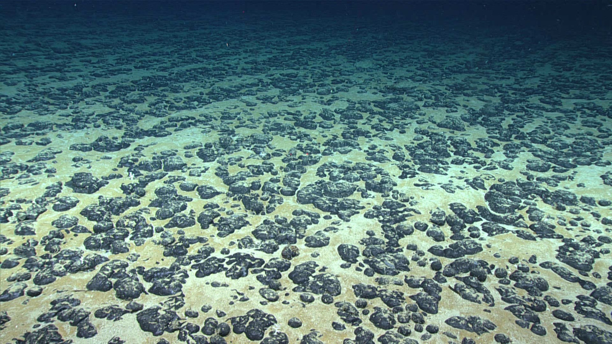
The National Oceanic and Atmospheric Administration's National Ocean Service has launched a hydrographic survey project aimed at mapping and characterizing over 30,000 square nautical miles of federal waters off the coast of American Samoa. Announced today, this initiative aligns with the Department of Commerce's efforts to execute the U.S. Offshore Critical Minerals Mapping Plan, which was established under President Trump’s Executive Order 14285. This order seeks to enhance the exploration and utilization of America's offshore critical minerals and resources, highlighting the government's commitment to advancing marine resource management and environmental stewardship. The survey will utilize advanced mapping technologies to gather essential data, which will inform future resource development and conservation strategies in the region.
noaa u.s. offshore critical minerals mapping plan national ocean service subsea miningRobotics needs a service framework.
RSF defines a common language for robot service capability, lifecycle operations, certification pathways, and service-provider networks.
Join the RobotToday community on LinkedIn
Daily robotics news, in-depth analysis, conference highlights, and discussions with professionals worldwide.







