

Industry Briefing
A single destination for timely, editor-curated robotics news from around the world.
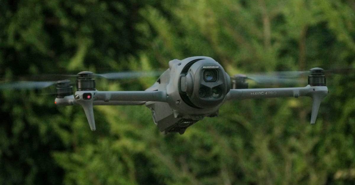
Alabama Photographer's DJI Mavic 4 Pro Drone Shot Down During Real Estate Shoot
During a routine real estate shoot in Alabama on August 29, photographer Michael Gardner reported that his DJI Mavic 4 Pro drone was shot down. While photographing a property in Athens, he heard a gunshot and watched as the drone's live feed malfunctioned, leading to its crash about 250 feet above a wooded area. Gardner later recovered the damaged drone, which had a bullet strike one of its rear motors. This incident highlights significant safety concerns associated with drone operations. Gardner emphasized that shooting at a drone poses risks not only to the aircraft but also to people and property below. The DJI Mavic 4 Pro, known for its advanced capabilities, features a 100-megapixel camera and can shoot 6K video, making it a popular choice for commercial photography. The potential for fire hazards from a bullet striking the drone's lithium-ion battery adds to the urgency of addressing such reckless behavior. Moving forward, it is crucial for drone operators and the public to understand the implications of shooting at drones. Gardner's experience serves as a reminder of the importance of safety regulations in drone operations. No further timeline was disclosed at the time of publication.
News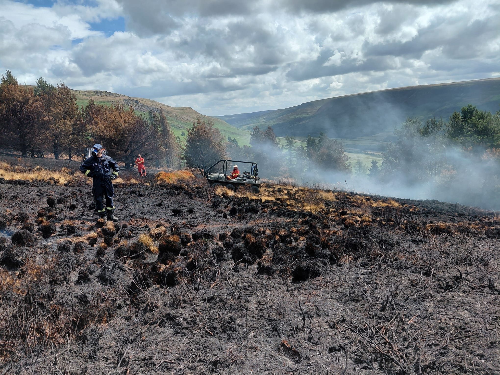
United Utilities Deploys Thermal Imaging Drones to Detect Moorland Fire Hotspots
United Utilities is employing thermal imaging drones to locate hidden hotspots from recent moorland fires in northwest England. Since the fires began at the end of June, the water company has been assisting emergency services. Despite cooler weather and rain, underground heat in peatland poses a risk of re-ignition, making the drones crucial for identifying these areas. The use of thermal drones is significant as it enhances the efficiency of firefighting efforts. Lindsay Page, United Utilities’ lead for Water Services in Greater Manchester, emphasized the collaborative effort with partners like the RSPB and Derbyshire Mountain Rescue. The drones provide GPS coordinates, allowing ground crews to target their resources effectively, which is vital in challenging terrain where monitoring from the ground is difficult. While major incidents have been scaled back, United Utilities continues to patrol areas like Dovestones and Tintwistle to extinguish remaining hotspots. The company has expanded its drone capabilities, previously trained for asset inspections, to include thermal imaging, significantly improving the identification of heat sources that may be hard to detect otherwise. No further timeline was disclosed at the time of publication.
Applications Drone News Drone News Feeds emergency response Fire Fire and Police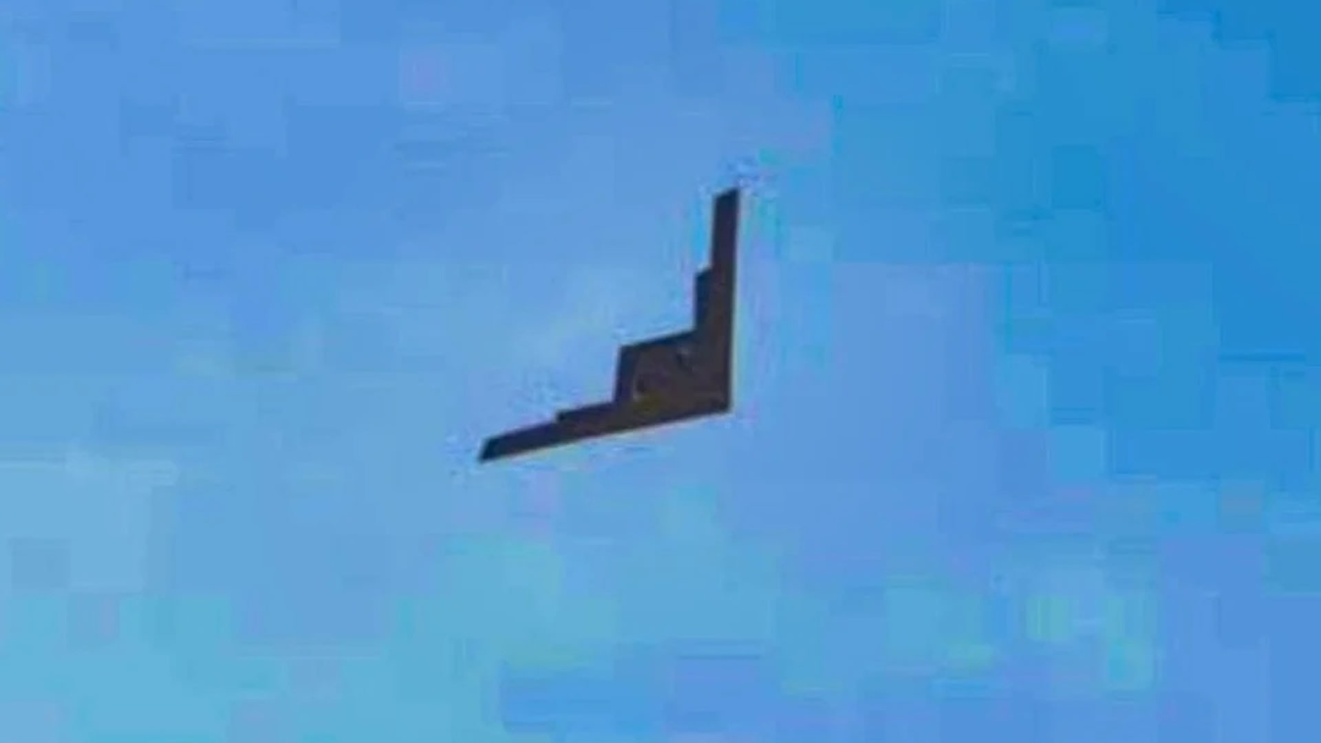
New Images of China's WZ-X Stealth Drone Reveal Key Features and Flight Capabilities
Recent images have surfaced showing China's WZ-X stealth drone, resembling the American B-2 Spirit. These photos, taken at an undisclosed location, highlight the drone's unique serrated trailing edge, suggesting advanced stealth capabilities. This design feature is intended to deflect radar signals, enhancing its operational effectiveness in contested airspace. The significance of the WZ-X lies in its potential role for reconnaissance missions, akin to the US RQ-170/RQ-180 drones. Analysts speculate that it could gather crucial intelligence while maintaining a low radar profile, thanks to its flying-wing design. The drone's daylight test flights indicate a shift towards a more advanced flight-test phase, suggesting increased confidence in its capabilities. Future developments to watch include the potential integration of advanced sensor systems such as synthetic-aperture radar and electronic-intelligence equipment. However, the exact specifications and operational capabilities of the WZ-X remain largely unverified, as the designation is unofficial and the images have not been independently authenticated.
Innovation Military
Reports Suggest Iranian Drones May Have Tracked US F-15E Before Shootdown
A recent report indicates that Iranian drones may have played a crucial role in tracking a U.S. Air Force F-15E Strike Eagle before its shootdown in April. According to a U.S. military official, these drones provided vital information regarding the aircraft's location, speed, and direction, aiding Iranian forces in targeting the fighter jet. This claim, reported by The New York Times, has not been independently confirmed by the Pentagon. The significance of this development lies in demonstrating how cost-effective unmanned systems can enhance a compromised air-defense network. Even basic drones equipped with cameras can detect aircraft and relay their positions, allowing for improved situational awareness. The report raises questions about the sensors used by Iranian drones and how tracking data was communicated to missile units, highlighting the potential for simpler drone networks to provide effective air-defense capabilities. Looking ahead, analysts are keen to understand the implications of this incident for military strategies involving drone technology. The concept of using inexpensive drones as disposable sensors could reshape air-defense tactics, as evidenced by their successful application in Ukraine. No further timeline was disclosed at the time of publication.
Military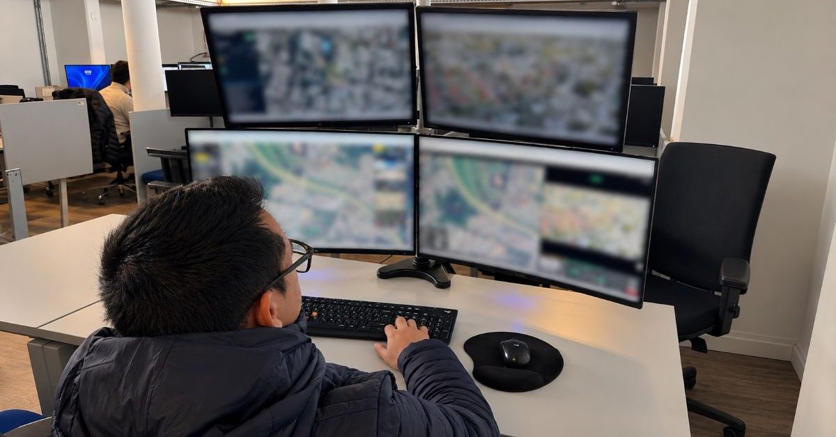
Hear a gunshot? Uruguay’s drones respond before police
In a bid to enhance emergency response efficiency, authorities in Montevideo, Uruguay, are deploying autonomous drones to assist in critical incidents. This innovative approach aims to reduce response times for police and emergency services, allowing them to gather vital information about unfolding situations before arriving on the scene. By utilizing drone technology, officials hope to improve situational awareness and ensure a more effective response to emergencies. The initiative reflects a growing trend in urban areas to integrate advanced technology into public safety measures, ultimately prioritizing the safety and well-being of the community.
News
SkyeBrowse makes every photo inside a drone 3D model clickable
SkyeBrowse has announced a significant update to its drone mapping software aimed at enhancing user experience in interpreting 3D models. The update, which is now available to all users at no extra charge, focuses on improving model quality and advancing AI-generated floor plans. Additionally, the newly accessible Image Walkthroughs feature is designed to assist users in better understanding the data captured through drone technology. This update addresses a common challenge faced by users in navigating and analyzing complex 3D representations, thereby streamlining the process of extracting valuable insights from aerial imagery.
News
Photos | Robots, drones and packed fields at Dutch Arable Farming Day
The Arable Farming Day, organized in Lelystad, Flevoland, on May 28, attracted over 1,000 attendees who engaged in various demonstrations, field tours, presentations, and exhibitor displays. The event, held under sunny skies, showcased a diverse array of agricultural practices, drawing significant interest from visitors. Organizers expressed satisfaction with the turnout and the positive feedback received, highlighting the importance of such events in promoting advancements in arable farming.
Uncategorized
Pokémon Go creator wants your drone photos to train AI
Niantic Spatial, the spinoff company from the creators of Pokémon Go, is investing heavily in drones and artificial intelligence by partnering with Spexi, the largest decentralized drone imagery network. This collaboration aims to develop intricate 3D maps of the real world, which are intended to enhance the training of future AI systems and robots. The initiative reflects Niantic's commitment to leveraging advanced technologies to innovate and expand its capabilities beyond mobile gaming.
News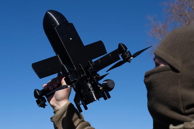
Ukraine Says It Shot Down 33,000 Russian Drones in March, a Monthly Record
In March, Ukraine achieved a significant milestone by intercepting over 33,000 Russian drones, marking the highest monthly total since the onset of the full-scale invasion by Moscow more than four years ago. This accomplishment was reported by Ukraine's defense minister, highlighting the effectiveness of the country's interceptor systems in countering aerial threats. The surge in drone interceptions underscores the ongoing intensity of the conflict and Ukraine's commitment to defending its airspace against persistent attacks.
Robotics needs a service framework.
RSF defines a common language for robot service capability, lifecycle operations, certification pathways, and service-provider networks.
Join the RobotToday community on LinkedIn
Daily robotics news, in-depth analysis, conference highlights, and discussions with professionals worldwide.







