Industry Briefing
A single destination for timely, editor-curated robotics news from around the world.
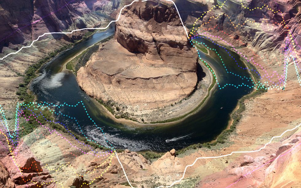
AI Models Map the Colorado River’s Hard Choices
As the Colorado River faces a critical water crisis, projections indicate that 2026 could be its worst year on record, with flows down 20% from 2000 levels. This alarming situation has prompted negotiations among seven U.S. states over water-sharing agreements to collapse twice, leading the federal government to consider imposing its own plan. The U.S. Bureau of Reclamation, responsible for managing the river's operations, is utilizing advanced machine learning tools and millions of simulations to forecast streamflow and assess reservoir strategies. These technologies are enhancing decision-making processes by providing clearer insights into the consequences of various water management strategies. In addition to Reclamation's efforts, researchers from institutions like Metropolitan State University of Denver and Utah State University are developing forecasting systems that leverage satellite data and deep learning to issue drought warnings and analyze the river's interdependencies. However, despite these advancements, the models are limited by historical data that may not accurately reflect the current and future conditions of the river, particularly during droughts. While improved forecasting tools are fostering discussions among stakeholders, the fundamental challenge remains: determining how to allocate the diminishing water resources fairly. Experts warn that the impending cuts will significantly impact agriculture and communities reliant on the river, underscoring the need for human judgment in navigating the complex moral and economic implications of the crisis. Despite the challenges, there is cautious optimism that these tools are facilitating dialogue among the parties involved.
Colorado-river Drought Environmental-policy Climate-change Simulations Evolutionary-algorithm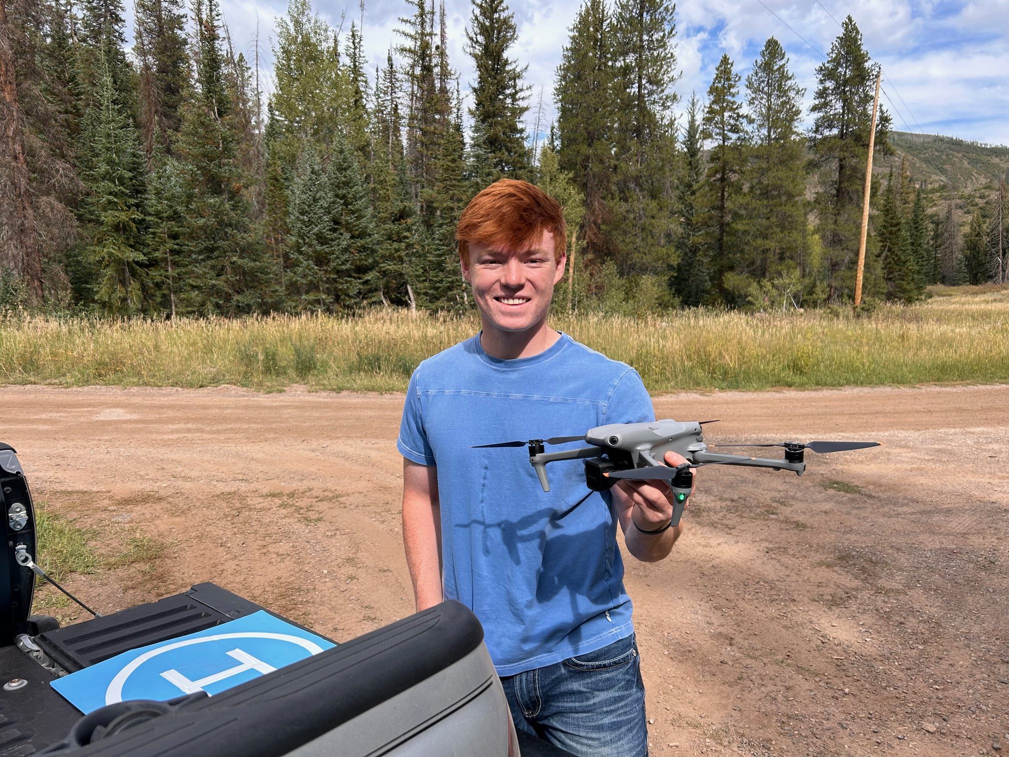
How Rural Colorado Is Putting Drones to Work for Conservation
In this guest post, Vanessa Trout, Executive Director of the White River Conservation District, describes how rural conservation districts in Colorado are using drone technology to support agriculture, watershed management, and land stewardship. Her article explores how practical drone applications can help small communities monitor and manage natural resources more efficiently. DRONELIFE does not accept […] The post How Rural Colorado Is Putting Drones to Work for Conservation appeared first on DRONELIFE.
Agriculture Applications Conservation DL Exclusive Drone News Drone News FeedsRobotics needs a service framework.
RSF defines a common language for robot service capability, lifecycle operations, certification pathways, and service-provider networks.