

Industry Briefing
A single destination for timely, editor-curated robotics news from around the world.

Fugro Collaborates on EU's OCEANITY Project for Digital Twin Ocean Development
Fugro has joined the Horizon Europe-funded OCEANITY project to develop decision-ready applications for coastal and marine stakeholders as part of the European Digital Twin Ocean initiative. This project aims to provide insights for navigating climate and environmental challenges by allowing users to test decision outcomes before implementation. The significance of this initiative lies in its potential to enhance decision-making for coastal communities and maritime industries facing complex challenges due to climate change and environmental stressors. By integrating advanced modeling, AI, and socio-economic data, the OCEANITY project seeks to empower stakeholders with the tools necessary to explore various scenarios and their impacts on ecosystems and economies. Running from September 2026 to August 2029, the project will focus on developing three user-driven applications related to Coastal & Urban Resilience, Marine Spatial Planning, and Sustainable Maritime Operations. The collaboration involves a consortium led by CMCC, ensuring that the developed tools address real-world needs and challenges across Europe’s four sea basins.
fugro eu europe digital twin ocean oceanity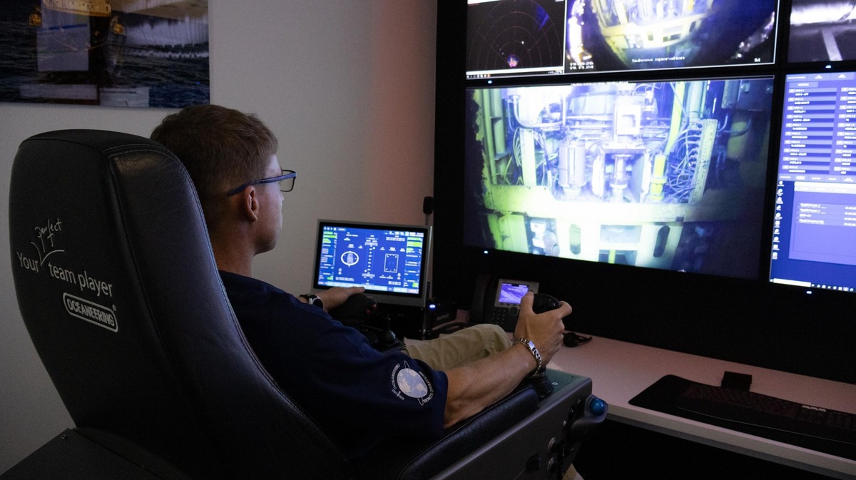
Oceaneering Becomes Authorized Starlink Reseller to Enhance Digital Operations
Oceaneering International, Inc. has announced its status as an authorized Starlink reseller, broadening its digital solutions for offshore and industrial clients. This move allows Oceaneering to integrate Starlink's connectivity into its offerings, enhancing operational continuity in remote environments. The significance of this development lies in the critical role reliable connectivity plays in modern offshore operations. By offering Starlink as part of its digital solutions, Oceaneering aims to improve data access, remote collaboration, and operational visibility for its customers, thereby supporting informed decision-making. Looking ahead, Oceaneering's expanded connectivity options will cater to various applications, including remote monitoring and technical support. No further timeline was disclosed at the time of publication.
oceaneering digital operations starlink
BMT Partners with Seabed 2030 to Enhance Ocean Mapping in Asia Pacific and Globally
BMT has officially joined the Seabed 2030 Project, a collaborative initiative aimed at mapping the world's oceans. This partnership will leverage BMT's extensive maritime expertise to support the project's goal of creating a comprehensive ocean map, which is crucial for understanding marine risks and opportunities. The Seabed 2030 Project, endorsed by the UN Ocean Decade, seeks to compile all ocean floor data into the freely available GEBCO Ocean Map. Despite its significance, much of the ocean remains unmapped, which hinders decision-making in marine environments. BMT's involvement is expected to enhance collaboration within the geospatial and maritime communities, accelerating the mapping process. As BMT expands its maritime capabilities across Australia and the Asia Pacific, this partnership will integrate its knowledge in maritime design and environmental solutions with Seabed 2030's mission. No further timeline was disclosed at the time of publication.
bmt usv ocean mapping
NATO’s Digital Ocean Vision Concludes Three-day Wargame
From June 10 to 13, 2025, NATO hosted a digital wargame as part of its innovative Digital Ocean Vision initiative. This event allowed participants to evaluate and compare next-generation maritime systems with conventional naval platforms. The exercise aimed to enhance strategic capabilities and foster collaboration among member nations in adapting to evolving maritime threats. By integrating advanced technologies into traditional naval operations, NATO seeks to ensure readiness and effectiveness in future maritime engagements.
nato digital ocean vision wargaming
IDS: Digital precision transforms aircraft construction with Ensenso 3D vision
In a significant advancement for aircraft manufacturing, an Ensenso 3D camera has been integrated into an automated process chain to enhance the precision of drilling position detection and alignment during cabin assembly. This innovative technology aims to streamline operations and improve accuracy in the assembly line, ultimately contributing to higher quality standards in aircraft production. The implementation of the 3D camera system is expected to reduce errors and increase efficiency, addressing the industry's ongoing need for precision in complex assembly tasks. This development marks a crucial step forward in the integration of advanced imaging technology within the aerospace sector, reflecting the industry's commitment to leveraging automation for improved manufacturing processes.

Oceaneering Expands Vision™ Platform with Subsea Module for Engineering‑Grade Integrity Visualization
Oceaneering International, Inc. has unveiled Vision™ Subsea, a new module integrated into its cloud-based Vision™ 3D data visualization software platform, developed by its subsidiary GDi. Announced today, this innovative module provides engineers with access to engineering-grade point cloud data collected during remotely operated vehicle (ROV) operations. By offering a measurable and contextual view of subsea asset integrity, Vision™ Subsea enhances the ability to identify anomalies, conduct dimensional checks, and plan interventions effectively. This advancement aims to improve the safety and efficiency of subsea operations, addressing the growing need for precise monitoring and maintenance of underwater infrastructure.
oceaneering gdi vision™ platform subsea module integrity visualization
RS Aqua and UVision Partner to Deliver Underwater 3D Imaging Technology to the Ocean Science Industry of the UK & Ireland
RS Aqua, a specialist in ocean technology, has formed a new partnership with Copenhagen-based technology firm UVision. This collaboration aims to leverage both companies' expertise to advance innovations in marine technology. The announcement was made today, signaling a strategic move to enhance product offerings and expand market reach. By combining RS Aqua's experience in oceanic solutions with UVision's cutting-edge technology, the partnership seeks to address growing demands in the marine sector, particularly in areas such as environmental monitoring and data collection. This alliance is expected to facilitate the development of new technologies that will benefit various stakeholders in the marine industry.
rs aqua uvision partnership underwater 3d imaging technology
Memorandum of Understanding Between Deep Ocean Search and Deep Sea Vision
Deep Ocean Search and Deep Sea Vision, two leaders in ultra-deep-water technology, have announced the launch of advanced solutions featuring an Autonomous Underwater Vehicle (AUV) and new Remotely Operated Vehicles (ROVs) capable of operating at depths of 19,700 feet (6,000 meters). This significant development, revealed in October 2023, aims to enhance exploration and research capabilities in the challenging deep-sea environment. The collaboration between these two companies is driven by the growing demand for innovative underwater technology to support various industries, including marine research, oil and gas exploration, and environmental monitoring. By combining their expertise, Deep Ocean Search and Deep Sea Vision are set to provide cutting-edge tools that will facilitate deeper and more efficient underwater operations.
memorandum of understanding (mou) deep ocean search deep sea visionRobotics needs a service framework.
RSF defines a common language for robot service capability, lifecycle operations, certification pathways, and service-provider networks.
Join the RobotToday community on LinkedIn
Daily robotics news, in-depth analysis, conference highlights, and discussions with professionals worldwide.







