Industry Briefing
A single destination for timely, editor-curated robotics news from around the world.
Gaussian Splatting Meets Photogrammetry: SimActive Integrates New Capability in Correlator3D
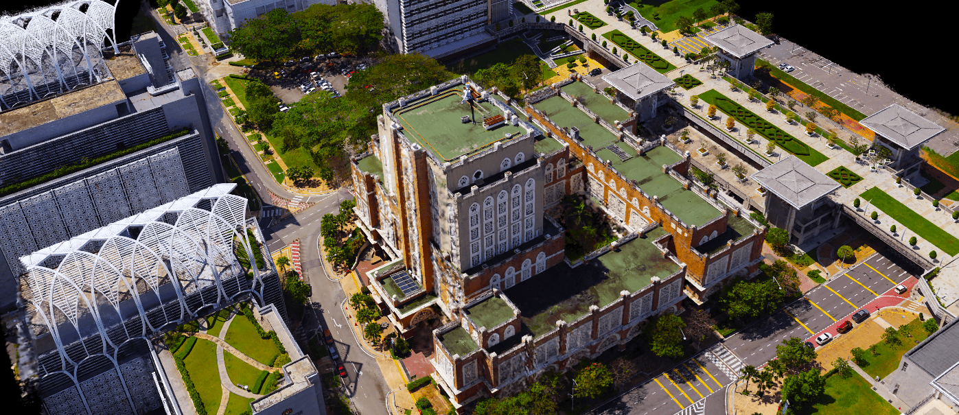
Gaussian splatting, a cutting-edge technique in 3D reconstruction, has gained significant attention for its ability to produce highly realistic and smooth-rendered scenes. This development has prompted discussions within the geospatial industry regarding its potential to extend beyond mere visualization and enhance real-world mapping workflows. In response to this growing interest, SimActive has integrated Gaussian splatting capabilities into its Correlator3D software. This integration aims to leverage the advantages of the technique to improve photogrammetry processes, thereby facilitating more accurate and efficient mapping solutions. The announcement highlights the ongoing evolution of technology in the geospatial field and its implications for practical applications.
Applications Canada Canadian Drone Industry DL Exclusive Drone News Drone News Feeds
Niantic Spatial and Spexi Turn Drone Imagery Into Physical AI
Niantic Spatial and Spexi Geospatial have formed a strategic partnership to enhance the use of aerial drone imagery for enterprise applications. This collaboration integrates Spexi’s extensive aerial data network with Niantic Spatial’s advanced 3D reconstruction technology, enabling the creation of city-scale 3D Gaussian splats. Announced recently, this initiative aims to provide businesses with on-demand access to drone imagery, facilitating the development of physical AI solutions. The partnership is expected to streamline the process of transforming aerial captures into actionable data for various industries, marking a significant advancement in the utilization of drone technology for commercial purposes.
AI Drone News Drone News Feeds Mapping News 3D reconstruction
Voyis and EIVA Launch Geo-Located Camera Mapping for Voyis VSLAM with EIVA NaviSuite
Voyis and EIVA, companies under the Covelya Group, have unveiled a significant enhancement to their Voyis VSLAM technology, powered by EIVA NaviSuite. This update, announced recently, introduces absolute geo-located mapping for real-time camera-based 3D reconstruction, specifically tailored for subsea inspection and metrology. The new feature allows point clouds generated by VSLAM to be directly projected into global coordinates from the outset of an inspection mission, improving accuracy and efficiency in underwater assessments. This advancement aims to streamline operations in subsea environments, enhancing the capabilities of professionals in the field.
voyis eiva geo-located camera-based mapping voyis vslam eiva navisuite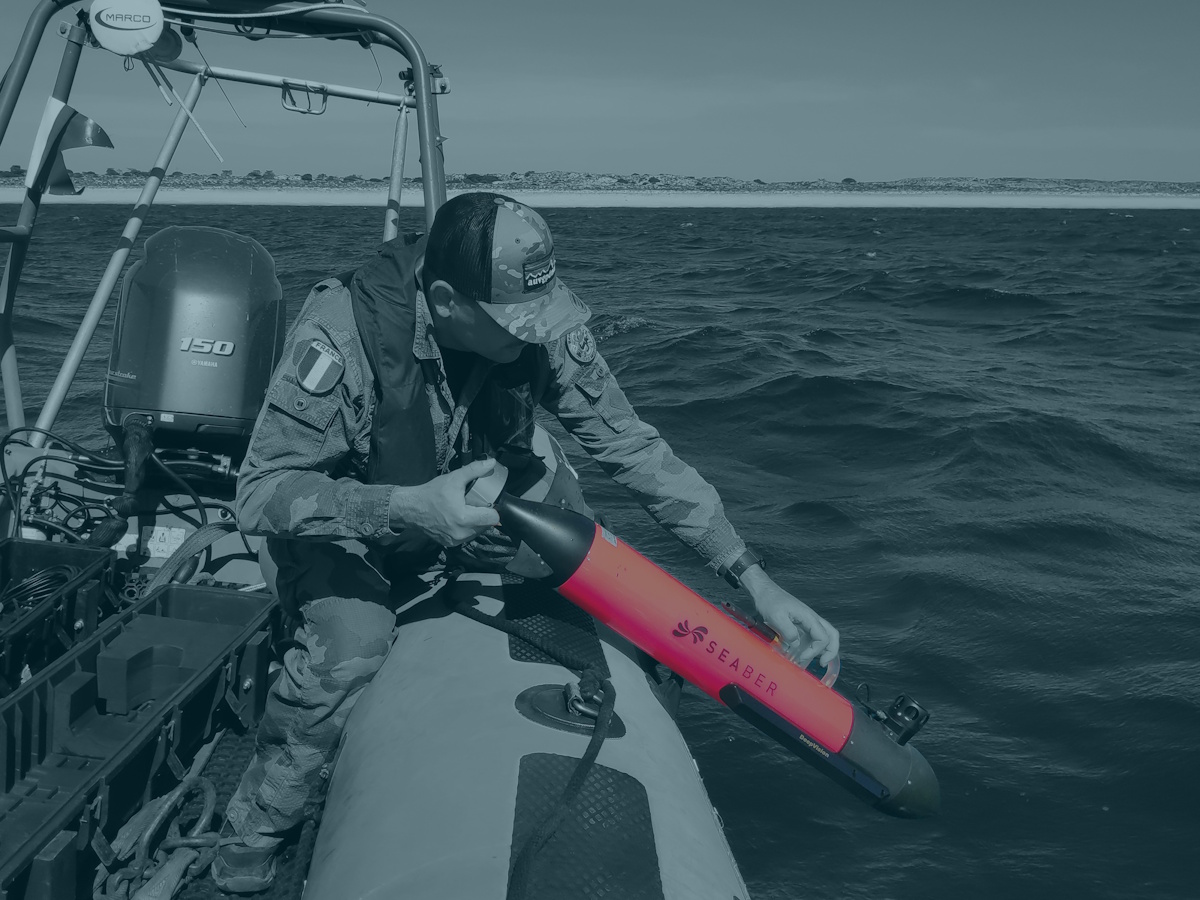
SEABER’s MARVEL 3DSS AUV for Beach Reconnaissance: A Technological Breakthrough for Naval Amphibious Operations
SEABER has achieved a significant milestone with the successful integration of a next-generation interferometric 3D side-scan sonar (3DSS) into its MARVEL micro-AUV, marking the first global deployment of this advanced technology on such a platform. Utilizing patented CAATI technology, the 3DSS provides high-resolution 2D imagery, true 3D seabed reconstruction, and centimetric-scale bathymetry from a compact system. In operational tests, the MARVEL-3DSS efficiently mapped a 300 × 150-meter beach approach zone in under 30 minutes, achieving speeds up to ten times faster than traditional methods while maintaining a minimal acoustic signature and eliminating the need for specialized personnel. This innovation significantly enhances the amphibious beach reconnaissance capabilities for naval forces, special operations units, and mine countermeasure teams, particularly in contested littoral environments.
seaber marvel 3dss auv beach reconnaissance amphibious operations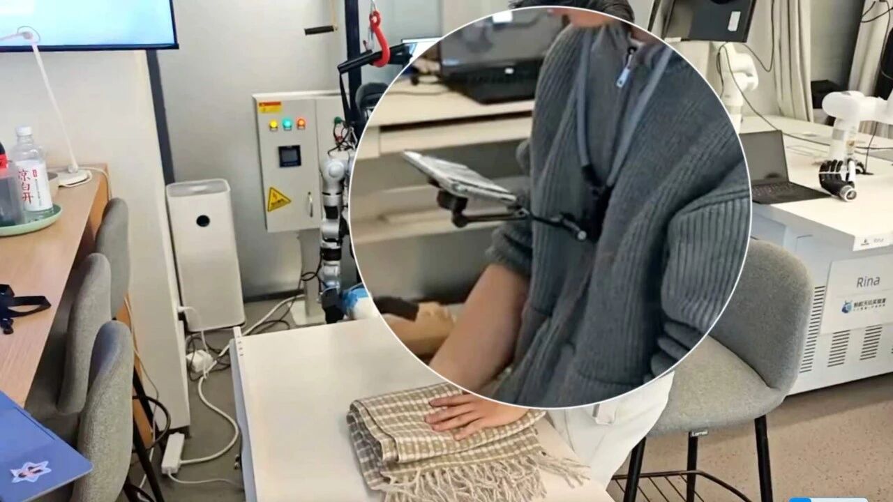
Ant Group Launches Open-AoE Framework for Embodied Intelligence Data Collection
Ant Group, in collaboration with several universities and research institutions, has introduced the Open-AoE framework aimed at enhancing embodied intelligence data collection. This initiative addresses the scarcity of high-quality 3D operational data necessary for training robots, which often rely on limited and standardized datasets from controlled environments. The Open-AoE framework plans to release approximately 2,000 hours of first-person human operation data collected using consumer smartphones. Currently, around 100 hours of this data is accessible, with the remainder set to be released in batches by July 30. Alongside the data, a comprehensive toolchain for data visualization, 4D reconstruction, and model training format conversion will also be made available to the community. The significance of this initiative lies in its potential to democratize data collection, allowing ordinary users to contribute valuable training data through their smartphones. Initial experiments have shown promising results, with the integration of smartphone-collected data significantly improving the performance of robotic tasks, indicating that such data can indeed enhance model training effectiveness.
Embodied Intelligence Open Source Data Robot Training AI Data Processing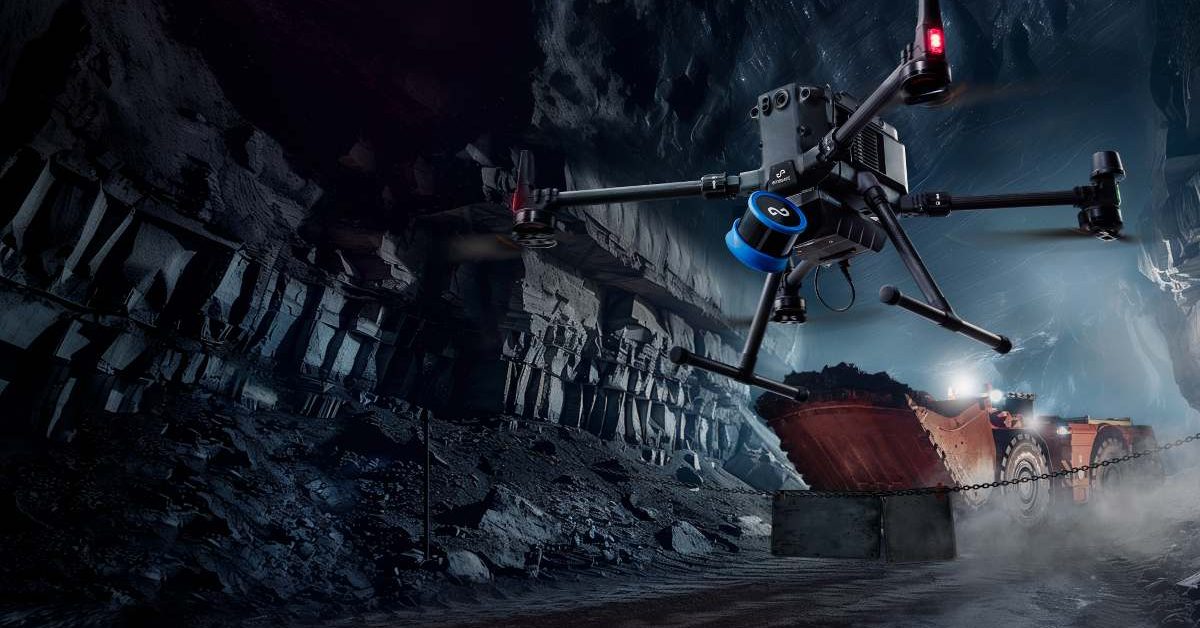
Emesent Secures $17 Million to Enhance AI-Driven Drone Operations and Expand Manufacturing
Emesent, an Australian drone mapping company, has raised $17 million to boost its AI-powered autonomous operations. This funding includes a $7 million venture debt facility from the National Reconstruction Fund Corporation and a $10 million equity round from notable investors such as Main Sequence and QIC Ventures. The investment aims to enhance the capabilities of drones in complex environments with minimal human intervention. The significance of this funding lies in Emesent's strategy to focus on software advancements alongside hardware improvements. The company plans to develop its Cortex AI autonomy software and Aura cloud platform, which will enable drones to operate in GPS-denied areas and process 3D mapping data efficiently. Emesent's existing Hovermap LiDAR payload is already utilized in over 200 mine sites globally, showcasing its established presence in the industrial drone sector. Looking ahead, Emesent intends to expand its manufacturing capabilities in Queensland while pursuing growth in international markets. CEO Charles Miller emphasized the importance of this investment in enhancing AI and autonomy for industries such as mining and defense. No further timeline was disclosed at the time of publication for the anticipated developments from this funding round.
News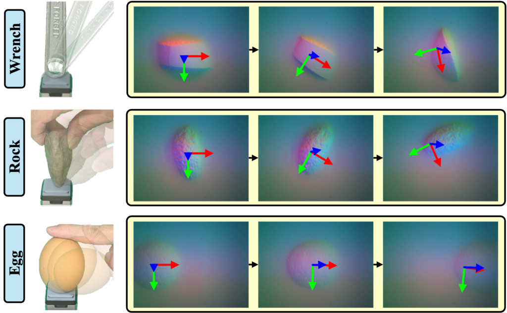
Innovative Algorithm Enhances Robot Tracking for High-Precision Manipulation Tasks
Researchers at Carnegie Mellon University's Robotics Institute are making strides in enhancing robotic capabilities with the development of an innovative algorithm designed to improve tracking for high-precision manipulation tasks. This advancement is particularly significant as it addresses the challenges robots face when handling a diverse range of low-texture objects, which require human-level dexterity for effective manipulation and reconstruction. The work, led by a Ph.D. student, aims to push the boundaries of current robotic tactile sensing technologies. By refining the algorithms that govern how robots perceive and interact with their environment, the team hopes to facilitate more accurate and versatile robotic applications in various fields. This breakthrough could pave the way for robots to perform complex tasks that demand a high degree of precision, ultimately revolutionizing the way robots are utilized in industries that rely on intricate object handling.
Research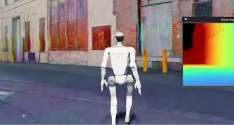
Niantic Spatial adds USDZ export to Scaniverse to streamline robotics simulation workflows
Niantic Spatial has launched USDZ export for its Scaniverse app, enabling robotics developers to convert real-world environments into simulation-ready digital twins for use with Nvidia Isaac Sim. The new capability is designed to help address the long-standing “sim-to-real” gap in robotics, where systems trained in synthetic environments often struggle when deployed in complex, real-world settings. […]
News Robot simulation 3d scanning Autonomous robots digital reconstruction digital twinsRobotics needs a service framework.
RSF defines a common language for robot service capability, lifecycle operations, certification pathways, and service-provider networks.