


Niantic Spatial
"Real-world foundation models for physical AI"
Builds real-world foundation models and a Visual Positioning System that give robots and AI centimeter-accurate localization and 3D understanding, including.
Contact Niantic Spatial
WEBSITE
https://www.nianticspatial.com/HEADQUARTERS
United States


Company Facts
Founded
2025
Primary Role
Software/Algorithm
Company Size
-
Primary Region
North America
Annual Sales
-
Funding Stage
-
Funding Total
-
Certifications & Memberships

LG Electronics Showcases Robotics at 2026 First Global Challenge in Incheon
LG Electronics is actively participating in the 2026 First Global Challenge, an international youth robotics competition taking place at Songdo Convensia in Incheon. The event, which runs from Wednesday to Saturday, gathers youth teams from 185 countries to design and build robots aimed at addressing global challenges, particularly focusing on wildfire prevention and recovery due to climate change. This year's competition, themed “Igniting Innovation,” emphasizes the importance of robotics in tackling pressing issues like wildfires. LG's involvement includes sponsoring the event and showcasing its latest robotics technologies at an exhibition booth. The company also features its humanoid robot, LG CLOiD, allowing visitors to engage with the technology and learn about the innovative solutions being developed by young participants. As LG increases its investment in robotics as a key growth area, it aims to integrate physical AI into its strategy. The company recently launched LG Data Factory to enhance data management for robotics training. No further timeline was disclosed at the time of publication.
All News
Zhiyuan's Data Business Struggles to Support Robotics at $20 Per Hour
Zhiyuan's data business is facing challenges as it operates at a rate of $20 per hour, which is insufficient to sustain the robotics industry. The company is exploring new avenues to enhance its offerings and address the growing demand for data in robotics. This situation highlights the broader issue within the robotics sector, where the cost of data collection and processing is becoming a critical factor. As companies seek to innovate and improve their robotic systems, the financial viability of data services like those offered by Zhiyuan is under scrutiny. Looking ahead, industry stakeholders should monitor how Zhiyuan adapts its business model to better serve the robotics market. No further timeline was disclosed at the time of publication.
Robotics Automation AI
Fudan Team Develops Robot Mat Capable of Harvesting Ground Electricity, Eliminating Battery Needs
A team from Fudan University has developed an innovative robot mat that can harness electricity from the ground, thus removing the necessity for batteries. This advancement could significantly impact the design and functionality of mobile robots, making them more efficient and environmentally friendly. The ability to extract energy directly from the ground is a game-changer in robotics, as it addresses one of the major limitations of mobile robots: battery dependency. This technology could lead to longer operational times and reduced maintenance costs, enhancing the overall performance of robotic systems in various applications. Future developments in this area will be crucial to watch, particularly how this technology can be integrated into existing robotic platforms. No further timeline was disclosed at the time of publication.
Robotics Automation AI
Huawei Unveils XMFS Prototype for Cross-Node Shared Memory at LPC 2026
Huawei presented its XMFS prototype at the Linux Plumbers Conference 2026, showcasing a new approach to cross-node shared memory. This innovative system utilizes POSIX file calls to facilitate memory sharing across different nodes, enhancing performance and efficiency in distributed computing environments. The introduction of XMFS is significant as it addresses the growing need for efficient memory management in multi-node systems. By enabling cross-node shared memory, Huawei aims to improve data accessibility and processing speed, which are critical for applications requiring high-performance computing. Looking ahead, industry observers will be keen to see how XMFS evolves and whether it will undergo further development to achieve mainline review status. The potential impact of this technology on distributed computing and memory management practices will be closely monitored in the coming years.
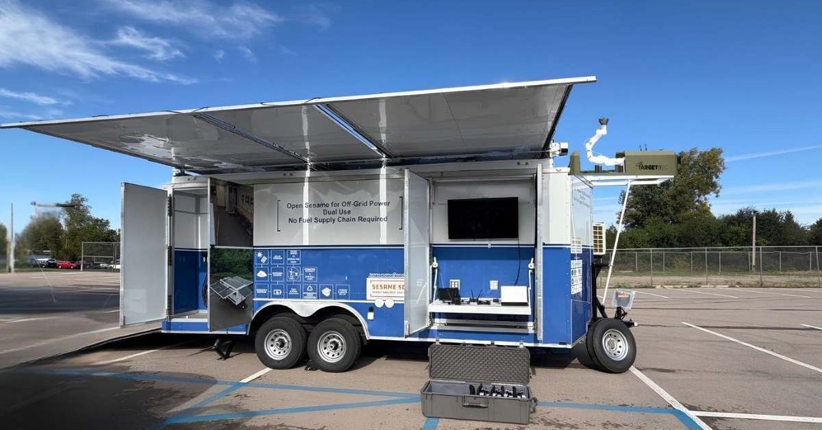
New Mobile System Enhances Drone Operations with Persistent Nanogrid Technology
Three US companies, Sesame Solar, Target Arm, and AG3 Labs, have introduced the first Made-in-USA Persistent Drone Operations Nanogrid. This innovative mobile system integrates power generation, autonomous drone launch and recovery, and configurable small drones to enhance operational efficiency in combat and other environments. The significance of this development lies in its potential to minimize downtime for drones, which is crucial for maintaining continuous operations. By automating the launch, recovery, and recharging processes, the Nanogrid addresses challenges faced by drone teams, particularly in remote or contested areas where conventional fuel resupply is difficult. Looking ahead, the companies anticipate that this system will find applications beyond military use, including border monitoring, search and rescue, and critical infrastructure inspections. No further timeline was disclosed at the time of publication.
News
Xiaomi Expands Apple Device Integration with HyperOS 4 Features
On October 7, Xiaomi announced enhanced integration with Apple devices in HyperOS 4, allowing users to share photos, files, contacts, and web pages seamlessly across both ecosystems. This new functionality includes two-way access to iPhone and Xiaomi cloud photo albums, notification syncing, and the ability to reply to messages without switching devices. The integration supports various Apple devices, including iPhone, iPad, and Mac. Users can view and control their Xiaomi phone through Xiaomi’s connectivity app on Mac and iPad, provided they have compatible software versions, a shared Xiaomi account, and the necessary network connection. This feature aims to enhance user experience by bridging the gap between Xiaomi and Apple ecosystems. HyperOS 4 was initially introduced with the Xiaomi 18 Pro series in September, and a wider rollout is set to commence on October 15. As Xiaomi continues to expand its software capabilities, it will be interesting to observe how this integration impacts user adoption and the competitive landscape between Xiaomi and Apple.
News Feed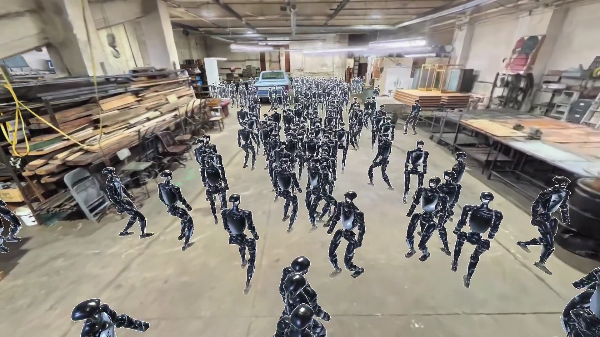
Niantic Spatial Introduces Places Library Featuring 100 Real Environments for Robot Training
Niantic Spatial has launched its Places Library, providing robotics developers with a catalog of 100 real environments for training and evaluation. The assets, available as USDZ files, include two representations for each environment: a Gaussian splat for visual appearance and a mesh for collision detection. This initiative aims to enhance embodied AI training by offering realistic settings that align with gravity and support various simulators, including NVIDIA Isaac Sim. The significance of this launch lies in its potential to improve robot training efficiency. By utilizing real-world environments captured with a standard 360-degree camera, Niantic ensures that robots receive accurate visual and collision data, which is crucial for effective navigation and interaction. The library includes diverse settings, such as medical warehouses and urban streets, allowing developers to test their robots in varied scenarios without the need for extensive in-house data collection. Looking ahead, the Places Library could facilitate more advanced evaluations of robotic behavior in different environments. While the library's impact on performance across the 100 environments remains to be seen, it offers a valuable resource for robotics teams aiming to refine navigation tasks and adapt to changing surroundings. No further timeline was disclosed at the time of publication.
Niantic Spatial Flexion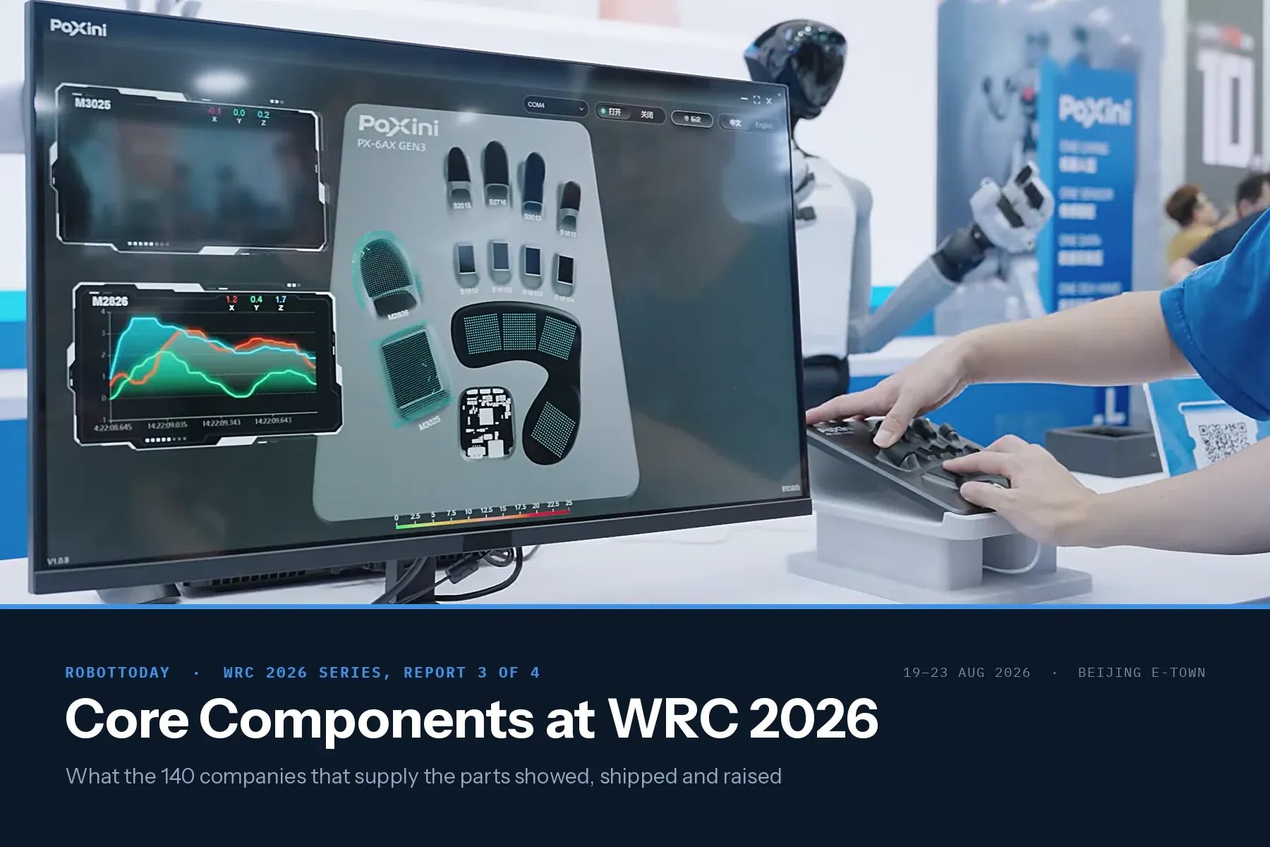
WRC 2026 Core Components: 137 Robot Parts Suppliers
The third report in the WRC 2026 series. Report 1 mapped all 248 exhibitors by category and Report 2 covered the 139 that build finished robots. This one covers the 137 that build what goes inside them.

Handbook of Marine Craft Hydrodynamics and Motion Control Thor I. Fossen — RSF Specialist Shelf · Book S1 of 6
Added mass, wave loading, DVL navigation: the marine GNC reference for USV, ROV and AUV service engineers. The hardest book on the RSF list, 5/5.
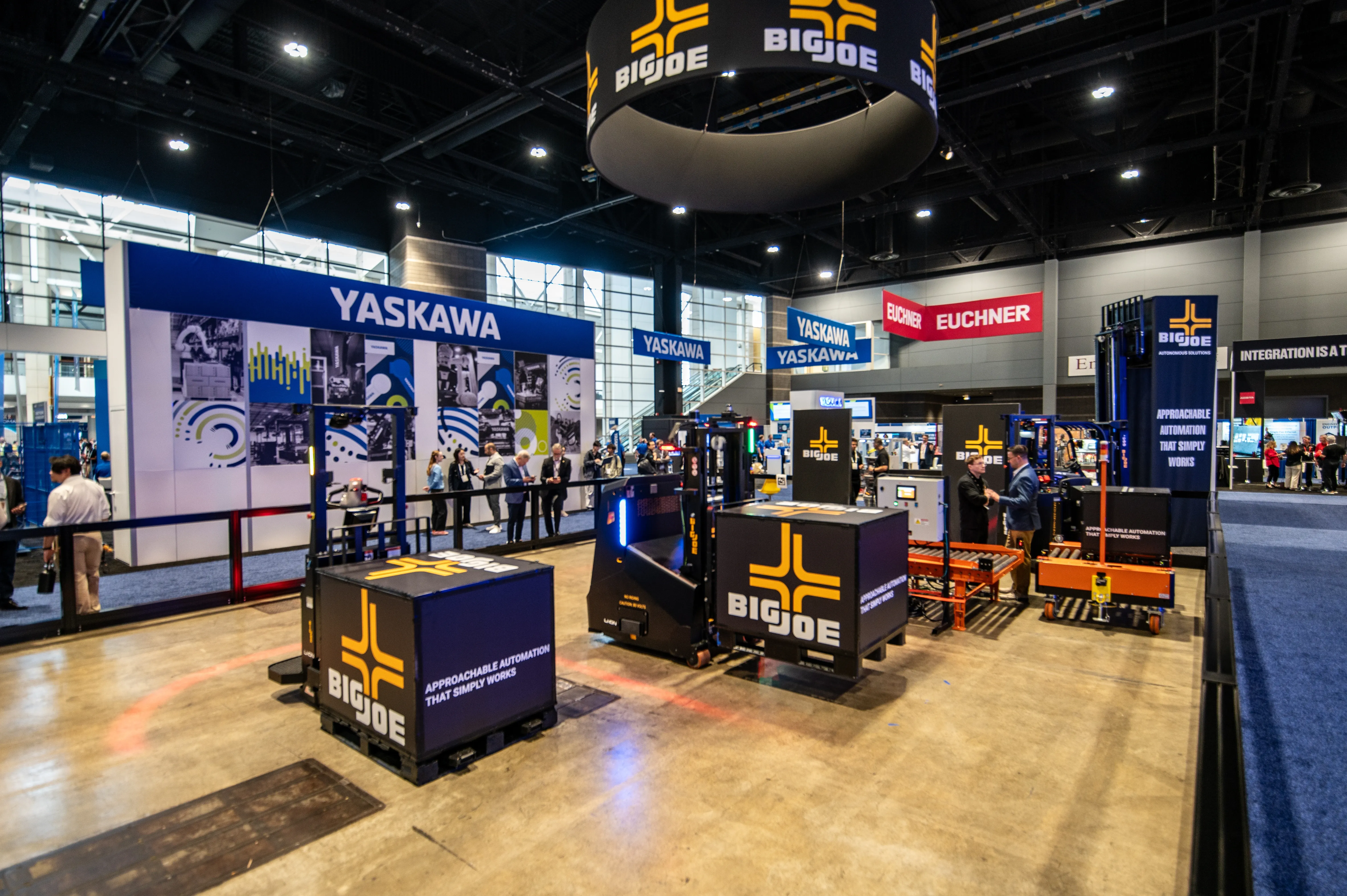
Big Joe's Four-Product AMR Push at Automate 2026: What It Reveals About the North American Warehouse Automation Market
RobotToday analyzes Big Joe's four new autonomous vehicles launched at Automate 2026 — AP44, ASC40, ATC100, ACV40 — in the context of North America's warehouse labor shortage and AMR market growth.

ROBOTTODAY Weekly July 6 – 10, 2026
This week in robotics: AI² Robotics raises $735M for wheeled humanoids, Unitree G1 performs first live surgery, Dexmal launches DexOS platform, Agility Robotics announces SPAC, and Ondas acquires DZYNE for $875.8M. July 6–10, 2026.

Physical AI Landscape: From Digital Intelligence to the Embodied Physical World
A comprehensive industry analysis of Physical AI — covering Embodied AI, Field AI, Factory AI, VLM, World Model, VLA, and the VLA vs WAM architecture debate. Includes 20+ companies, 28 references, and the RobotToday Physical AI Landscape diagram. July 2026.

Niantic Spatial adds USDZ export to Scaniverse to streamline robotics simulation workflows
Niantic Spatial has launched USDZ export for its Scaniverse app, enabling robotics developers to convert real-world environments into simulation-ready digital twins for use with Nvidia Isaac Sim. The new capability is designed to help address the long-standing “sim-to-real” gap in robotics, where systems trained in synthetic environments often struggle when deployed in complex, real-world settings. […]
News Robot simulation 3d scanning Autonomous robots digital reconstruction digital twins
VisionNav Robotics at Automate 2026: Autonomous Stacking, Counterbalance Truck & BrightEye Vision
VisionNav Robotics showcases the VNE40-66 autonomous precision stacking solution, VNE20-07 counterbalance truck, and BrightEye vision platform at Automate 2026 in Chicago, June 22–25.

ROBOTTODAY Weekly May 23 – 29, 2026
This week in robotics: the Humanoids Summit debuts in Tokyo, China assigns every humanoid robot a digital ID, Figure signs a Catalyst Brands deployment deal, and Unitree heads to a June 1 IPO hearing. May 23–29, 2026.

Pokémon Go creator wants your drone photos to train AI
Niantic Spatial, the spinoff company from the creators of Pokémon Go, is investing heavily in drones and artificial intelligence by partnering with Spexi, the largest decentralized drone imagery network. This collaboration aims to develop intricate 3D maps of the real world, which are intended to enhance the training of future AI systems and robots. The initiative reflects Niantic's commitment to leveraging advanced technologies to innovate and expand its capabilities beyond mobile gaming.
News
Niantic Spatial and Spexi Turn Drone Imagery Into Physical AI
Niantic Spatial and Spexi Geospatial have formed a strategic partnership to enhance the use of aerial drone imagery for enterprise applications. This collaboration integrates Spexi’s extensive aerial data network with Niantic Spatial’s advanced 3D reconstruction technology, enabling the creation of city-scale 3D Gaussian splats. Announced recently, this initiative aims to provide businesses with on-demand access to drone imagery, facilitating the development of physical AI solutions. The partnership is expected to streamline the process of transforming aerial captures into actionable data for various industries, marking a significant advancement in the utilization of drone technology for commercial purposes.
AI Drone News Drone News Feeds Mapping News 3D reconstruction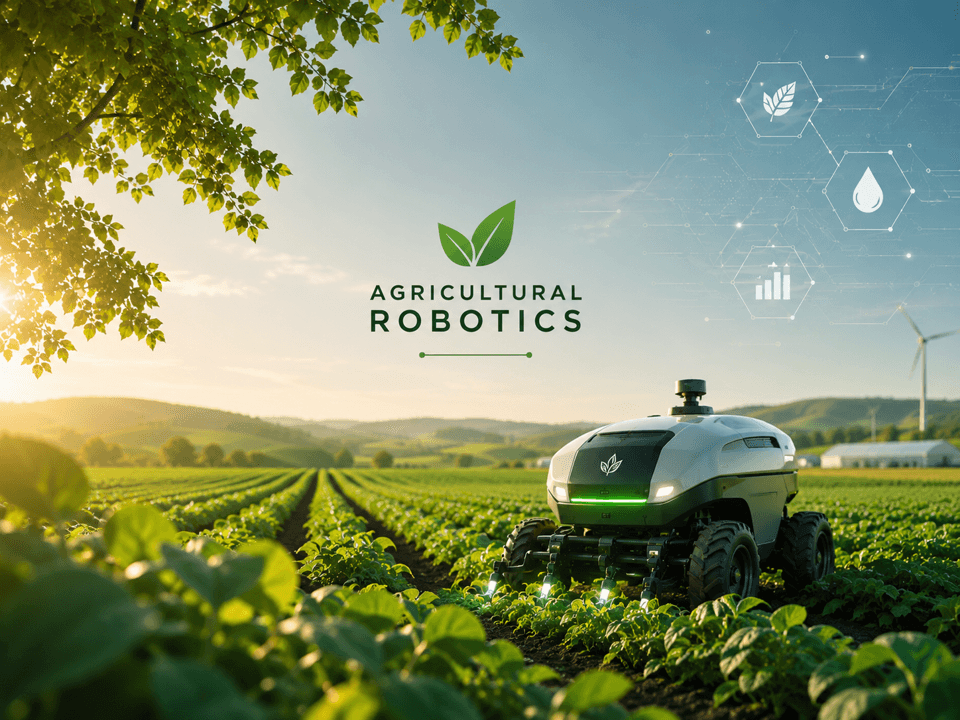
AGRICULTURAL ROBOTICS SERIES — Company Directory 2026
Access the definitive 2026 directory of 150+ agricultural robotics companies. A comprehensive reference guide covering autonomous tractors, harvest automation, precision weeding, and AI data platforms across the global agtech ecosystem.

CONSTRUCTION ROBOTICS | MATERIALS LOGISTICS & SITE AUTOMATION
Construction sites waste 30% of worker time moving materials. Autonomous material logistics robots — from Kewazo's Liftbot to Bedrock Robotics and GoLe AMRs — are eliminating that waste. Key stat: Kewazo Liftbot saves 70% of scaffold man-hours. This segment delivers better ROI than headline bricklayers.

Agricultural Robotics | Autonomous Tractors: The $13B Platform Battle in Plain Sight
Autonomous tractors target a $2.7B market growing at 22% CAGR to 2032. Deep-dive on John Deere 8R, AGCO Fendt, CNH Industrial, Kubota AgriRobo, and Monarch MK-V — and why the platform war matters more than the hardware.


